

Hurricane Erin brings high surf, flooding along Atlantic coast, NHC monitoring 3 tropical waves

Tracking the Tropics: August 21, 2025
FOX 13 meteorologist Nash Rhodes has the latest on Hurricane Erin and the rest of the tropics.
TAMPA, Fla. - As Hurricane Erin moves east of the U.S., bringing impacts along the Atlantic coast, the National Hurricane Center continues to watch three areas in the tropics for possible development.
Hurricane Erin's track
As of 5 p.m. on Thursday, Erin was located at 36.4N and 69.1W with maximum sustained winds of 100 mph.
The Category 2 hurricane is accelerating northeast at 20 mph, moving away from the United States.

Erin made its closest approach to the U.S. overnight, sending strong waves toward the Carolina coast and causing flooding in some areas.
Tropical Storm Warnings remain in effect for parts of North Carolina, Virginia and Bermuda as Erin's large wind field continues to bring widespread impacts, according to Meteorologist Nash Rhodes. Along the Outer Banks, storm surge warnings are still in place.

High tide on Thursday evening could bring a heightened surge threat to vulnerable areas, Rhodes said.
Coastal areas as far north as southern New England could also feel tropical storm-force winds through early Friday.
Tracking waves in the tropics

Meanwhile, the NHC is monitoring three other waves in the Atlantic. One of those tropical waves is a few hundred miles east of the Leeward Islands with a 50% chance of development over the next two days and a 70% chance in the next seven days.

FOX 13 Meteorologist Jim Weber says that regardless of development, the system will likely curve east of the U.S. much like Erin has.
Another disturbance, dubbed Invest 99L, has a 40% chance of development, according to the NHC. It's currently located several hundred miles west-southwest of the Cabo Verde Islands.

A disturbance in the central Atlantic has a low 30% chance of development and is moving east, posing no threat to the United States, Rhodes said.

Tampa Bay area forecast
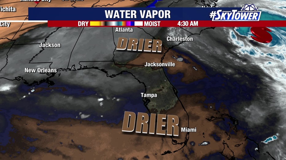
Hurricane Erin continues to pull moisture away from the Tampa Bay area, keeping rain chances at just 30% on Thursday.
Weber says rain coverage will return to about 50% on Friday and through this weekend.
The Source: This story was written with information from FOX 13 meteorologists, the National Hurricane Center and FOX Weather.