

Tropical disturbance in Atlantic should develop into Gabrielle: NHC

Tampa weather | Wednesday morning forecast
FOX 13 Meteorologist Dave Osterberg says Wednesday will bring a mix of clouds and sun with rain coverage at 30% and a high of about 92 degrees in Tampa.
TAMPA, Fla. - The National Hurricane Center says a tropical wave is moving into more favorable conditions for development over the Atlantic in the coming days, showing signs that it will be our next named storm.
As of Wednesday evening, the disturbance's odds of development had increased. The NHC is now giving it a 40% chance of development in the next two days and an 80% chance in the next seven days.

The wave continues to produce disorganized showers and thunderstorms southwest of the Cabo Verde Islands, and is expected to move west-northwest into early next week.
As for the long-term track, FOX 13 Meteorologist Dave Osterberg says most models currently show a curve to the north, but it's worth watching through next week as it approaches the islands.

FOX 13 Meteorologist Nash Rhodes says a weaker system would likely track farther west while a quickly organizing tropical storm of hurricane would likely be steered north quickly.

Rhodes says that the majority of weather models show that the disturbance could develop into a tropical depression within the next week.
While in the short-term it's battling dry air, Rhodes says it will eventually track into a more favorable environment with warmer sea surface temperatures as it nears the Leeward Islands.

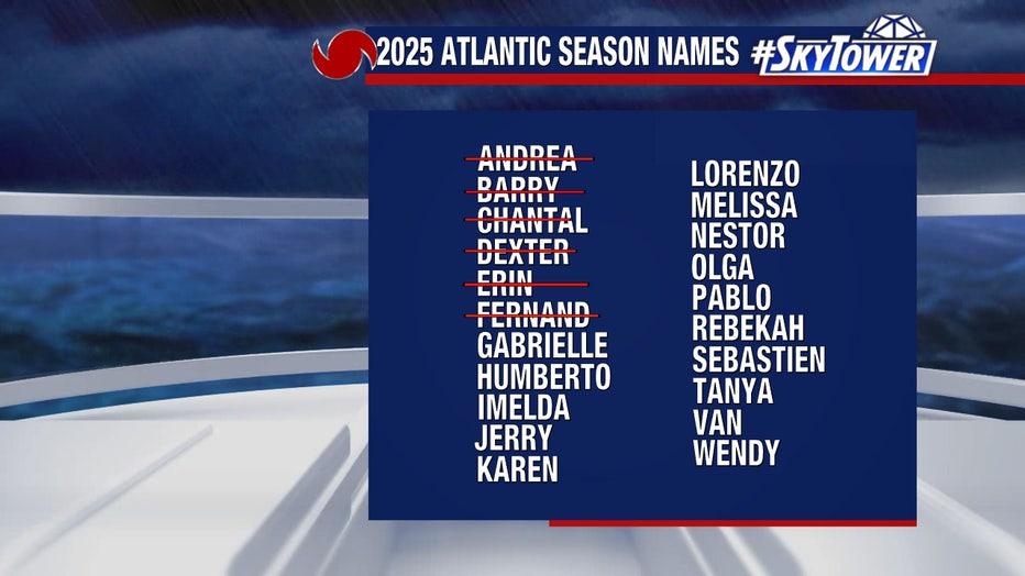
The next storm to develop in the Atlantic Basin will get the name Gabrielle.
The Source: This story was written with information from FOX 13 meteorologists and the National Hurricane Center.