

Tropical downpours and rain chances increase
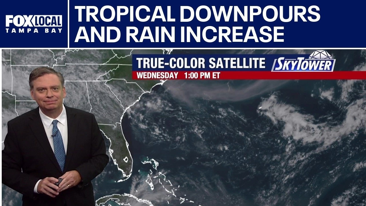
FOX 13 Meteorologist Jim Weber is watching a broad area of low pressure that is expected to develop across the Northeastern Gulf. The National Hurricane Center gives is a 20% chance of developing over the next seven days. Weber says it will likely move across the upper part of the state and enter the North Carolina coastline. He added that it will increase our rain chances over the weekend.
FOX 13 Meteorologist Jim Weber is watching a broad area of low pressure that is expected to develop across the Northeastern Gulf. The National Hurricane Center gives is a 20% chance of developing over the next seven days. Weber says it will likely move across the upper part of the state and enter the North Carolina coastline. He added that it will increase our rain chances over the weekend.
Today's tropical weather forecast
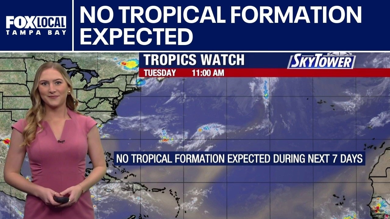
FOX 13 Meteorologist Valerie Mills does not expect any tropical formation over the next seven days. However, she said there is a broad area of low pressure that will be trying to develop in the Gulf next week. She said regardless of whether or not anything spins up, it is expected to increase wide-spread rain chances across the state.
FOX 13 Meteorologist Valerie Mills does not expect any tropical formation over the next seven days. However, she said there is a broad area of low pressure that will be trying to develop in the Gulf next week. She said regardless of whether or not anything spins up, it is expected to increase wide-spread rain chances across the state.
Rain chances may increase next week
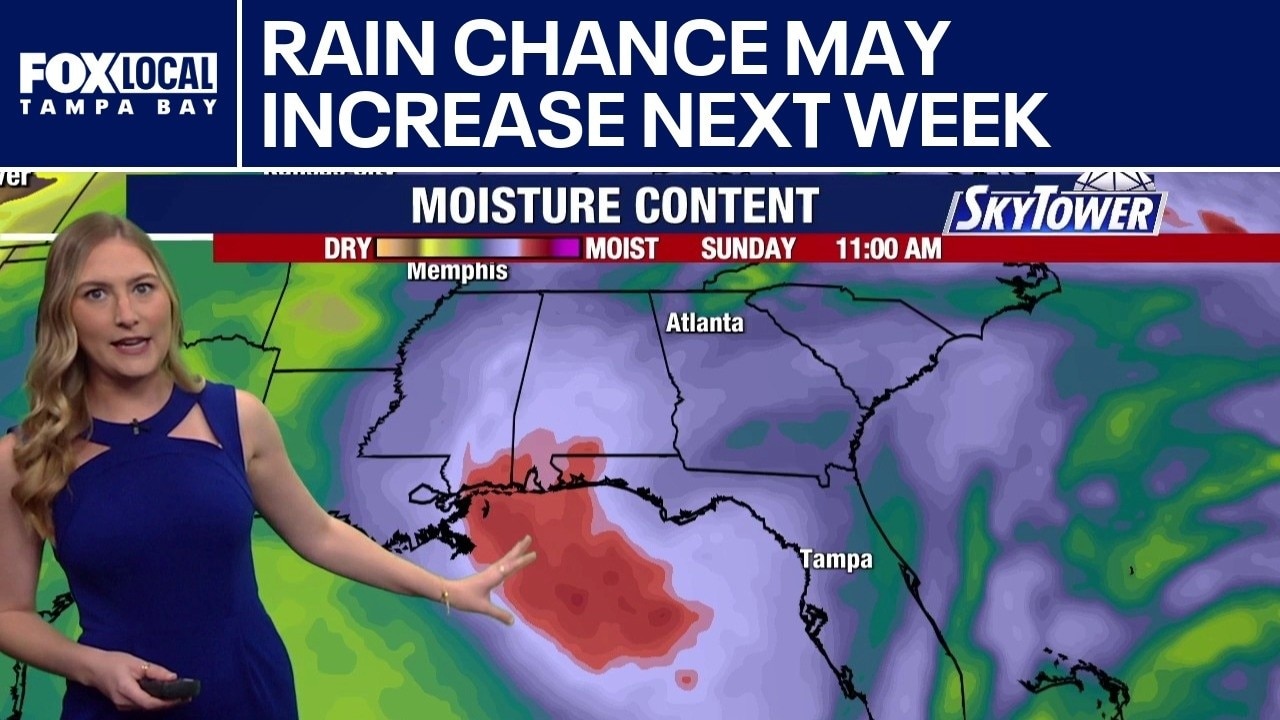
FOX 13 Meteorologist Valerie Mills says the tropics are expected to remain quiet for the next few days, but she is starting to see signs of a weak area of low pressure trying to form in the Gulf this coming Sunday and next Monday and Tuesday. She said regardless of any tropical development, it is expected to increase the rain chances across the Bay Area.
FOX 13 Meteorologist Valerie Mills says the tropics are expected to remain quiet for the next few days, but she is starting to see signs of a weak area of low pressure trying to form in the Gulf this coming Sunday and next Monday and Tuesday. She said regardless of any tropical development, it is expected to increase the rain chances across the Bay Area.
Tropics expected to remain quiet
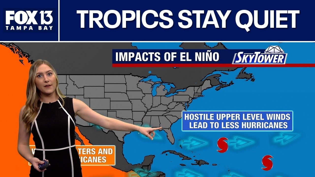
FOX 13 Meteorologist Valerie Mills says the hostile jet stream caused by the El Niño in the Eastern Pacific is lending itself to fewer tropical developments in the Atlantic basin. But, Mills says the water in the Atlantic is warm enough for tropical development. She says huge plumes of Saharan dust continue to move across the Atlantic.
FOX 13 Meteorologist Valerie Mills says the hostile jet stream caused by the El Niño in the Eastern Pacific is lending itself to fewer tropical developments in the Atlantic basin. But, Mills says the water in the Atlantic is warm enough for tropical development. She says huge plumes of Saharan dust continue to move across the Atlantic.
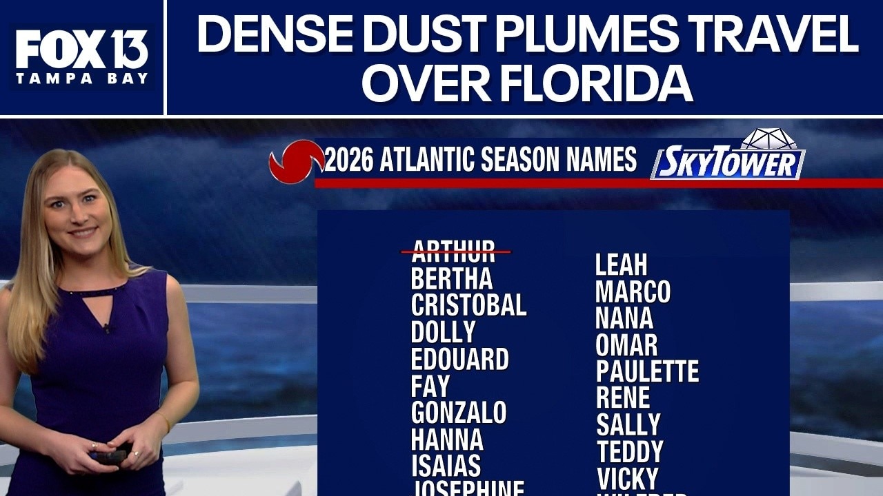
Dense plumes of Saharan dust travel over Florida
FOX 13 meteorologist Valerie Mills says dense plumes of Saharan dust will travel over Florida throughout the weekend. She says this will reduce the air quality in the area. Mills says the plumes greatly prevent tropical formations.
FOX 13 meteorologist Valerie Mills says dense plumes of Saharan dust will travel over Florida throughout the weekend. She says this will reduce the air quality in the area. Mills says the plumes greatly prevent tropical formations.
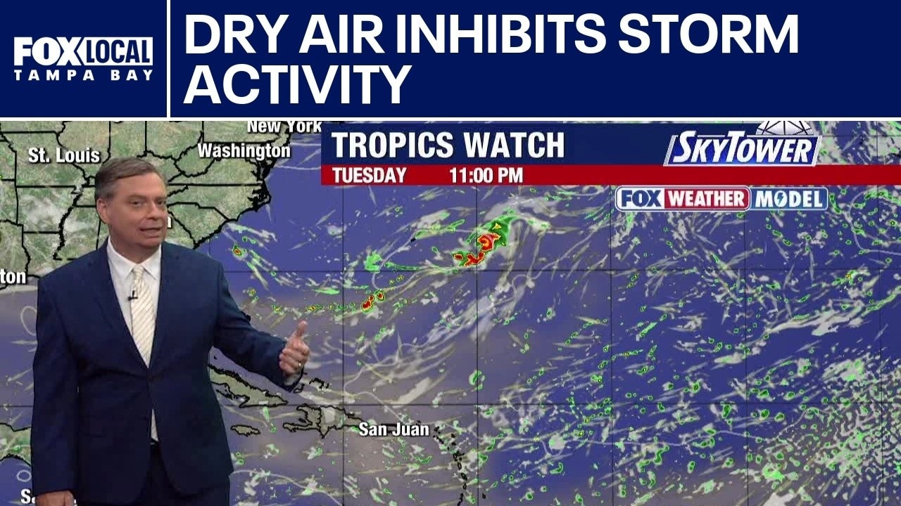
Dry air inhibits storm activity
FOX 13 Meteorologist Jim Weber is watching the Saharan dust that is moving over Central and northern Florida. He said it is inhibiting storm activity over the state and the Gulf. Weber said no tropical formation is expected over the next seven days. He added that the dry air is expected to continue moving through the tropics through July 21, but there will be more moisture toward the end of the month.
FOX 13 Meteorologist Jim Weber is watching the Saharan dust that is moving over Central and northern Florida. He said it is inhibiting storm activity over the state and the Gulf. Weber said no tropical formation is expected over the next seven days. He added that the dry air is expected to continue moving through the tropics through July 21, but there will be more moisture toward the end of the month.
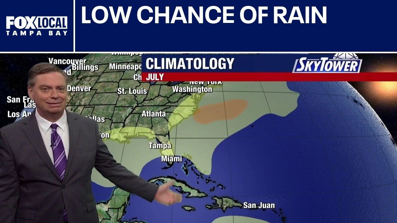
Florida rain chances fall
FOX 13 Meteorologist Jim Weber continues to watch Saharan dust that’s making its over Florida. He says the dust is causing rain chances to drop through the weekend, which means heat will build. The dust also prohibits tropical waves from developing.
FOX 13 Meteorologist Jim Weber continues to watch Saharan dust that’s making its over Florida. He says the dust is causing rain chances to drop through the weekend, which means heat will build. The dust also prohibits tropical waves from developing.
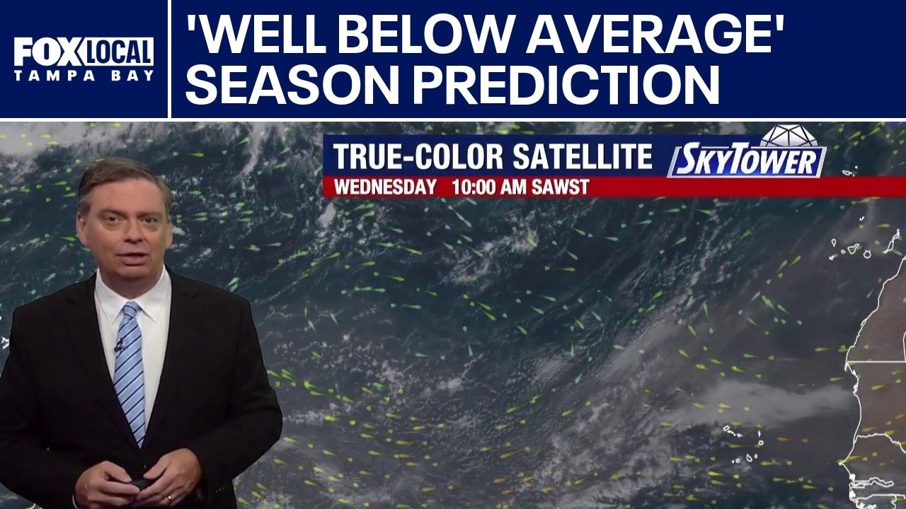
Strong El Nino predicted at peak of hurricane season
FOX 13 Meteorologist Jim Weber says Colorado State University released an update to its 2026 hurricane predictions and now calls for a ‘well below average’ season with nine named storms and four hurricanes and one major hurricane due to El Nino. Weber says large plumes of Saharan dust are working their way from Africa, across the Atlantic and toward Florida. He says while the dust will lower the rain chances, it will increase the temperatures and keep the tropics quiet.
FOX 13 Meteorologist Jim Weber says Colorado State University released an update to its 2026 hurricane predictions and now calls for a ‘well below average’ season with nine named storms and four hurricanes and one major hurricane due to El Nino. Weber says large plumes of Saharan dust are working their way from Africa, across the Atlantic and toward Florida. He says while the dust will lower the rain chances, it will increase the temperatures and keep the tropics quiet.
Saharan dust limits tropical development
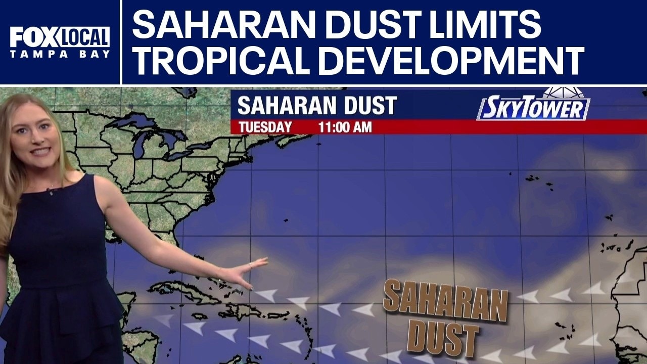
FOX 13 Meteorologist Valerie Mills is watching plumes of Saharan dust that are making their way from Africa to Florida. She said Floridians will notice some of the dust later this week. She said that Saharan air layer is limiting tropical development and is about 50% drier than the typical tropical air masses that are over the Atlantic waters, which are starting to warm up.
FOX 13 Meteorologist Valerie Mills is watching plumes of Saharan dust that are making their way from Africa to Florida. She said Floridians will notice some of the dust later this week. She said that Saharan air layer is limiting tropical development and is about 50% drier than the typical tropical air masses that are over the Atlantic waters, which are starting to warm up.
Saharan dust sets sights on Florida
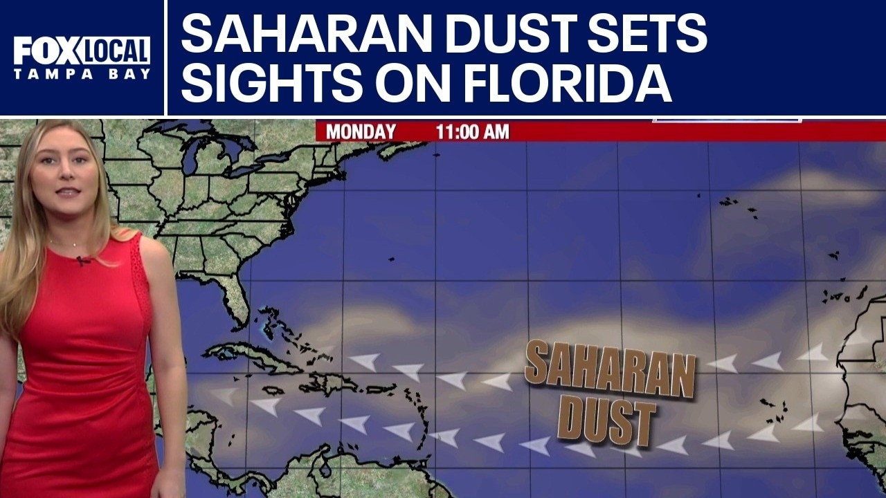
FOX 13 Meteorologist Valerie Mills is keeping an eye on the tropics and does not expect any formation within the next seven days. She says Saharan dust will be making its way through the Caribbean, into the Gulf and arriving in the state of Florida toward the end of the week.
FOX 13 Meteorologist Valerie Mills is keeping an eye on the tropics and does not expect any formation within the next seven days. She says Saharan dust will be making its way through the Caribbean, into the Gulf and arriving in the state of Florida toward the end of the week.
No sign of tropical formations soon
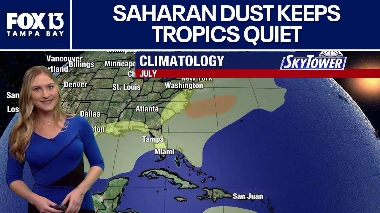
FOX 13 meteorologist Valerie Mills says the large plumes of Saharan dust are keeping any tropical formations at bay. She says within the next few days some of the Saharan dust will make its way to Florida. Mills says no tropical formations are expected in the next 7 days.
FOX 13 meteorologist Valerie Mills says the large plumes of Saharan dust are keeping any tropical formations at bay. She says within the next few days some of the Saharan dust will make its way to Florida. Mills says no tropical formations are expected in the next 7 days.
No tropical formations expected soon
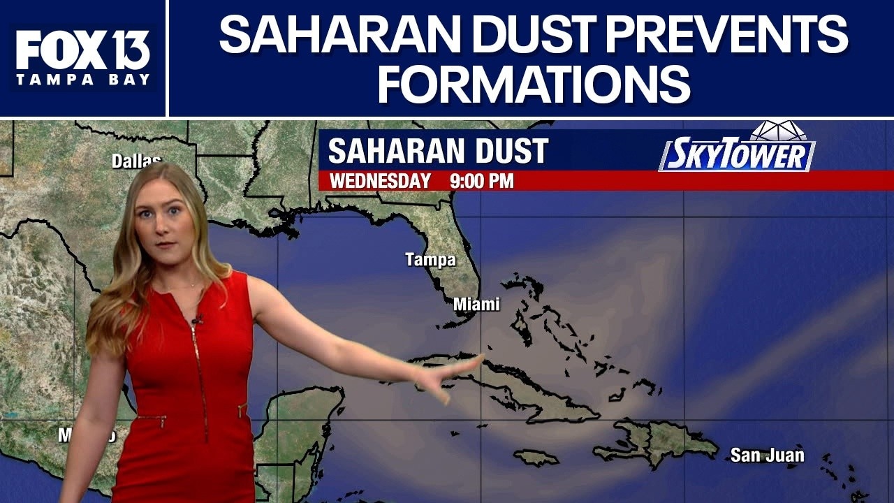
FOX 13 meteorologist Valerie Mills says she is not expecting any tropical formations for the next few days. She says large plumes of Saharan dust continue to blow through the Atlantic basin. Mills says the plumes are covering parts of the Caribbean Islands and will travel through the Caribbean and into the Gulf within the next couple of days.
FOX 13 meteorologist Valerie Mills says she is not expecting any tropical formations for the next few days. She says large plumes of Saharan dust continue to blow through the Atlantic basin. Mills says the plumes are covering parts of the Caribbean Islands and will travel through the Caribbean and into the Gulf within the next couple of days.
Today's tropical weather forecast
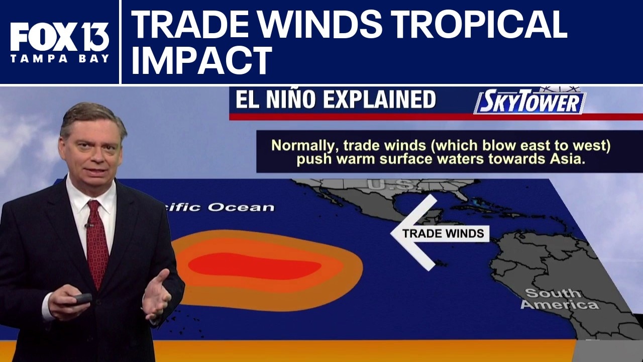
As El Niño continues to develop in the Pacific, FOX 13 Meteorologist Jim Weber explains how weaker trade winds impact our weather patterns. For our area in Florida, these winds create a much stronger subtropical jet stream, which creates a stronger wind shear across the Caribbean and Atlantic during the tropical season. There are no major signs of tropical developments as it remains quiet through the weekend and into next week.
As El Niño continues to develop in the Pacific, FOX 13 Meteorologist Jim Weber explains how weaker trade winds impact our weather patterns. For our area in Florida, these winds create a much stronger subtropical jet stream, which creates a stronger wind shear across the Caribbean and Atlantic during the tropical season. There are no major signs of tropical developments as it remains quiet through the weekend and into next week.
Today's tropical weather forecast
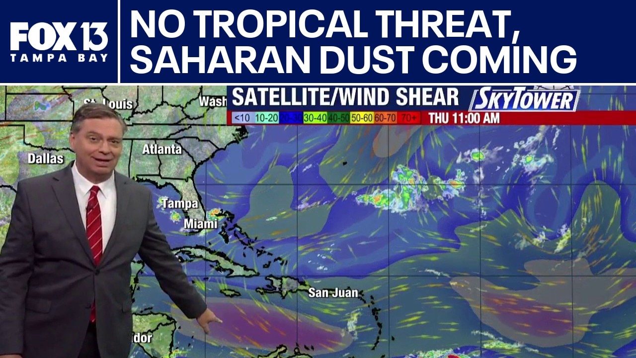
FOX 13 Meteorologist Jim Weber says a load of Saharan dust is being pushed across the Atlantic, with some of it making its way toward Florida and the southeastern portion of the U.S. within the next few days into next week. Strong wind shear is being monitored across the Caribbean as conditions are unfavorable. No tropical developments are expected within the next seven days.
FOX 13 Meteorologist Jim Weber says a load of Saharan dust is being pushed across the Atlantic, with some of it making its way toward Florida and the southeastern portion of the U.S. within the next few days into next week. Strong wind shear is being monitored across the Caribbean as conditions are unfavorable. No tropical developments are expected within the next seven days.
July starts quietly in tropics
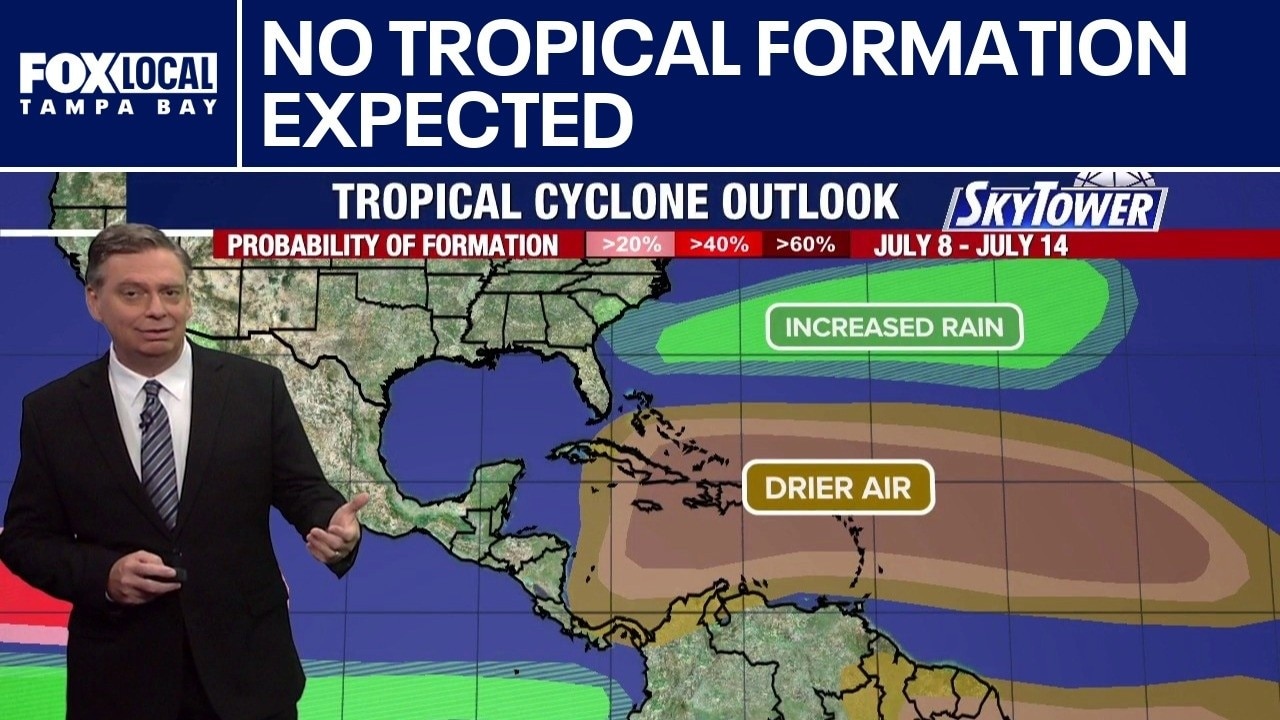
FOX 13 Meteorologist Jim Weber is keeping an eye on the tropics as we enter the second month of the 2026 hurricane season. He said no tropical formation is expected over the next seven days. He says the lack of activity is due to a plume of Saharan dust works its way west, cooler water temperatures in the Atlantic and a strong wind shear across the Caribbean.
FOX 13 Meteorologist Jim Weber is keeping an eye on the tropics as we enter the second month of the 2026 hurricane season. He said no tropical formation is expected over the next seven days. He says the lack of activity is due to a plume of Saharan dust works its way west, cooler water temperatures in the Atlantic and a strong wind shear across the Caribbean.
Disturbance off Florida being monitored
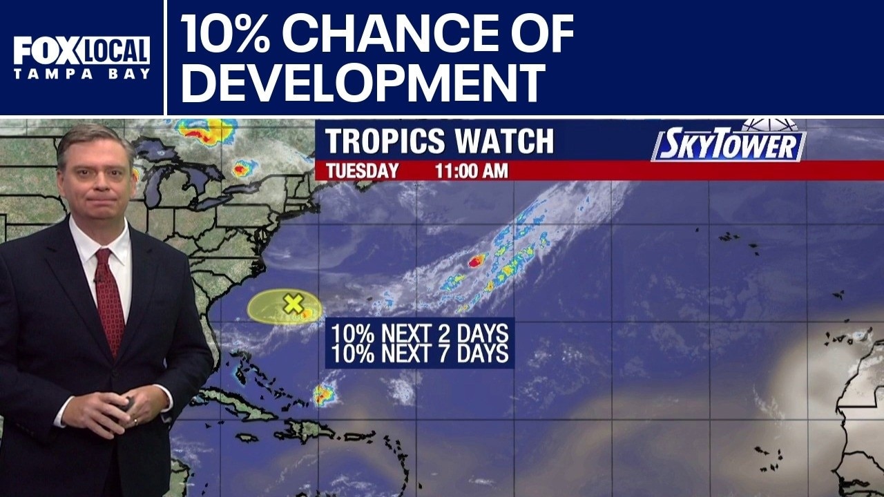
FOX 13 Meteorologist Jim Weber is still watching an area of the Carolina coast that has a 10% chance of developing over the next week. He says the computer models show it meandering off the east coast and does not show significant signs of it doing much of anything at all. Otherwise, Weber says the tropics are quiet.
FOX 13 Meteorologist Jim Weber is still watching an area of the Carolina coast that has a 10% chance of developing over the next week. He says the computer models show it meandering off the east coast and does not show significant signs of it doing much of anything at all. Otherwise, Weber says the tropics are quiet.
Disturbance off Florida not likely to develop
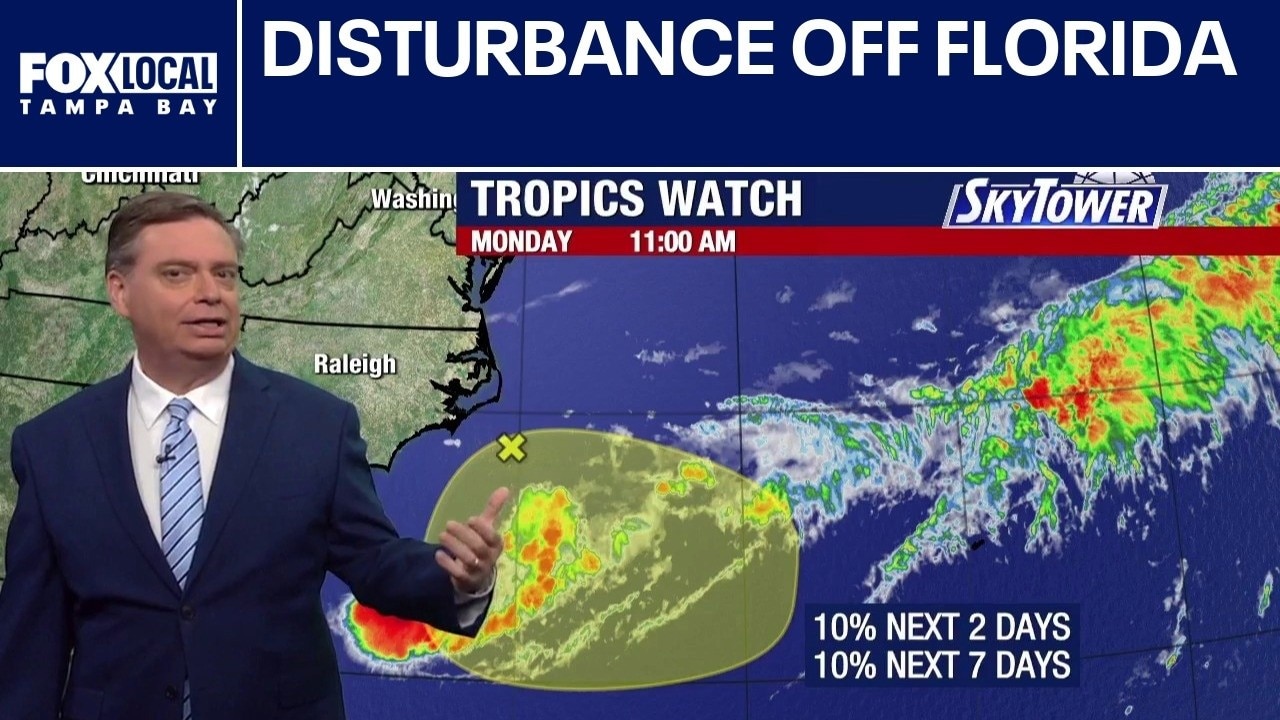
FOX 13 Meteorologist Jim Weber is watching an area off the east coast of Florida that has a 10% chance of developing this week. He says it is not an organized system. Instead, it is a part of a frontal system that has an area of low pressure above it. Weber said it is in an area that doesn’t look conducive for development, but he will be keeping tabs on it because sometimes the frontal system and the area of low pressure can swirl around each other. Weber said a lot of computer models show it dissipating by Thursday or Friday.
FOX 13 Meteorologist Jim Weber is watching an area off the east coast of Florida that has a 10% chance of developing this week. He says it is not an organized system. Instead, it is a part of a frontal system that has an area of low pressure above it. Weber said it is in an area that doesn’t look conducive for development, but he will be keeping tabs on it because sometimes the frontal system and the area of low pressure can swirl around each other. Weber said a lot of computer models show it dissipating by Thursday or Friday.
Southeast coast tropical threat remains low
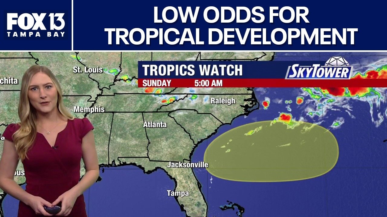
FOX 13 meteorologist Valerie Mills says there are low odds for tropical development off the east coast. She says if the area of development becomes more organized within the next week, there is a chance for a small tropical system to form, but it will most likely only bring additional rain to the southeast.
FOX 13 meteorologist Valerie Mills says there are low odds for tropical development off the east coast. She says if the area of development becomes more organized within the next week, there is a chance for a small tropical system to form, but it will most likely only bring additional rain to the southeast.
Watching new area for tropical development
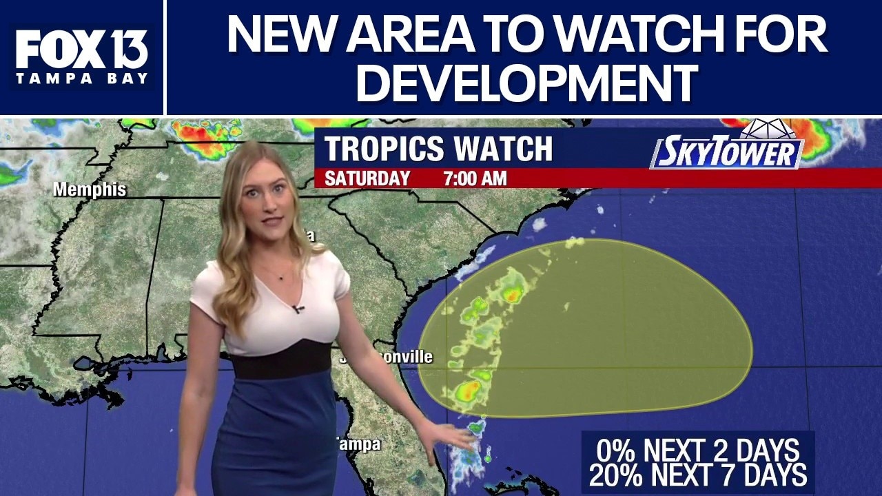
FOX 13 meteorologist Valerie Mills says there is another zone to keep an eye on for tropical developments. She says nothing is expected in the next two days. Mills says dryer air and Saharan dust will continue to limit the chances of anything developing.
FOX 13 meteorologist Valerie Mills says there is another zone to keep an eye on for tropical developments. She says nothing is expected in the next two days. Mills says dryer air and Saharan dust will continue to limit the chances of anything developing.
Florida’s rain chances may increase with front
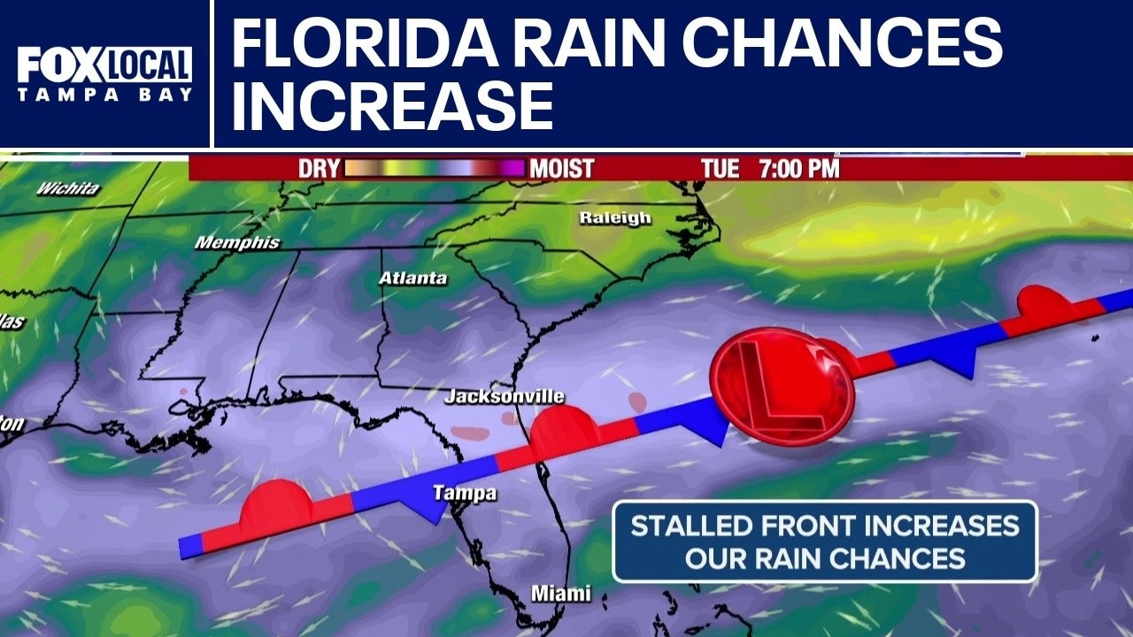
FOX 13 Meteorologist Nash Rhodes is watching a front that is expected to stall out over Florida and increase rain chances. He said it’s important to keep an eye out for the possibility of a low-pressure system to develop off the east coast of Florida on the remnants of that front, but he says it does not seem likely that will happen. If it does, it would be early next week. Otherwise, Rhodes says there are no signs of life in the topics thanks to a plume of Saharan dust making its way over the Atlantic. He said there is no tropical formation expected over the next seven days.
FOX 13 Meteorologist Nash Rhodes is watching a front that is expected to stall out over Florida and increase rain chances. He said it’s important to keep an eye out for the possibility of a low-pressure system to develop off the east coast of Florida on the remnants of that front, but he says it does not seem likely that will happen. If it does, it would be early next week. Otherwise, Rhodes says there are no signs of life in the topics thanks to a plume of Saharan dust making its way over the Atlantic. He said there is no tropical formation expected over the next seven days.