

East Coast Nor'easter to send dry air to Florida as Tropical Storm Fay fades
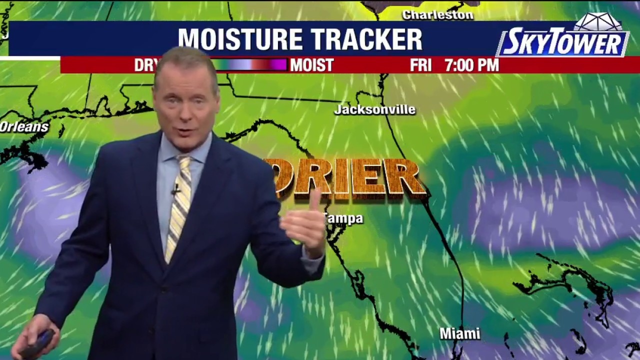
Tampa weather | Tuesday morning forecast
FOX 13 Meteorologist Dave Osterberg says Tuesday will be hot and humid with scattered afternoon storms. The high temperature will be 90 degrees.
TAMPA, Fla. - Tropical Storm Fay continues to weaken thousands of miles out at sea as forecasters monitor two other Atlantic systems that could bring East Coast weather impacts and push dry air into Florida.
Atlantic Tropical Weather Update
What we know:
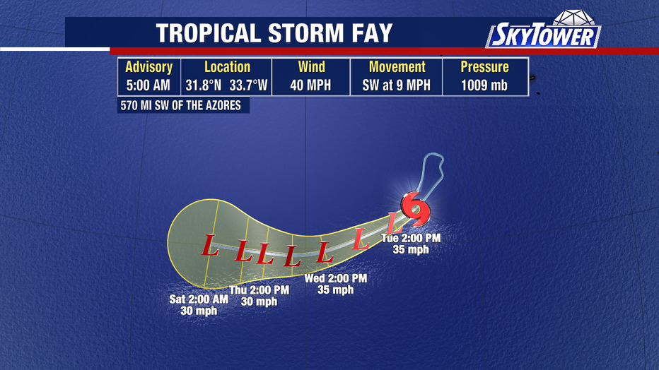
Tropical Storm Fay is barely hanging on Tuesday morning, with maximum sustained winds dropping to 40 mph thousands of miles away from the U.S. coast.
Forecasters say the weak storm remains a non-factor and will likely linger for just a couple more days before fading away.
Meanwhile, a new area of disturbed weather preparing to move off the African coast has a 30% chance for tropical development. Even if that system strengthens, current tracks show it will likely steer north toward the Cape Verde islands.
East Coast Nor'easter Impact
What we don't know:
Meteorologists are closely watching a third area off the U.S. East Coast, where a low-pressure system is developing.
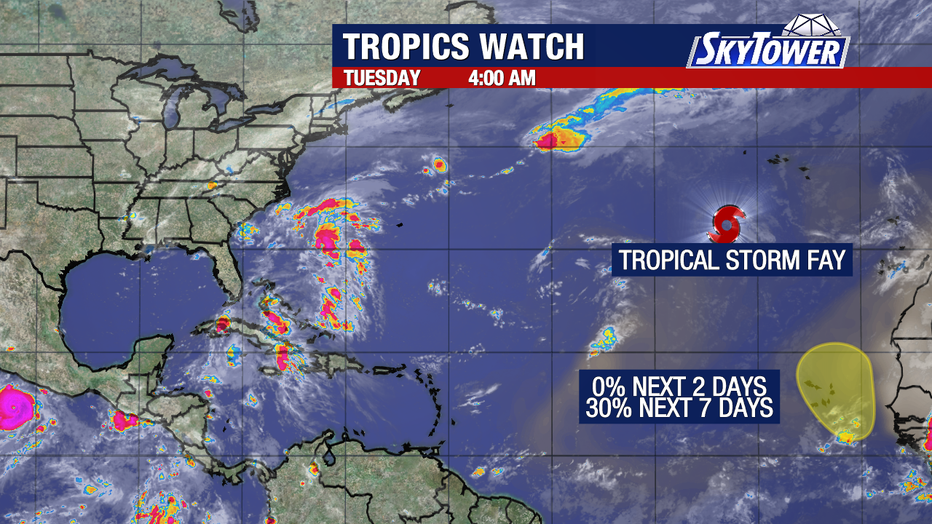
This Nor'easter is expected to impact New England and the broader Northeast region.
While the exact intensity of the coastal system remains uncertain, the atmospheric setup will act as a force to drive much drier air all the way south into Florida.
Hurricane Polo
What we know:
The strongest storm on the planet right now is in the Eastern Pacific, Hurricane Polo. One of the most rapid intensifications we have seen has brought this to near category 5 status. After peaking perhaps as strong as 175mph, it will move NW.
The Source: The information in this story was gathered from official weather broadcast reports detailing current Atlantic basin radar and forecast model data.