

Calm in the Atlantic
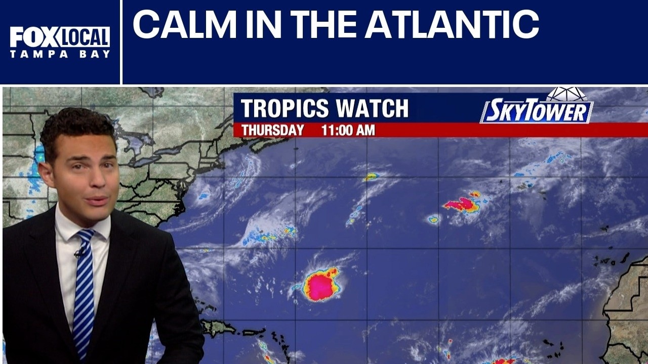
FOX 13 Meteorologist Nash Rhodes explains how we have had no hurricanes this season. No tropical formation is expected within the next 7 days.
FOX 13 Meteorologist Nash Rhodes explains how we have had no hurricanes this season. No tropical formation is expected within the next 7 days.
Today's tropical weather forecast
FOX 13 Meteorologist Jim Weber explains how systems have dissipated. There is no tropical formation expected over the Atlantic Basin in the next 7 days.
FOX 13 Meteorologist Jim Weber explains how systems have dissipated. There is no tropical formation expected over the Atlantic Basin in the next 7 days.
Wind shear, dry air to weaken Atlantic systems
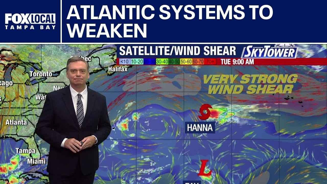
FOX 13 Meteorologist Jim Weber is watching Tropical Storm Hanna and Fay, which is now a tropical depression, in the Atlantic. He said dry air and wind shear will weaken the systems. In the Pacific, Hurricane Polo is making its way over into Mexico before pushing up into desert Southwest. Hurricane Nolo is passing to the west of Hawaii while Tropical Storm Rachel is off the coast of Mexico and TD 19E has recently formed.
FOX 13 Meteorologist Jim Weber is watching Tropical Storm Hanna and Fay, which is now a tropical depression, in the Atlantic. He said dry air and wind shear will weaken the systems. In the Pacific, Hurricane Polo is making its way over into Mexico before pushing up into desert Southwest. Hurricane Nolo is passing to the west of Hawaii while Tropical Storm Rachel is off the coast of Mexico and TD 19E has recently formed.
Today's tropical weather forecast
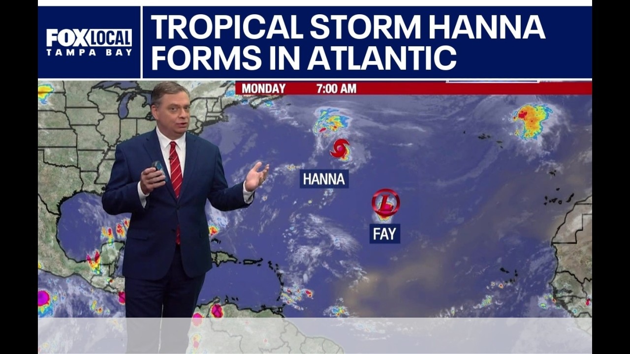
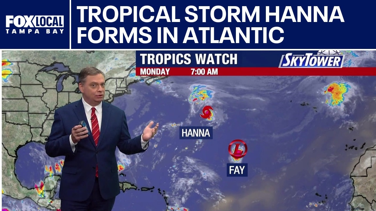
FOX 13 Meteorologist Jim Weber is keeping an eye on Tropical Storm Hannah, which formed on Monday morning and Fay, which is a Tropical Depression. Weber said Hanna will likely stay a tropical storm for several days before being downgraded due to cooler waters and wind shear. Weber does not expect either system to impact Florida. Meanwhile, Hurricanes Nolo and Polo as well as Tropical Storm Rachel are swirling in the Pacific.
FOX 13 Meteorologist Jim Weber is keeping an eye on Tropical Storm Hannah, which formed on Monday morning and Fay, which is a Tropical Depression. Weber said Hanna will likely stay a tropical storm for several days before being downgraded due to cooler waters and wind shear. Weber does not expect either system to impact Florida. Meanwhile, Hurricanes Nolo and Polo as well as Tropical Storm Rachel are swirling in the Pacific.
Tropical Storm Hanna forms in Atlantic
FOX 13 Meteorologist Jim Weber is keeping an eye on Tropical Storm Hannah, which formed on Monday morning and Fay, which is a Tropical Depression. Weber said Hanna will likely stay a tropical storm for several days before being downgraded due to cooler waters and wind shear. Weber does not expect either system to impact Florida. Meanwhile, Hurricanes Nolo and Polo as well as Tropical Storm Rachel are swirling in the Pacific.
FOX 13 Meteorologist Jim Weber is keeping an eye on Tropical Storm Hannah, which formed on Monday morning and Fay, which is a Tropical Depression. Weber said Hanna will likely stay a tropical storm for several days before being downgraded due to cooler waters and wind shear. Weber does not expect either system to impact Florida. Meanwhile, Hurricanes Nolo and Polo as well as Tropical Storm Rachel are swirling in the Pacific.
Today's tropical weather forecast
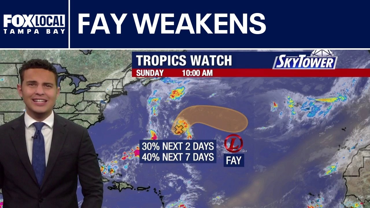
FOX 13 Meteorologist Nash Rhodes has been monitoring two areas in the middle of the Atlantic over the past few days. We are now keeping tabs on Tropical Depression Fay and a new disturbance just east of Bermuda. Fay has weakened from tropical storm status but is still packing sustained winds of about 35 mph as of the 11 a.m. advisory. The system is meandering south and is expected to fizzle out in the middle of the Atlantic by next week. An area of low pressure is also being monitored just east of Bermuda. It is slowly moving north and east. The National Hurricane Center gives the disturbance a 40% chance of development over the next seven days. Even if it forms, it does not appear likely to have any impact on the U.S. Hurricane Nolo has strengthened to a Category 4 storm, with heavy rain expected across the Hawaiian Islands. For now, things are looking fairly quiet across the Gulf and Caribbean.
FOX 13 Meteorologist Nash Rhodes has been monitoring two areas in the middle of the Atlantic over the past few days. We are now keeping tabs on Tropical Depression Fay and a new disturbance just east of Bermuda. Fay has weakened from tropical storm status but is still packing sustained winds of about 35 mph as of the 11 a.m. advisory. The system is meandering south and is expected to fizzle out in the middle of the Atlantic by next week. An area of low pressure is also being monitored just east of Bermuda. It is slowly moving north and east. The National Hurricane Center gives the disturbance a 40% chance of development over the next seven days. Even if it forms, it does not appear likely to have any impact on the U.S. Hurricane Nolo has strengthened to a Category 4 storm, with heavy rain expected across the Hawaiian Islands. For now, things are looking fairly quiet across the Gulf and Caribbean.
Today's tropical weather forecast
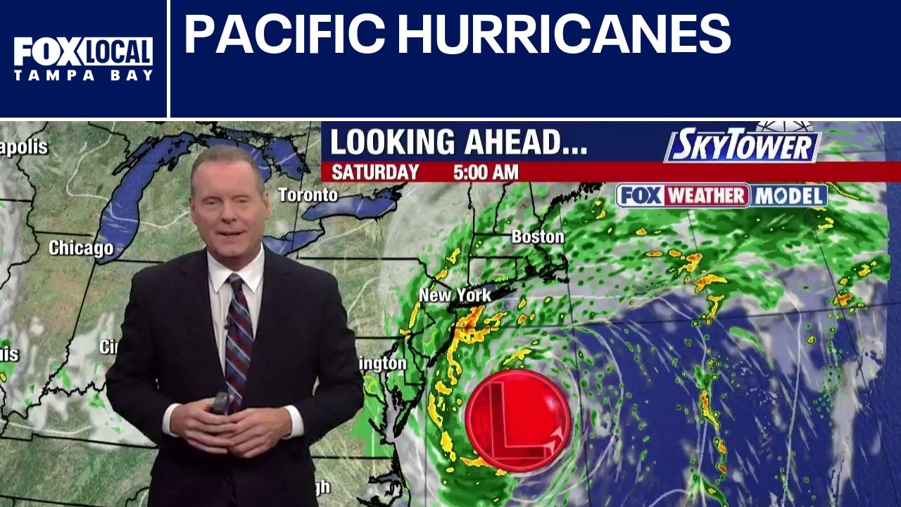
Tropical activity in the Pacific intensified Saturday morning as forecasters monitored three active hurricanes. Hurricane Nolo threatens Hawaii's Big Island with up to 12 inches of rain, escalating flood and mudslide risks on terrain still recovering from Hurricane Lala. Weakening Atlantic systems, including Tropical Depression Fay and Tropical Storm Gonzalo, continue to drift over open water without posing a threat to land.
Tropical activity in the Pacific intensified Saturday morning as forecasters monitored three active hurricanes. Hurricane Nolo threatens Hawaii's Big Island with up to 12 inches of rain, escalating flood and mudslide risks on terrain still recovering from Hurricane Lala. Weakening Atlantic systems, including Tropical Depression Fay and Tropical Storm Gonzalo, continue to drift over open water without posing a threat to land.
Today's tropical weather forecast
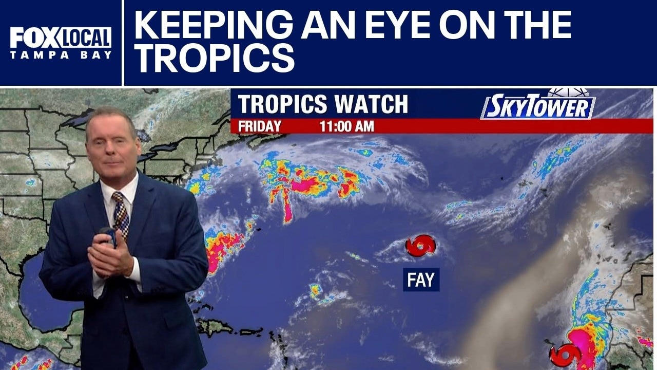
FOX 13 Meteorologist David Osterberg explains how multiple tropical storms and hurricanes are active across the Pacific and Atlantic oceans, bringing severe threats to Hawaii, Mexico, and the Cape Verde Islands while missing the continental United States.
FOX 13 Meteorologist David Osterberg explains how multiple tropical storms and hurricanes are active across the Pacific and Atlantic oceans, bringing severe threats to Hawaii, Mexico, and the Cape Verde Islands while missing the continental United States.
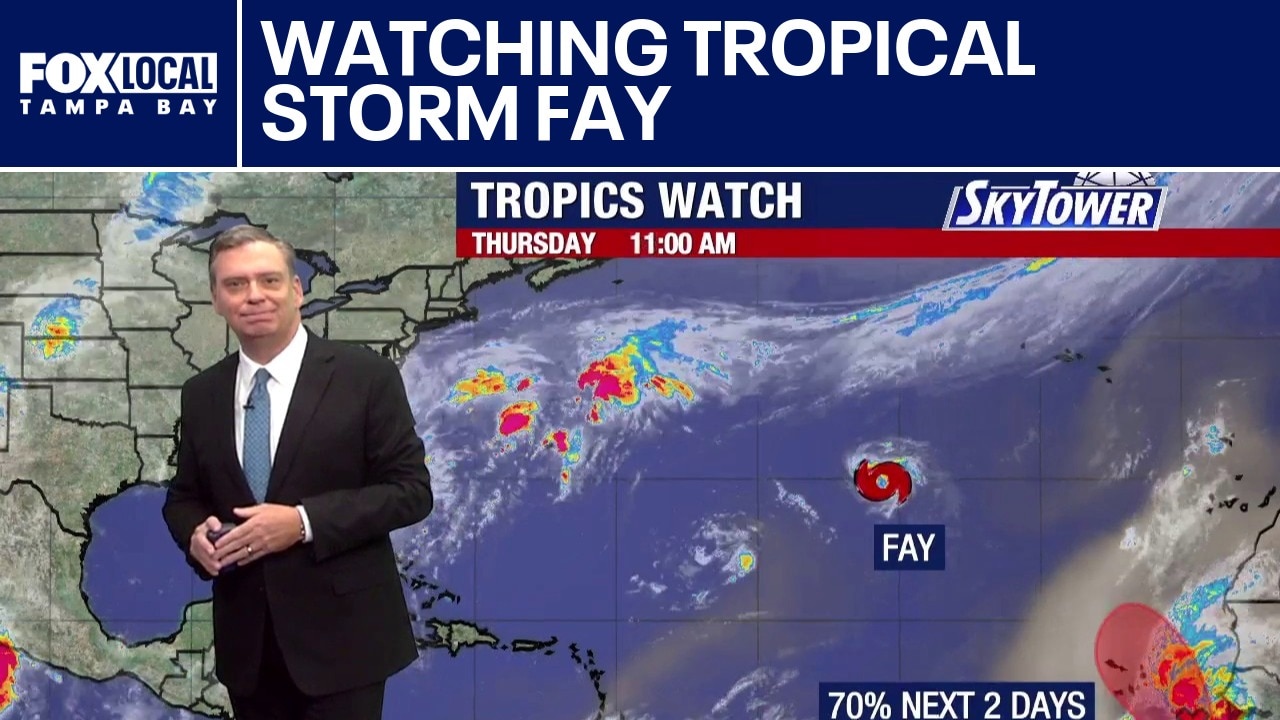
Watching Tropical Storm Fay
FOX 13 Meteorologist Jim Weber explains how Tropical Storm Fay continues to weaken thousands of miles out at sea as forecasters monitor two other Atlantic systems that could bring East Coast weather impacts and push dry air into Florida.
FOX 13 Meteorologist Jim Weber explains how Tropical Storm Fay continues to weaken thousands of miles out at sea as forecasters monitor two other Atlantic systems that could bring East Coast weather impacts and push dry air into Florida.
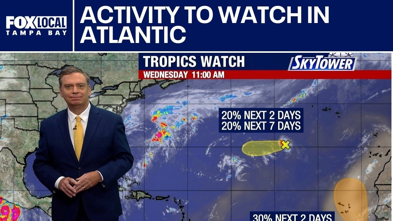
Activity to watch in the Atlantic
FOX 13 Meteorologist Jim Weber explains how Hurricane Polo is moving along Mexico's coastline as a powerful 155 mph storm, while a separate Atlantic system threatens to bring heavy rain, strong winds and severe coastal erosion to the Northeast this weekend.
FOX 13 Meteorologist Jim Weber explains how Hurricane Polo is moving along Mexico's coastline as a powerful 155 mph storm, while a separate Atlantic system threatens to bring heavy rain, strong winds and severe coastal erosion to the Northeast this weekend.
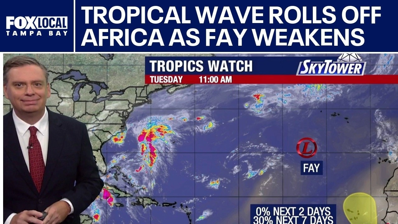
Tropical wave rolls off Africa as Fay weakens
FOX 13 Meteorologist Jim Weber is watching two areas in the Atlantic, including Fay, which is now a tropical depression and an area that is working its way off the coast of Africa and has a 30% chance of development. He said dry air and wind shear is keeping things quiet in the Atlantic. In the Pacific, Hurricane Polo is at Category 5 strength as it works its way out into the ocean.
FOX 13 Meteorologist Jim Weber is watching two areas in the Atlantic, including Fay, which is now a tropical depression and an area that is working its way off the coast of Africa and has a 30% chance of development. He said dry air and wind shear is keeping things quiet in the Atlantic. In the Pacific, Hurricane Polo is at Category 5 strength as it works its way out into the ocean.
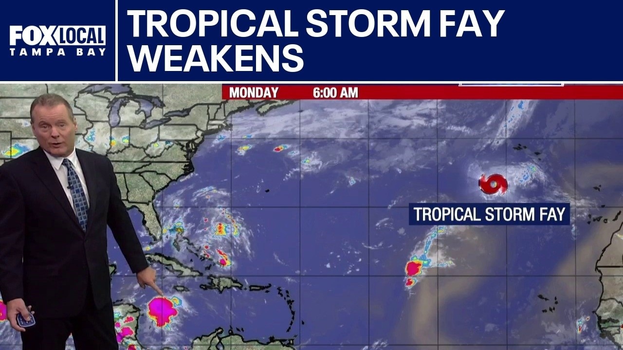
Tropical Storm Fay weakens
FOX 13 Meteorologist Dave Osterberg is keeping an eye on a quiet Atlantic hurricane season. He says there hasn’t been a hurricane in the last 325 days, but Tropical Storm Fay came close to upgrading to one on Sunday. He says El Nino is about to start cranking over the next month or so and a lot of wind shear that is normally over the Atlantic basin will be sitting over the Gulf. Osterberg does not anticipate any development over the next several days.
FOX 13 Meteorologist Dave Osterberg is keeping an eye on a quiet Atlantic hurricane season. He says there hasn’t been a hurricane in the last 325 days, but Tropical Storm Fay came close to upgrading to one on Sunday. He says El Nino is about to start cranking over the next month or so and a lot of wind shear that is normally over the Atlantic basin will be sitting over the Gulf. Osterberg does not anticipate any development over the next several days.
Tropical Storm Fay forms in Atlantic
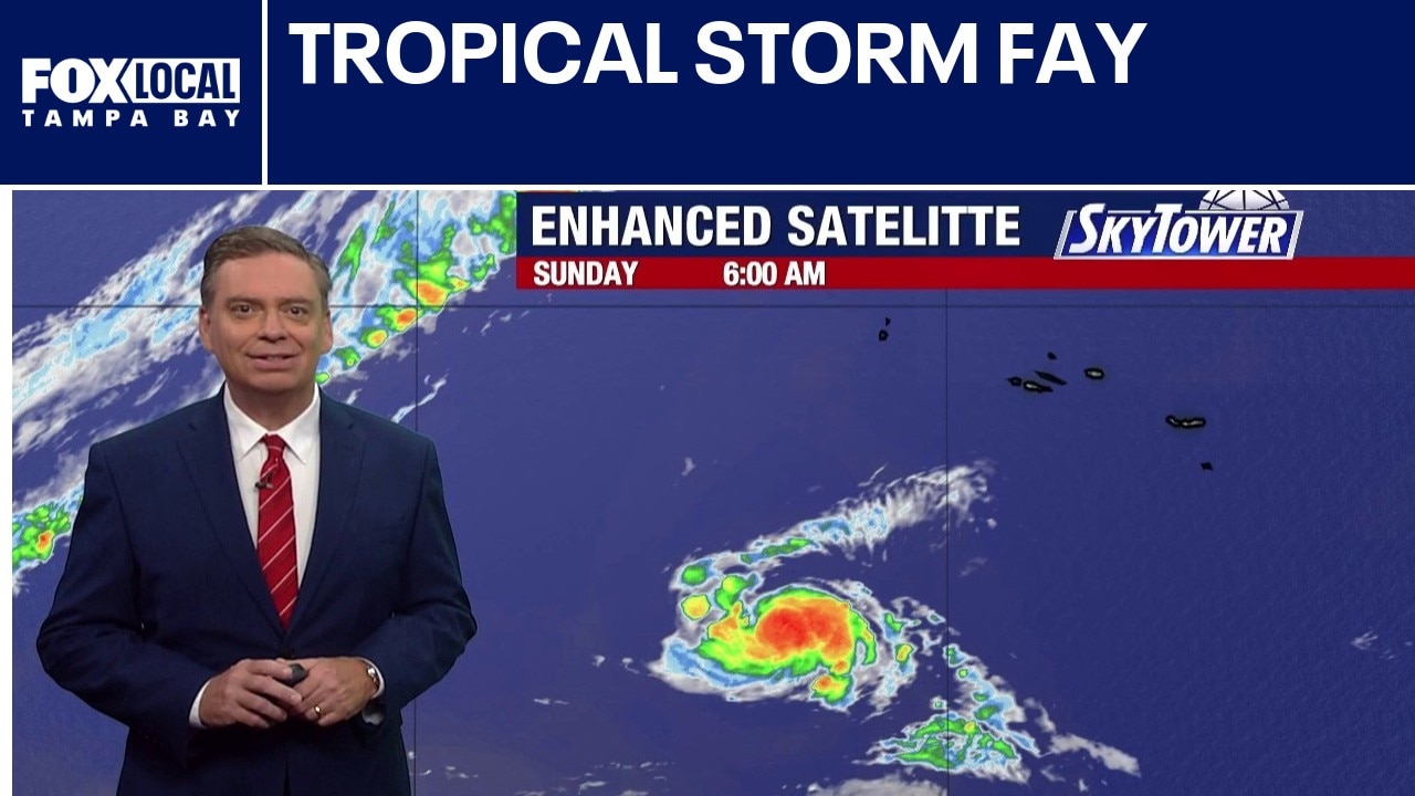
Tropical Storm Fay has formed in the northeastern Atlantic as the sixth named storm of the 2026 hurricane season. Forecasters expect dry air and wind shear to weaken the compact storm, preventing it from reaching hurricane strength. Located more than 2,700 miles away near the Azores, the system poses no threat to Florida or the U.S. mainland.
Tropical Storm Fay has formed in the northeastern Atlantic as the sixth named storm of the 2026 hurricane season. Forecasters expect dry air and wind shear to weaken the compact storm, preventing it from reaching hurricane strength. Located more than 2,700 miles away near the Azores, the system poses no threat to Florida or the U.S. mainland.
Atlantic Tropical Depression
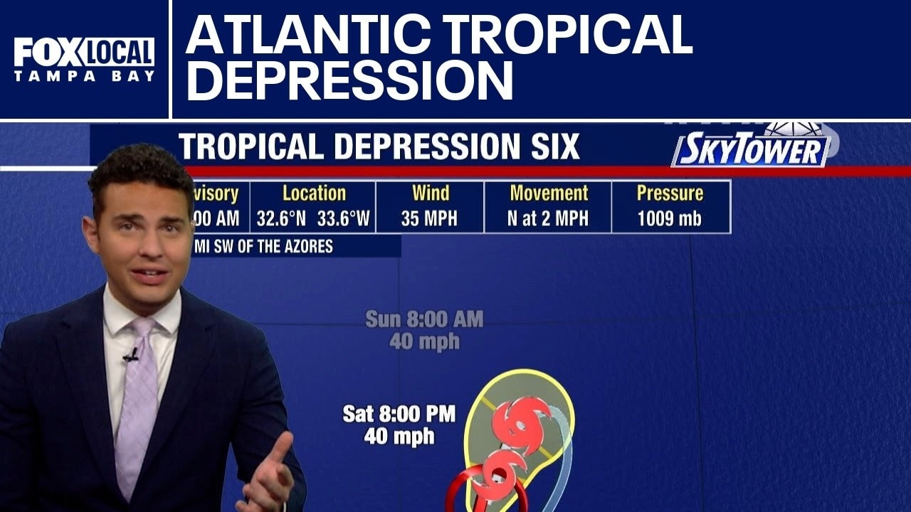
FOX 13 Meteorologist Nash Rhodes explains that Tropical Depression Six organized rapidly in the eastern Atlantic a few hundred miles southwest of the Azores. Maximum sustained winds are near 35 mph as the system moves slowly over open water.
FOX 13 Meteorologist Nash Rhodes explains that Tropical Depression Six organized rapidly in the eastern Atlantic a few hundred miles southwest of the Azores. Maximum sustained winds are near 35 mph as the system moves slowly over open water.
Invest 99L gains strength
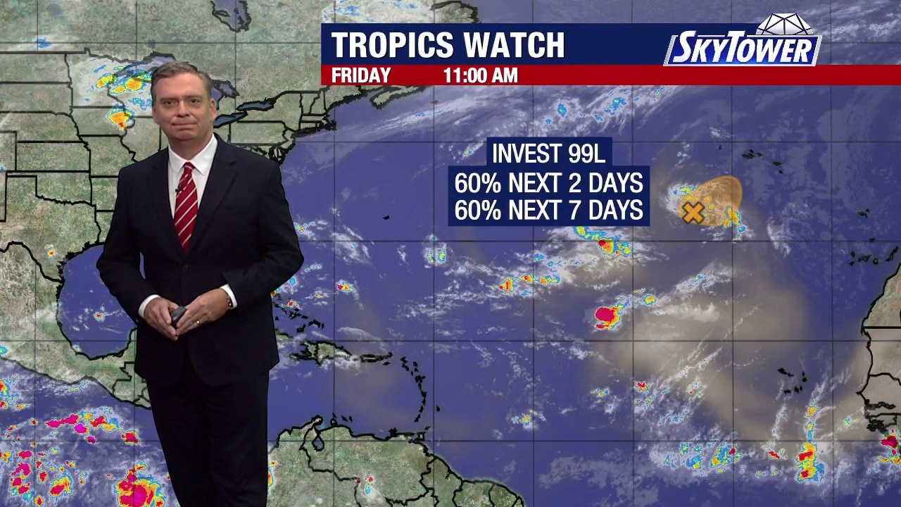
FOX 13 Meteorologist Jim Weber says Invest 99L is showing improved organization in the Atlantic, with a 60% chance of developing into a tropical cyclone within the next two days.
FOX 13 Meteorologist Jim Weber says Invest 99L is showing improved organization in the Atlantic, with a 60% chance of developing into a tropical cyclone within the next two days.
Eyes on the Atlantic
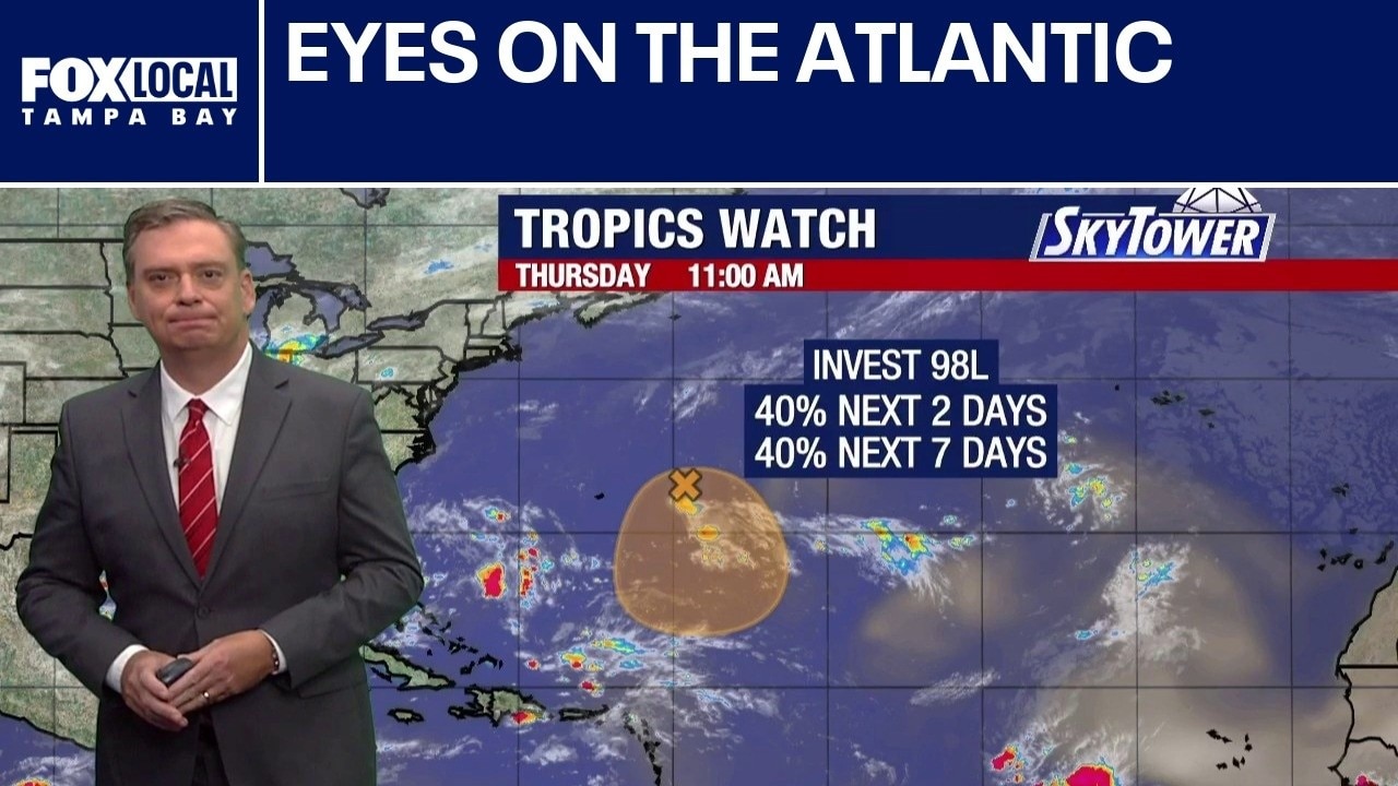
FOX 13 Meteorologist Jim Weber explains how 98L is the little disturbance that could. It almost fell apart, but now has a 40% chance of development.
FOX 13 Meteorologist Jim Weber explains how 98L is the little disturbance that could. It almost fell apart, but now has a 40% chance of development.
Quiet in the Atlantic
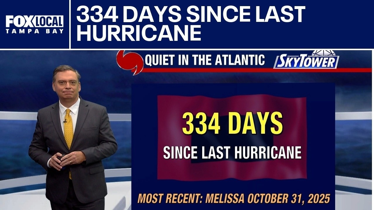
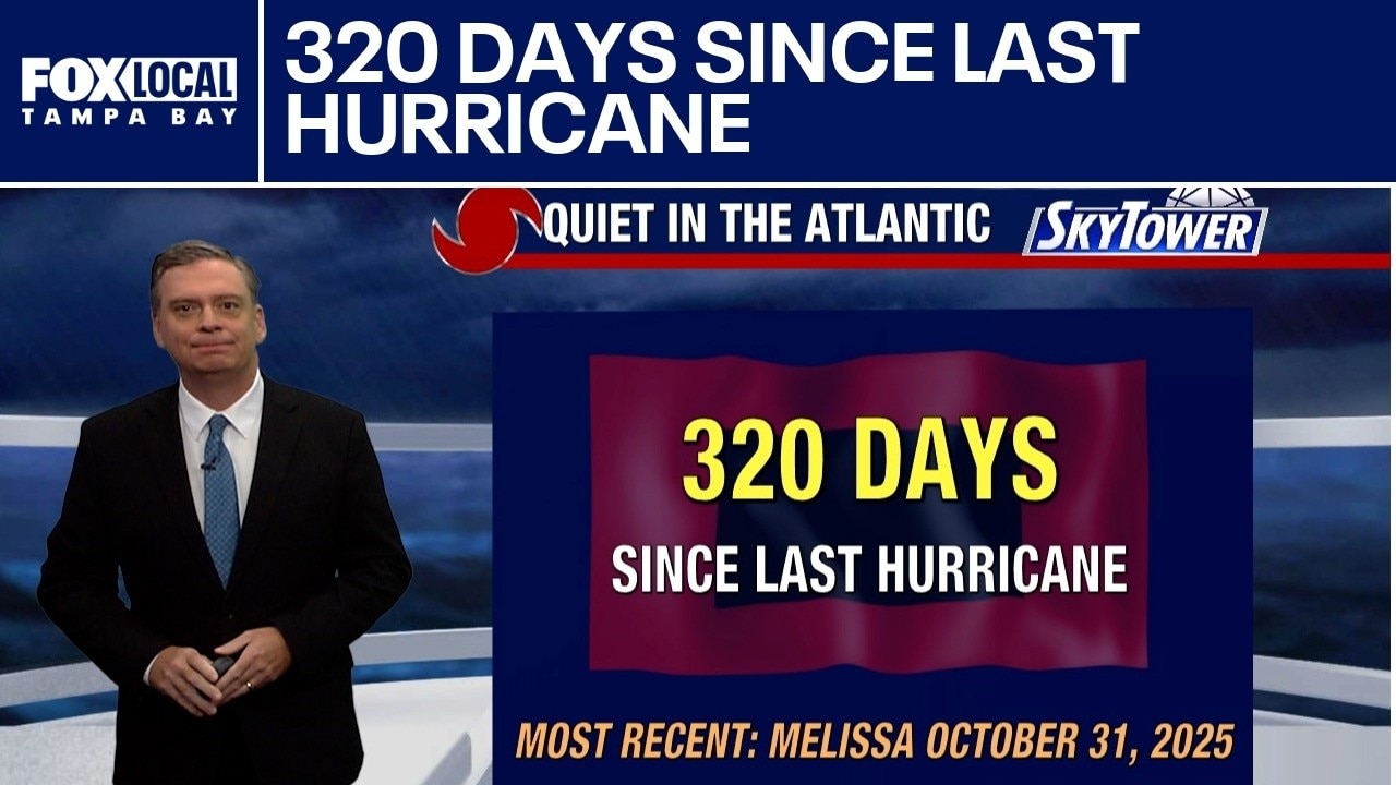
FOX 13 Meteorologist Jim Weber explains that it has been 320 days since we have had a hurricane in the tropical Atlantic Basin. The most recent being Hurricane Melissa on Oct. 31st, 2025.
FOX 13 Meteorologist Jim Weber explains that it has been 320 days since we have had a hurricane in the tropical Atlantic Basin. The most recent being Hurricane Melissa on Oct. 31st, 2025.
Atlantic disturbance not expected to impact U.S.
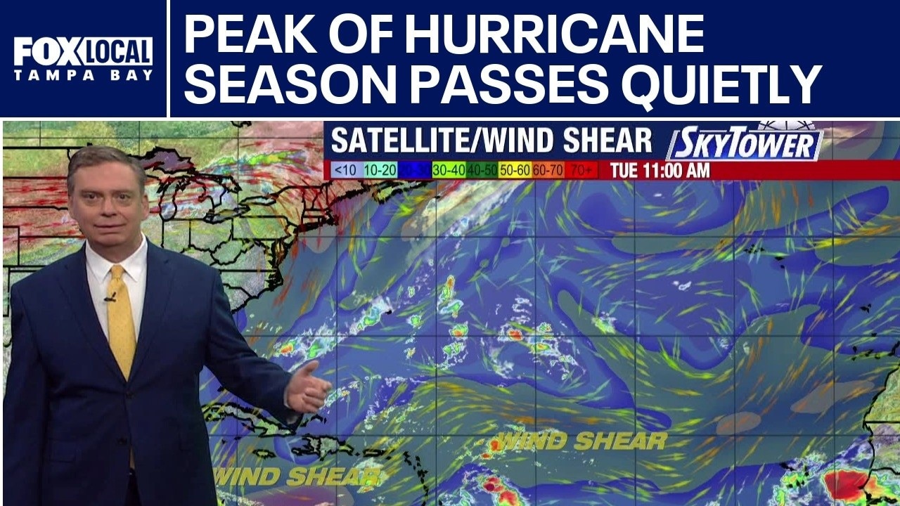
FOX 13 Meteorologist Jim Weber says we may be past the peak of hurricane season, and the tropics are still quiet. He says the areas that meteorologists typically focus on this time of year have a lot of wind shear. He noted that there is a little disturbance in the middle of the Atlantic that has a 40% chance of development and is drifting toward the west. Weber says that even if it does develop, it is not expected to impact the United States.
FOX 13 Meteorologist Jim Weber says we may be past the peak of hurricane season, and the tropics are still quiet. He says the areas that meteorologists typically focus on this time of year have a lot of wind shear. He noted that there is a little disturbance in the middle of the Atlantic that has a 40% chance of development and is drifting toward the west. Weber says that even if it does develop, it is not expected to impact the United States.
Atlantic disturbance unlikely to threaten Florida
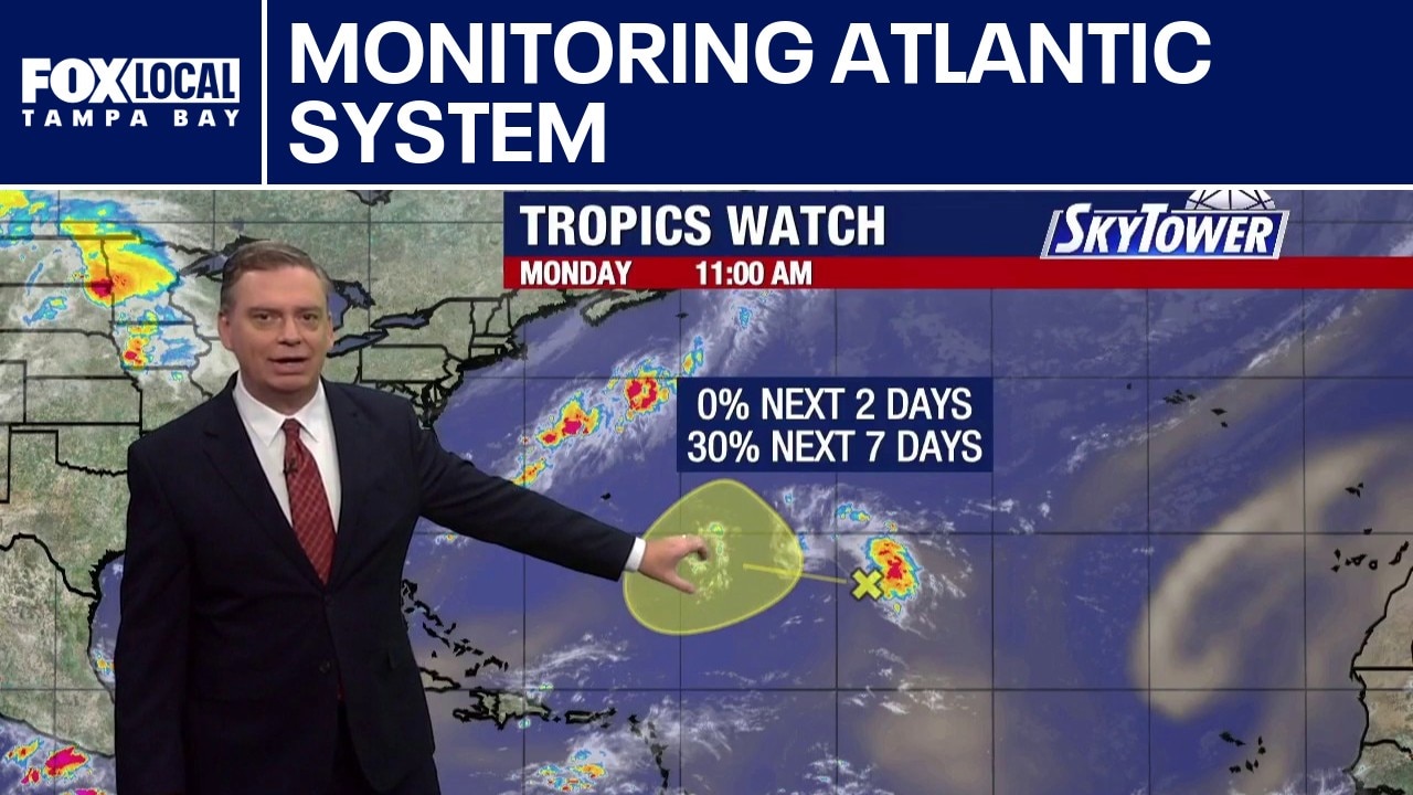
As another week begins, FOX 13 Meteorologist Jim Weber is tracking one small area of interest in the Atlantic Basin, but it is not expected to pose a threat. An area of storms in the middle of the Atlantic has a 30% chance of development, according to the National Hurricane Center. Even if the system were to develop, its location in the middle of the Atlantic means it would eventually be picked up by the prevailing weather pattern and pushed out.
As another week begins, FOX 13 Meteorologist Jim Weber is tracking one small area of interest in the Atlantic Basin, but it is not expected to pose a threat. An area of storms in the middle of the Atlantic has a 30% chance of development, according to the National Hurricane Center. Even if the system were to develop, its location in the middle of the Atlantic means it would eventually be picked up by the prevailing weather pattern and pushed out.
Saharan dust, wind shear limit Atlantic
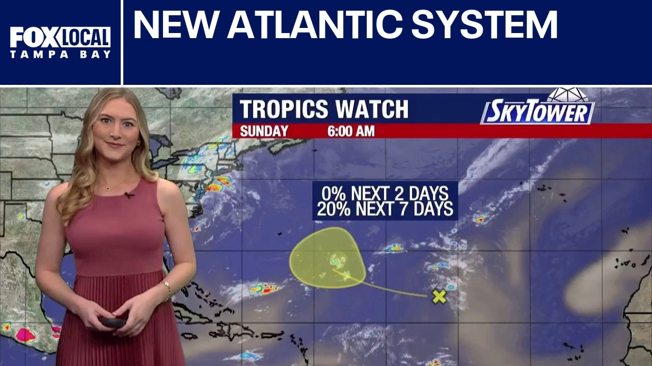
FOX 13 Meteorologist Valerie Mills is tracking an area of interest identified by the National Hurricane Center. A trough of low pressure in the Atlantic has a 20% chance of development over the next seven days. Wind shear and Saharan dust continue to be issues for tropical waves trying to develop. Gradual development could be possible next week if the system finds a pocket of favorable conditions away from the Saharan dust and wind shear. The next name on the Atlantic hurricane season list is Fay.
FOX 13 Meteorologist Valerie Mills is tracking an area of interest identified by the National Hurricane Center. A trough of low pressure in the Atlantic has a 20% chance of development over the next seven days. Wind shear and Saharan dust continue to be issues for tropical waves trying to develop. Gradual development could be possible next week if the system finds a pocket of favorable conditions away from the Saharan dust and wind shear. The next name on the Atlantic hurricane season list is Fay.