

Saharan dust piles up in Caribbean
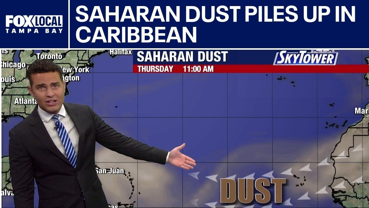
FOX 13 Meteorologist Nash Rhodes is keeping an eye on a quiet tropics. He said a substantial plume of Saharan dust working across the Atlantic is making it difficult for anything to form at the moment. Rhodes noted that the sea surface temperature is at or below normal, which is not ideal for tropical development. He said there are no tropical formations expected over the next week.
FOX 13 Meteorologist Nash Rhodes is keeping an eye on a quiet tropics. He said a substantial plume of Saharan dust working across the Atlantic is making it difficult for anything to form at the moment. Rhodes noted that the sea surface temperature is at or below normal, which is not ideal for tropical development. He said there are no tropical formations expected over the next week.
Today's tropical weather forecast
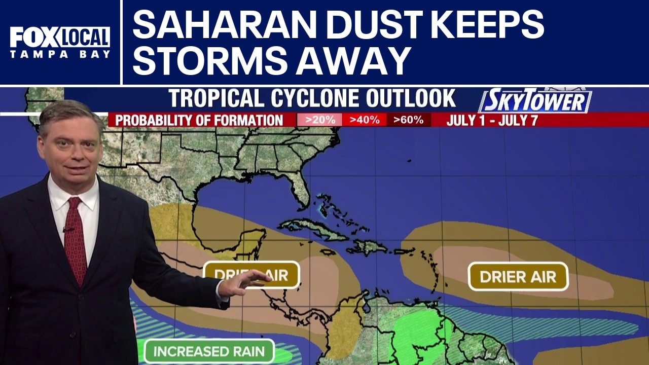
Saharan dust is continuing to work its way across the Atlantic, with a big push of the dust moving toward the Caribbean and the Gulf. Nothing is happening in the tropics over the next five to seven days due to this Saharan dust push. Rain chances will likely drop as we head into the weekend.
Saharan dust is continuing to work its way across the Atlantic, with a big push of the dust moving toward the Caribbean and the Gulf. Nothing is happening in the tropics over the next five to seven days due to this Saharan dust push. Rain chances will likely drop as we head into the weekend.
Saharan dust is good news for tropical development
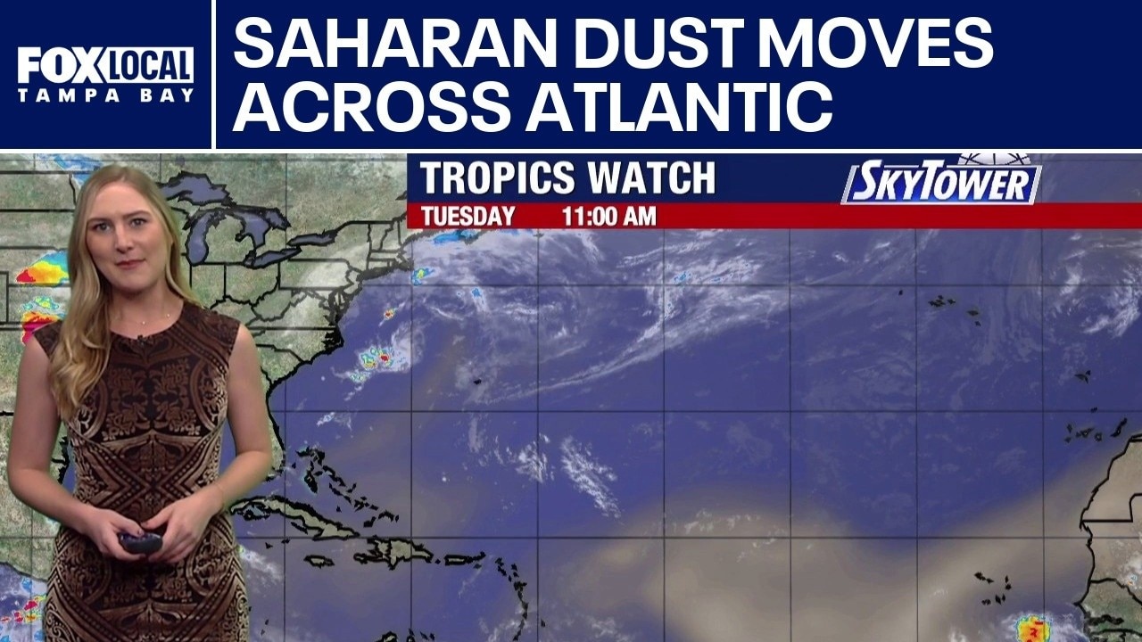
FOX 13 Meteorologist Valerie Mills is watching plumes of Saharan dust coming off the west coast of Africa that is keeping the tropics quiet. She does not expect anything to form over the next seven days. She says the drier air in the Atlantic and Caribbean will dominate over the next week, while a couple of areas in the Eastern Pacific have a high chance of development as they move to the west-northwest.
FOX 13 Meteorologist Valerie Mills is watching plumes of Saharan dust coming off the west coast of Africa that is keeping the tropics quiet. She does not expect anything to form over the next seven days. She says the drier air in the Atlantic and Caribbean will dominate over the next week, while a couple of areas in the Eastern Pacific have a high chance of development as they move to the west-northwest.
Dry air keeps tropics quiet
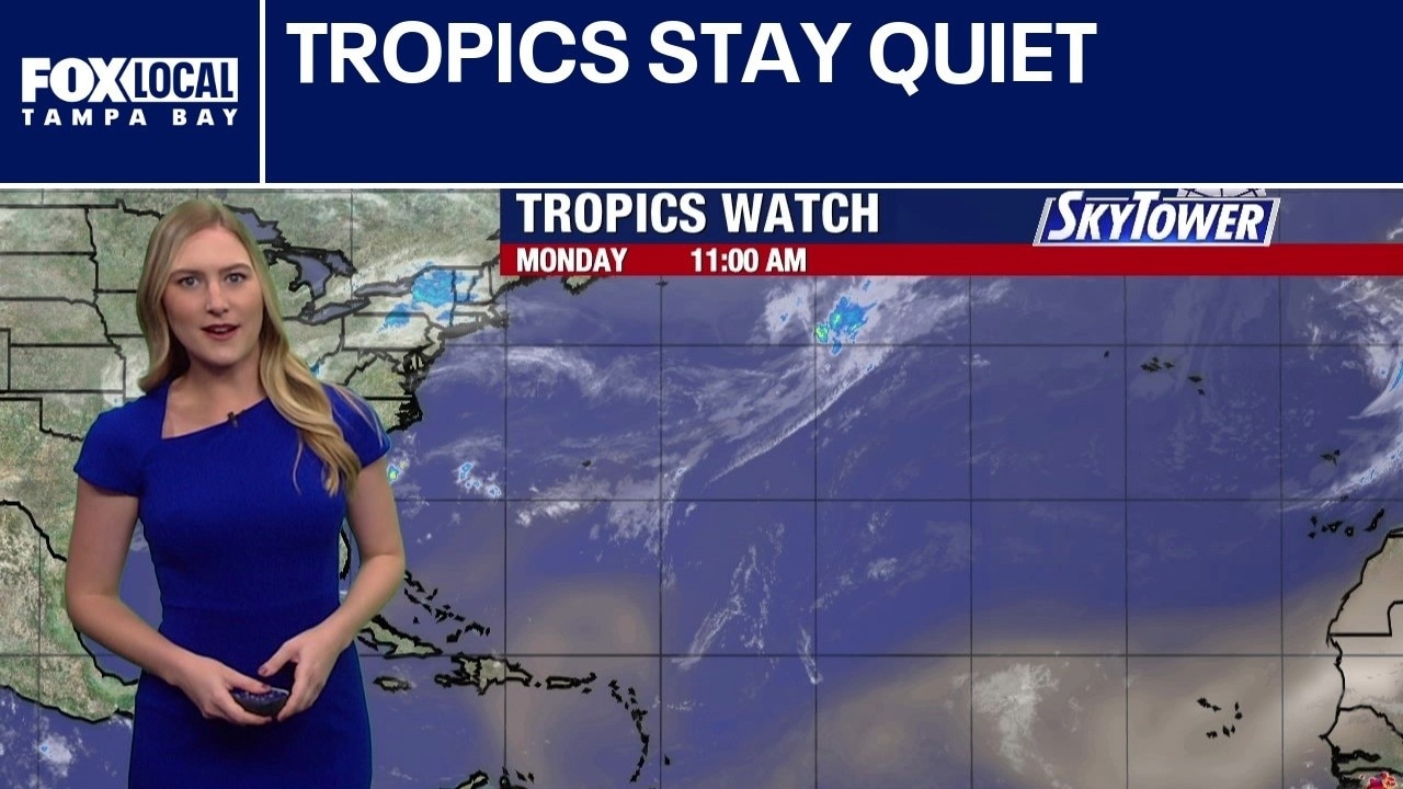
FOX 13 Meteorologist Valerie Mills says all is quiet in the tropics and should remain that way for the next week. She added that Saharan dust plumes are working their way across the Atlantic from Africa and into the Gulf over the next few days. That drier air helps keep storms at bay.
FOX 13 Meteorologist Valerie Mills says all is quiet in the tropics and should remain that way for the next week. She added that Saharan dust plumes are working their way across the Atlantic from Africa and into the Gulf over the next few days. That drier air helps keep storms at bay.
Atlantic basin continues to stay quiet
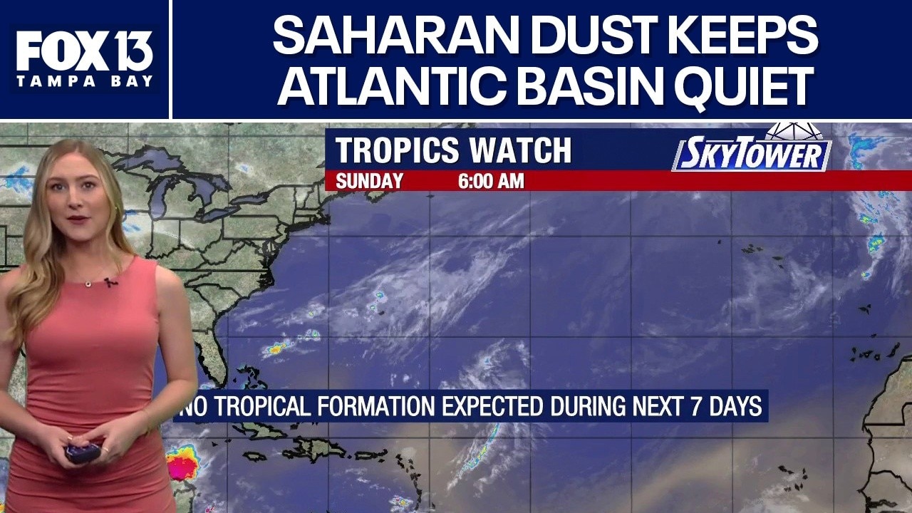
FOX 13 meteorologist Valerie Mills says there are no tropical formations that she’s currently tracking. Mills says Saharan dust plumes continue to travel from the coast of West Africa moving through the Caribbean and into the Gulf, which keeps moisture levels down. She said no tropical formations are expected in the next seven days.
FOX 13 meteorologist Valerie Mills says there are no tropical formations that she’s currently tracking. Mills says Saharan dust plumes continue to travel from the coast of West Africa moving through the Caribbean and into the Gulf, which keeps moisture levels down. She said no tropical formations are expected in the next seven days.
Atlantic quiet as Saharan dust drifts into Gulf
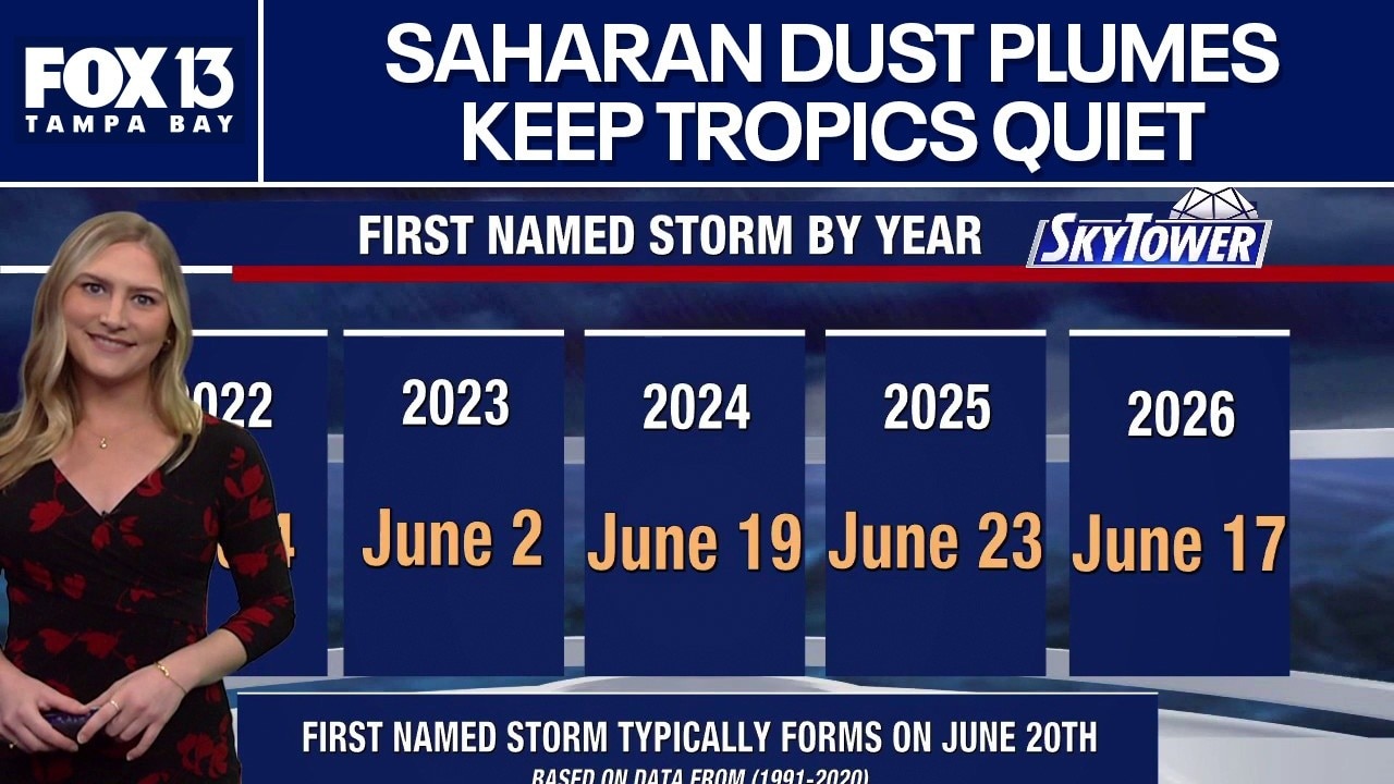
FOX 13 Meteorologist Valerie Mills says the Atlantic basin is staying quiet as large plumes of Saharan dust continue to travel off the coast of Africa and into the Gulf. She says the Saharan Dust helps to keep the area dry and prevents tropical formations.
FOX 13 Meteorologist Valerie Mills says the Atlantic basin is staying quiet as large plumes of Saharan dust continue to travel off the coast of Africa and into the Gulf. She says the Saharan Dust helps to keep the area dry and prevents tropical formations.
Arthur remnants may become subtropical system
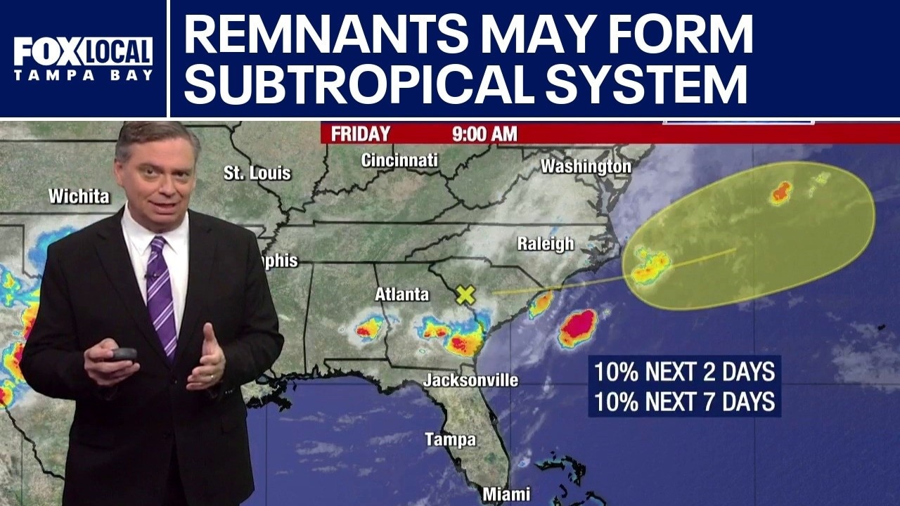
FOX 13 Meteorologist Jim Weber is still watching the remnants of what was Tropical Storm Arthur, which is still bringing rain to Georgia and Alabama. He says it’s important to watch it over the next several days because it’s going to work its way over the Atlantic and some models have it redeveloping as possibly a subtropical system. If it does redevelop, it is expected to head out to sea.
FOX 13 Meteorologist Jim Weber is still watching the remnants of what was Tropical Storm Arthur, which is still bringing rain to Georgia and Alabama. He says it’s important to watch it over the next several days because it’s going to work its way over the Atlantic and some models have it redeveloping as possibly a subtropical system. If it does redevelop, it is expected to head out to sea.
Arthur may regenerate over Atlantic
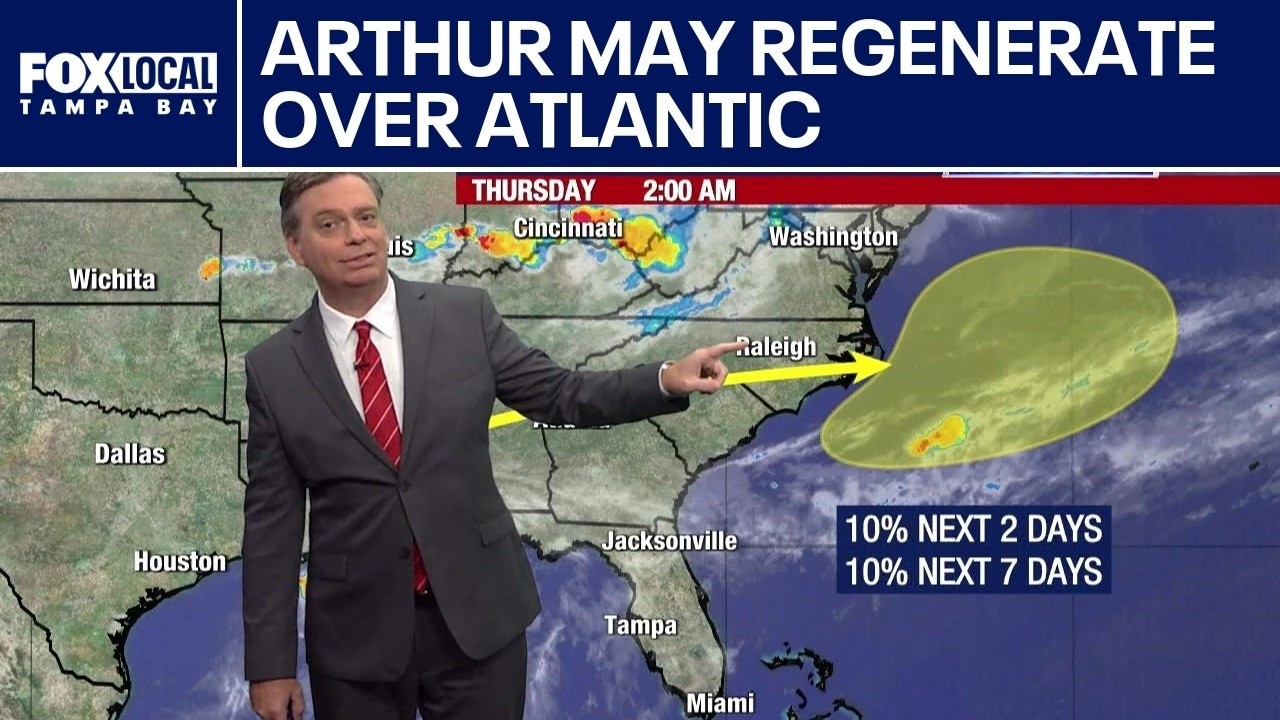
FOX 13 Meteorologist Jim Weber is watching the remnants of what was Tropical Storm Arthur, which is causing catastrophic flooding in some areas. Weber said the storm dumped 21 inches of rain in some areas. He noted that the system is expected to work its way over Georgia and the Carolinas and then move out over the Atlantic. At that point, several computer models show the system trying to regenerate when it gets over the ocean. Regardless of whether it regenerates, Weber said it will move out to sea and will not impact Florida.
FOX 13 Meteorologist Jim Weber is watching the remnants of what was Tropical Storm Arthur, which is causing catastrophic flooding in some areas. Weber said the storm dumped 21 inches of rain in some areas. He noted that the system is expected to work its way over Georgia and the Carolinas and then move out over the Atlantic. At that point, several computer models show the system trying to regenerate when it gets over the ocean. Regardless of whether it regenerates, Weber said it will move out to sea and will not impact Florida.
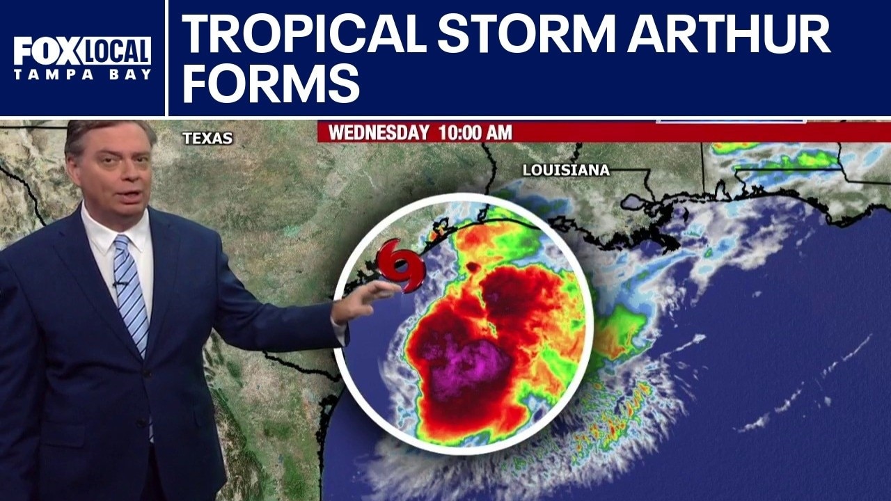
Tropical Storm Arthur develops in Gulf
Tropical Storm Arthur, the first named storm of the 2026 hurricane season, formed Wednesday morning in the Gulf. FOX 13 Meteorologist Jim Weber says it is traveling along the Texas coast and notes that there is not a lot going on near the center of the storm. As it works its way northeast, Weber says the system will weaken as it makes its way back on shore. Tropical Storm Arthur had winds of 40 miles per hour as of 11 a.m., but he noted that the biggest threat with Arthur is the rain. The storm is expected to drop five to ten inches of rain with some locations getting 20 inches of rain. He added that it will impact a good portion of the Southeastern portion of the United States, including the Florida panhandle.
Tropical Storm Arthur, the first named storm of the 2026 hurricane season, formed Wednesday morning in the Gulf. FOX 13 Meteorologist Jim Weber says it is traveling along the Texas coast and notes that there is not a lot going on near the center of the storm. As it works its way northeast, Weber says the system will weaken as it makes its way back on shore. Tropical Storm Arthur had winds of 40 miles per hour as of 11 a.m., but he noted that the biggest threat with Arthur is the rain. The storm is expected to drop five to ten inches of rain with some locations getting 20 inches of rain. He added that it will impact a good portion of the Southeastern portion of the United States, including the Florida panhandle.
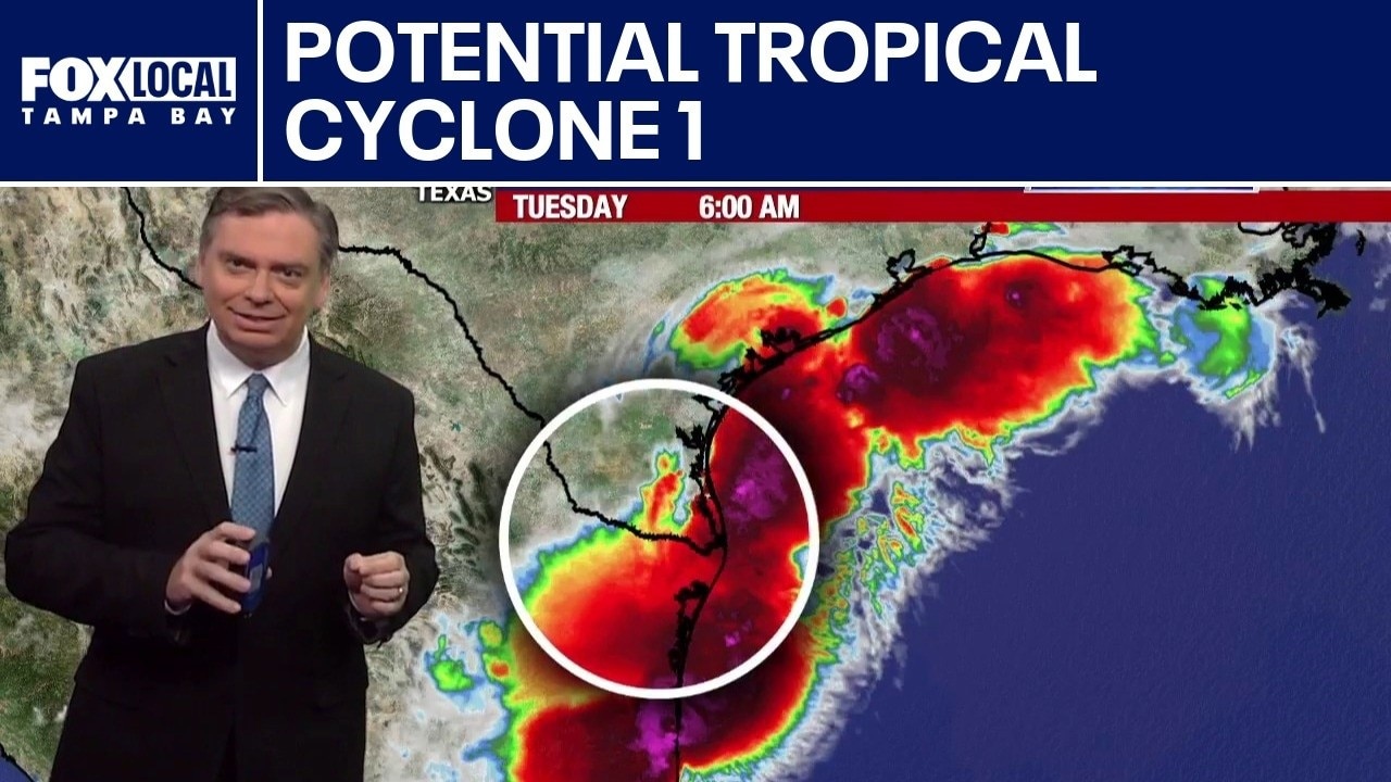
Potential tropical cyclone 1 develops
FOX 13 Meteorologist Jim Weber is keeping an eye on a potential tropical cyclone off the coast of Texas. It was designated as Invest 90 and was sitting over land Tuesday morning, but it is expected to work its way back out over water and could become a tropical storm on Tuesday night or Wednesday morning. Weber says it will likely work its way toward the northeast and make landfall between Texas and Louisiana. If it does become a named storm, it will be Arthur.
FOX 13 Meteorologist Jim Weber is keeping an eye on a potential tropical cyclone off the coast of Texas. It was designated as Invest 90 and was sitting over land Tuesday morning, but it is expected to work its way back out over water and could become a tropical storm on Tuesday night or Wednesday morning. Weber says it will likely work its way toward the northeast and make landfall between Texas and Louisiana. If it does become a named storm, it will be Arthur.
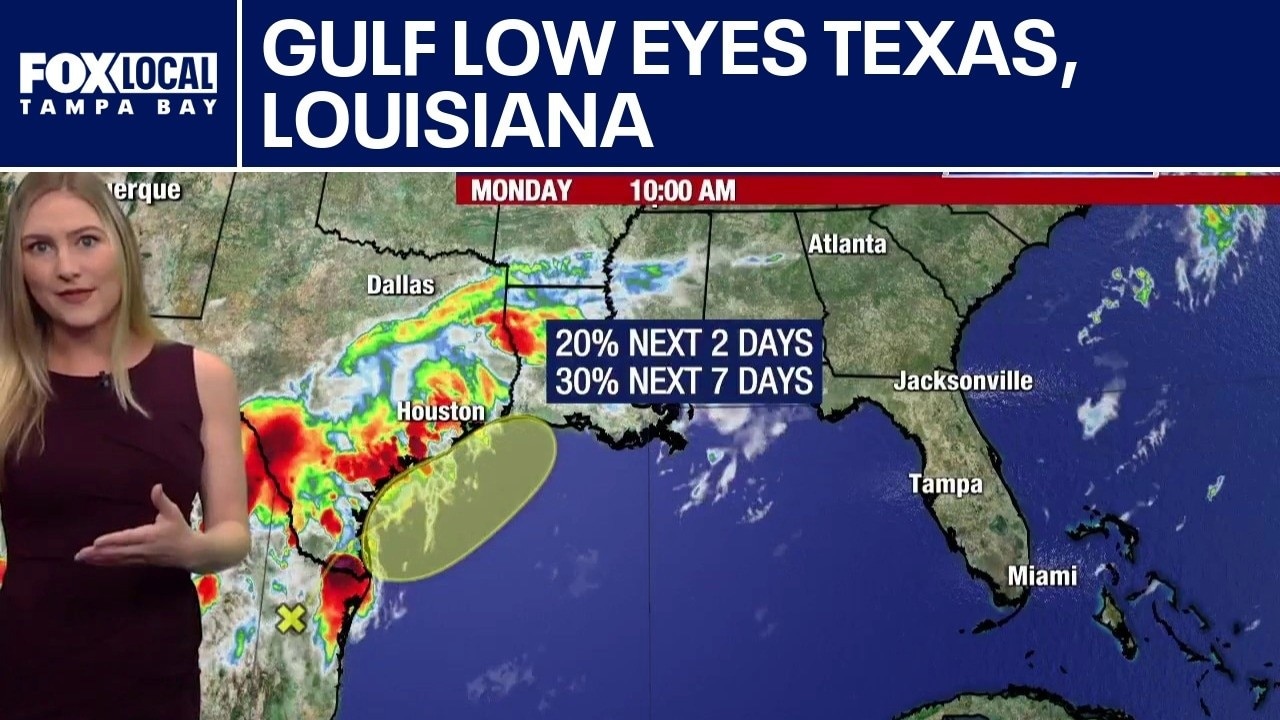
Florida stays dry as Gulf low eyes Texas, Louisiana
FOX 13 Meteorologist Valerie Mills is keeping tabs on an area of low pressure that is off the eastern coast of Mexico. It is feeding deep tropical moisture into Texas and Louisiana. She says as it merges into the Gulf, it may try to gain tropical characteristics but adds that there is a low chance of development for this tropical system with a 20% chance over the next two days and a 30% chance for the next week. The system is not expected to bring rain to Florida.
FOX 13 Meteorologist Valerie Mills is keeping tabs on an area of low pressure that is off the eastern coast of Mexico. It is feeding deep tropical moisture into Texas and Louisiana. She says as it merges into the Gulf, it may try to gain tropical characteristics but adds that there is a low chance of development for this tropical system with a 20% chance over the next two days and a 30% chance for the next week. The system is not expected to bring rain to Florida.
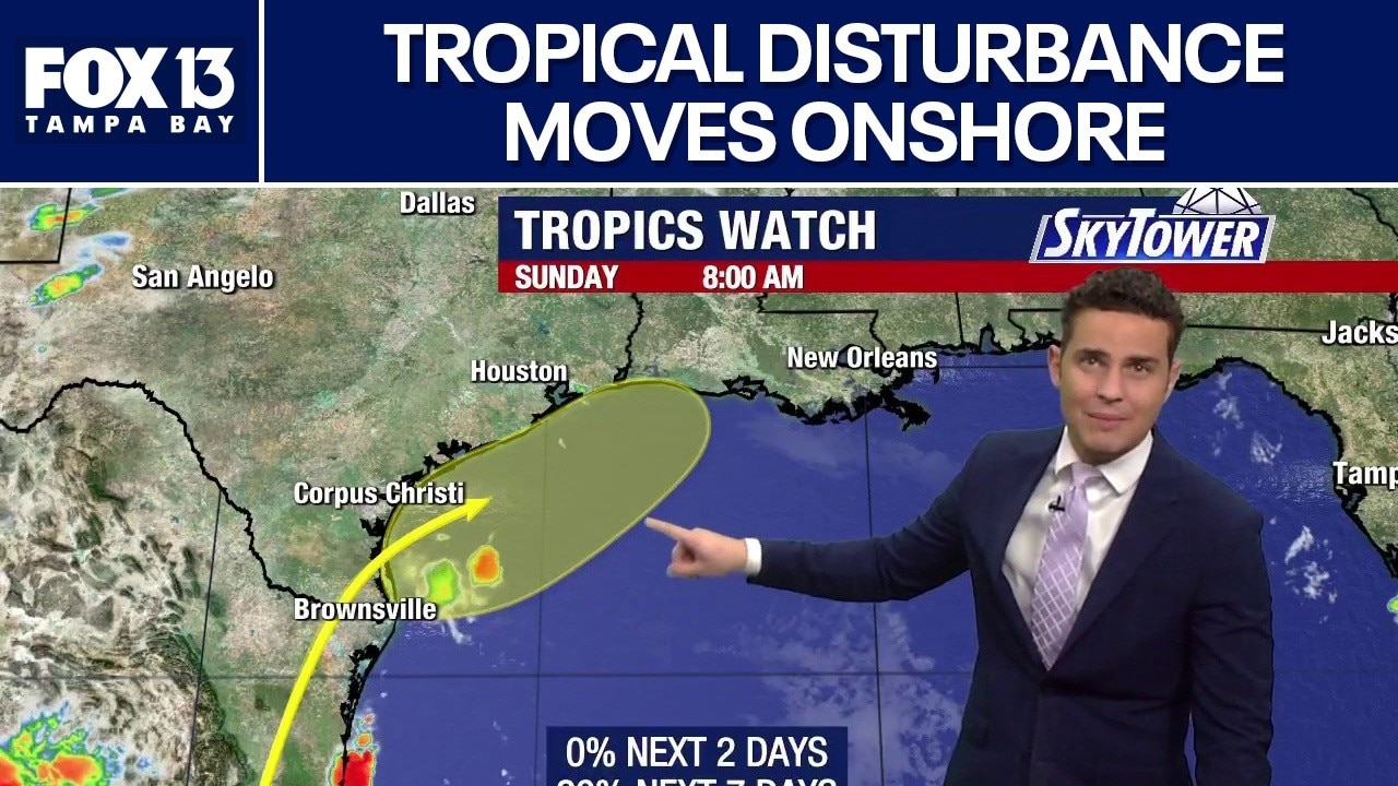
Tropical disturbance moves onshore
FOX 13 Meteorologist Nash Rhodes says the tropical disturbance has moved onshore on the coast of Mexico and is expected to dissipate. But he says there is a chance it can reemerge off the coast of Texas in the next few days. Meanwhile, Nash says the Atlantic area is staying quiet.
FOX 13 Meteorologist Nash Rhodes says the tropical disturbance has moved onshore on the coast of Mexico and is expected to dissipate. But he says there is a chance it can reemerge off the coast of Texas in the next few days. Meanwhile, Nash says the Atlantic area is staying quiet.
Weak tropical disturbance enters Gulf
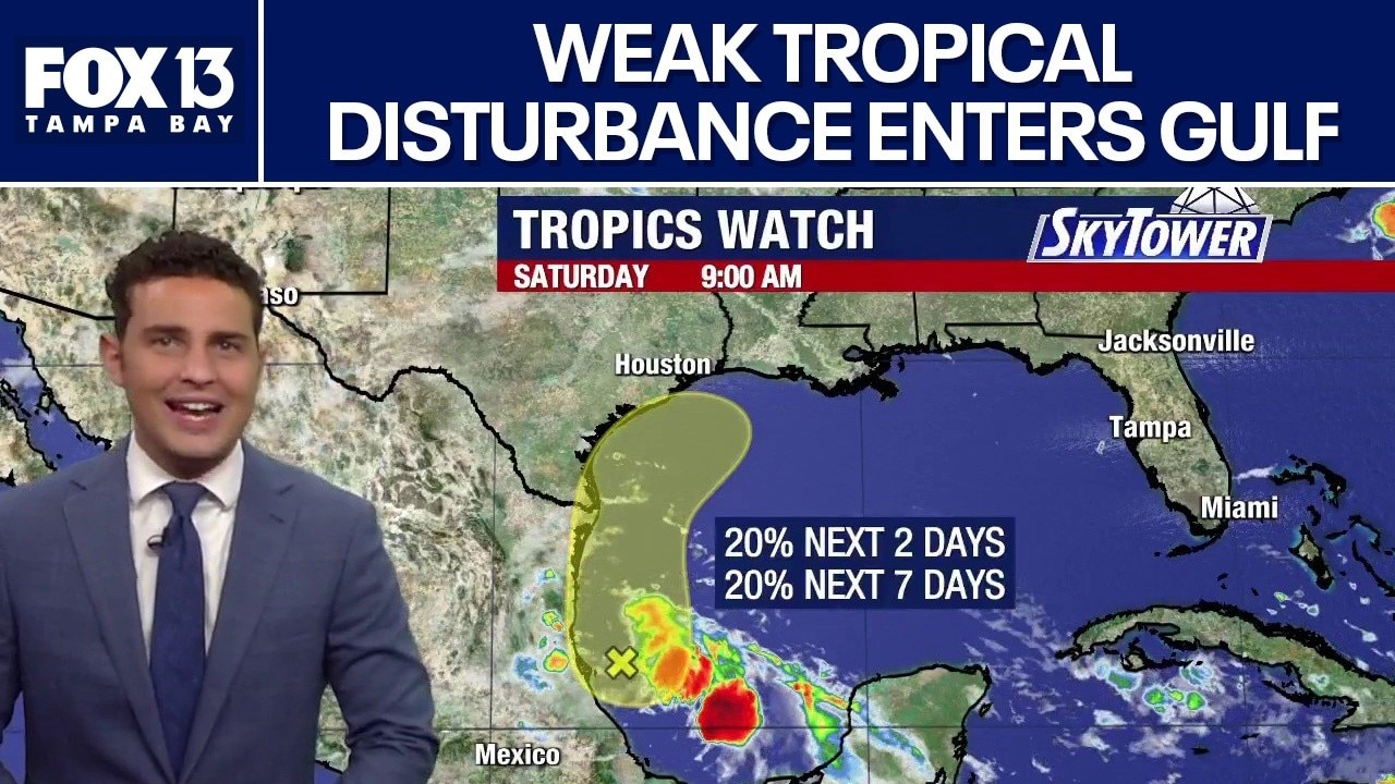
FOX 13 Meteorologist Nash Rhodes says there is nothing currently developing in the middle of the Atlantic or Caribbean. He says one tropical disturbance is entering into the western Gulf. Nash says the disturbance can either dissipate on land over the coast of Mexico, or drift to the north Gulf and reemerge next week off the coast of Texas.
FOX 13 Meteorologist Nash Rhodes says there is nothing currently developing in the middle of the Atlantic or Caribbean. He says one tropical disturbance is entering into the western Gulf. Nash says the disturbance can either dissipate on land over the coast of Mexico, or drift to the north Gulf and reemerge next week off the coast of Texas.
National Hurricane Center flags area of interest
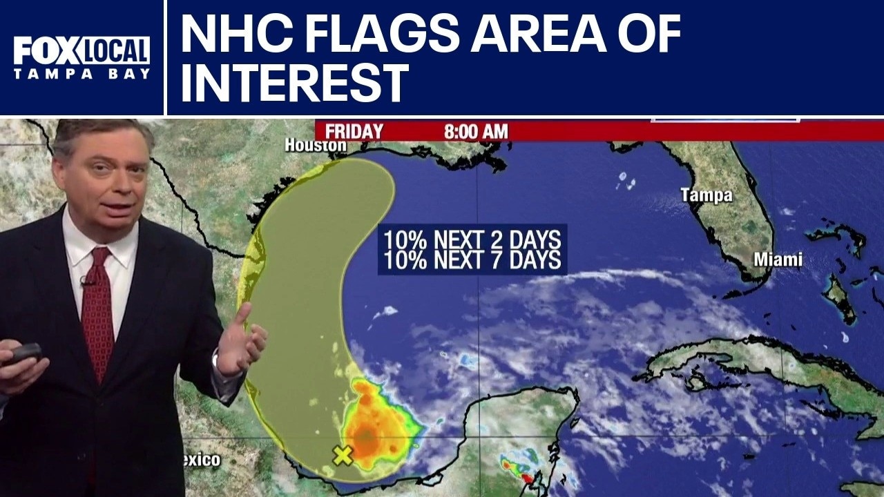
FOX 13 Meteorologist Jim Weber is watching a broad area of low pressure in the Bay of Campeche, which is in the southwestern portion of the Gulf. This is the first area that the National Hurricane Center has designated for the 2026 season. Weber says it will not impact Florida. However, it could go in several different directions. He said that it could work its way into Mexico and then dissipate, but it could also briefly move on shore and interact with a front to the north, which could bring it back out over the water and into the northern Gulf, bringing rain into Texas and the Gulf Coast. It has a 10% chance of developing over the next week.
FOX 13 Meteorologist Jim Weber is watching a broad area of low pressure in the Bay of Campeche, which is in the southwestern portion of the Gulf. This is the first area that the National Hurricane Center has designated for the 2026 season. Weber says it will not impact Florida. However, it could go in several different directions. He said that it could work its way into Mexico and then dissipate, but it could also briefly move on shore and interact with a front to the north, which could bring it back out over the water and into the northern Gulf, bringing rain into Texas and the Gulf Coast. It has a 10% chance of developing over the next week.
El Nino officially began on Thursday
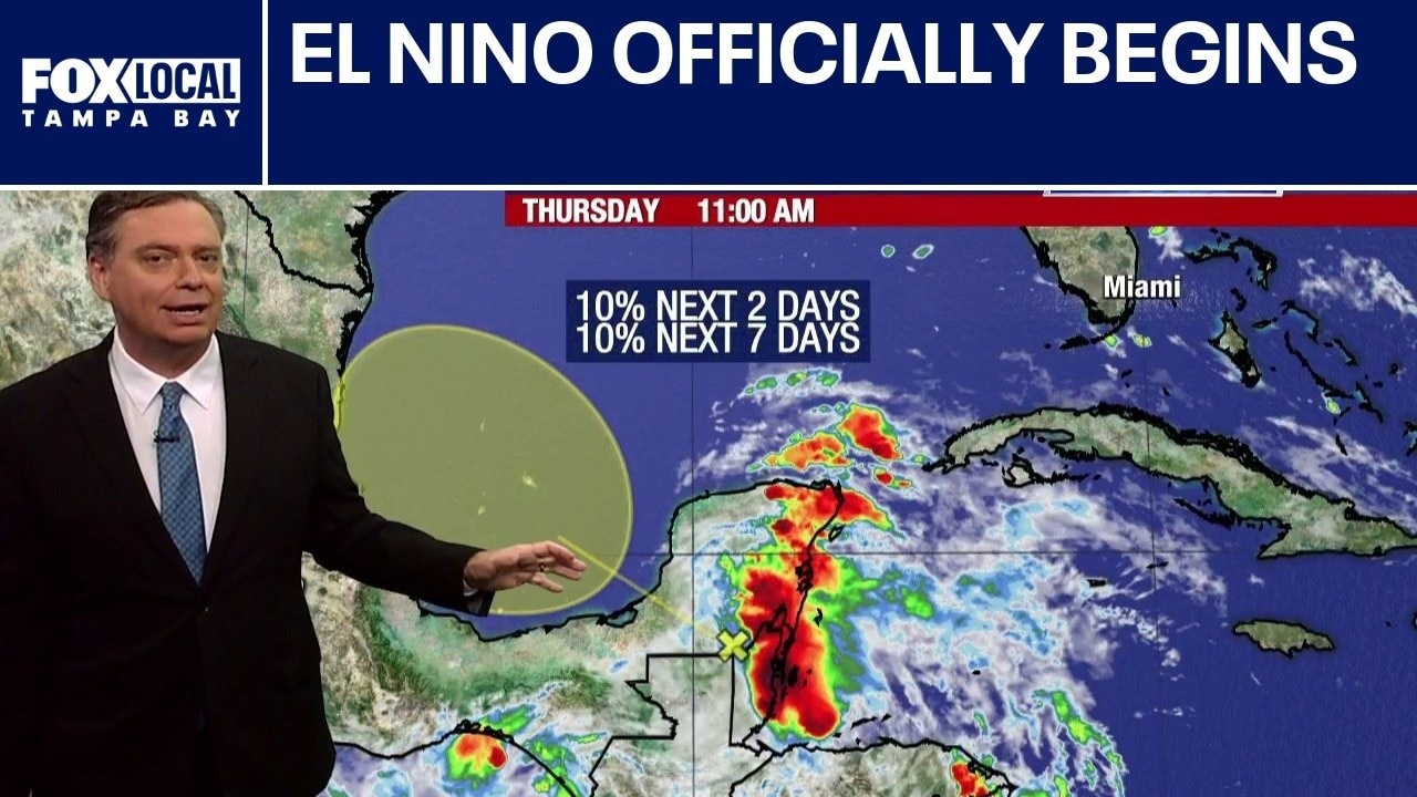
FOX 13 Meteorologist Jim Weber says El Nino officially started on Thursday, which usually means a quieter hurricane season. However, he is watching an area in the Southwestern Gulf that has a 10% chance of developing from the remnants of former Tropical Storm Cristina. Weber says it is unlikely it will develop because conditions aren’t favorable and there isn’t much time. Weber adds that it will work its way into Mexico. Otherwise, wind shear keeps the tropics quiet.
FOX 13 Meteorologist Jim Weber says El Nino officially started on Thursday, which usually means a quieter hurricane season. However, he is watching an area in the Southwestern Gulf that has a 10% chance of developing from the remnants of former Tropical Storm Cristina. Weber says it is unlikely it will develop because conditions aren’t favorable and there isn’t much time. Weber adds that it will work its way into Mexico. Otherwise, wind shear keeps the tropics quiet.
Possible area of disturbance in Gulf
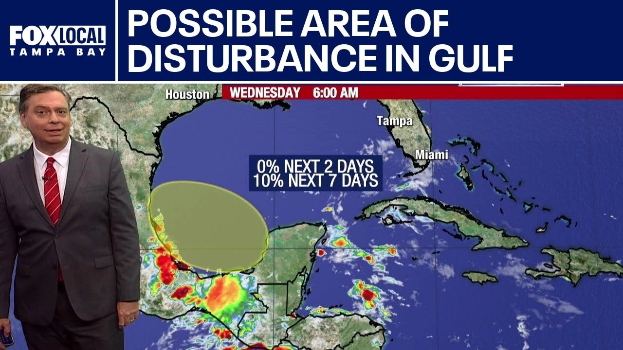
FOX 13 Meteorologist Jim Weber is watching a possible disturbance in the Gulf that may stem from Tropical Storm Cristina that is in the Pacific. Weber says if it makes its way into the southwestern Gulf, it will likely continue to push into Mexico, adding that wind shear is leading to unfavorable conditions. He adds that there is no threat to Florida or the United States.
FOX 13 Meteorologist Jim Weber is watching a possible disturbance in the Gulf that may stem from Tropical Storm Cristina that is in the Pacific. Weber says if it makes its way into the southwestern Gulf, it will likely continue to push into Mexico, adding that wind shear is leading to unfavorable conditions. He adds that there is no threat to Florida or the United States.
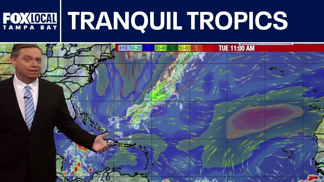
Dry air in Atlantic keeps storms at bay
FOX 13 Meteorologist Jim Weber says we are seeing a quiet start to the 2026 hurricane season. He says no formation is expected over the next seven days. Weber adds that moisture from Tropical Storm Cristina in the Pacific may work its way into the Gulf. He is keeping an eye on it but says things are expected to remain quiet for Florida.
FOX 13 Meteorologist Jim Weber says we are seeing a quiet start to the 2026 hurricane season. He says no formation is expected over the next seven days. Weber adds that moisture from Tropical Storm Cristina in the Pacific may work its way into the Gulf. He is keeping an eye on it but says things are expected to remain quiet for Florida.
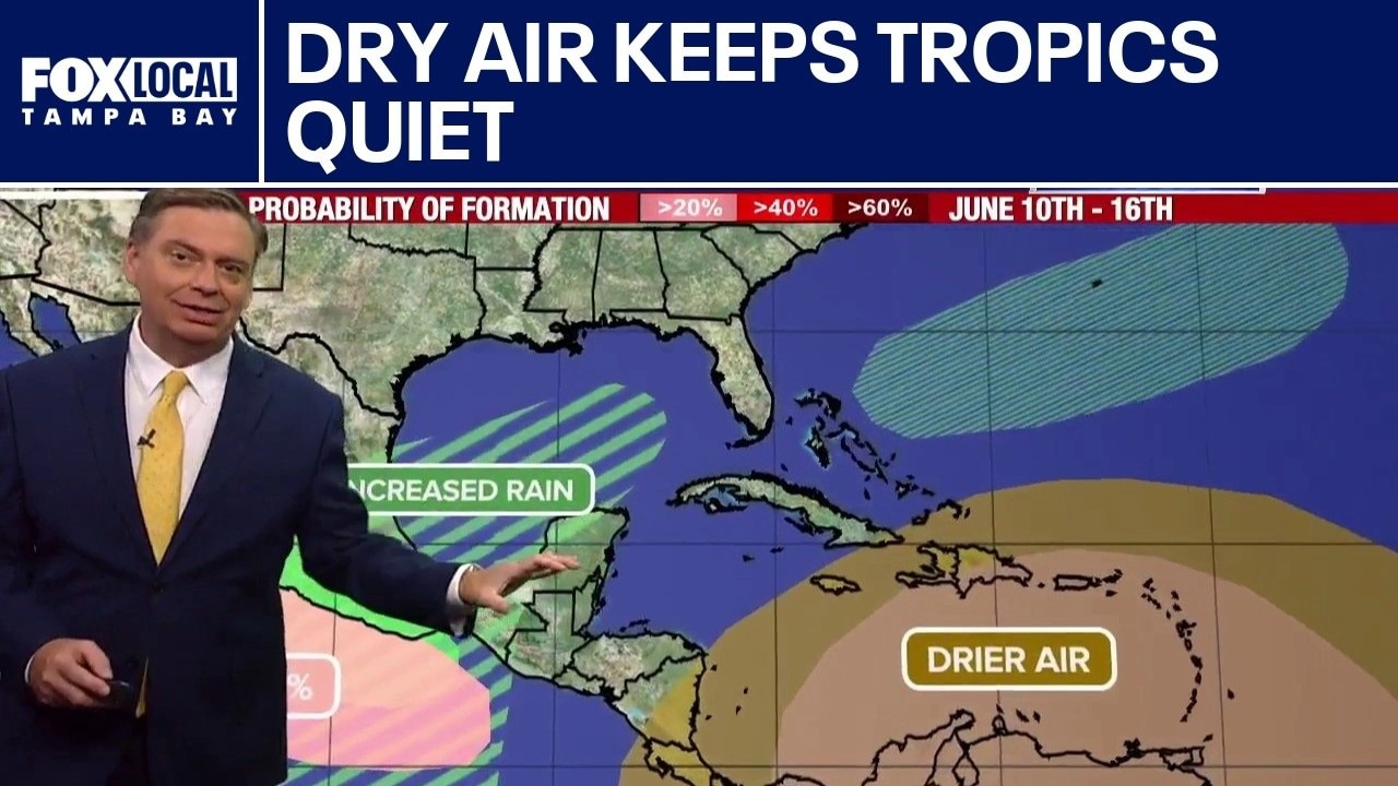
Dry air hinders area of convection in Caribbean
FOX 13 Meteorologist Jim Weber is watching the tropics, which remains quiet one week into the 2026 hurricane season. He is monitoring an area of convection in the Central Caribbean, but notes that there is dry air working its way through and nothing is organized as of Monday morning. While the Atlantic and Caribbean are quiet, the Pacific is heating up with Tropical Storm Boris and Tropical Depress 3E, which will likely become Cristina working their way along the coastline before possibly bringing moisture into the Gulf and eventually even Texas.
FOX 13 Meteorologist Jim Weber is watching the tropics, which remains quiet one week into the 2026 hurricane season. He is monitoring an area of convection in the Central Caribbean, but notes that there is dry air working its way through and nothing is organized as of Monday morning. While the Atlantic and Caribbean are quiet, the Pacific is heating up with Tropical Storm Boris and Tropical Depress 3E, which will likely become Cristina working their way along the coastline before possibly bringing moisture into the Gulf and eventually even Texas.
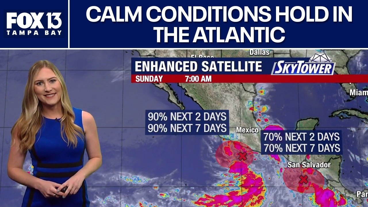
Quiet tropics due to moving Saharan dust
FOX 13 Meteorologist Valerie Mills says Saharan dust is continuing to make its way to the Caribbean, keeping the tropics quiet. She says deep tropical moisture from the Caribbean will be pulled into the Gulf in the next week, giving a chance of increased rainfall.
FOX 13 Meteorologist Valerie Mills says Saharan dust is continuing to make its way to the Caribbean, keeping the tropics quiet. She says deep tropical moisture from the Caribbean will be pulled into the Gulf in the next week, giving a chance of increased rainfall.
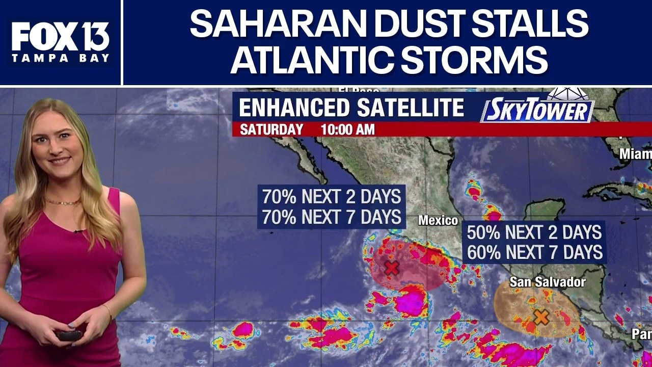
Tropics quiet as Saharan dust keeps storms at bay
FOX 13 Meteorologist Valerie Mills is watching another quiet day in the Atlantic. She says the Saharan dust traveling over the main regions is keeping formations at bay. Mills says deep tropical moisture is being pulled into the Caribbean, that could bring an increased chance of rain into the Gulf. Mills says no tropical development is expected over the next seven days.
FOX 13 Meteorologist Valerie Mills is watching another quiet day in the Atlantic. She says the Saharan dust traveling over the main regions is keeping formations at bay. Mills says deep tropical moisture is being pulled into the Caribbean, that could bring an increased chance of rain into the Gulf. Mills says no tropical development is expected over the next seven days.