

Tropical wave's chances for development increase in Atlantic
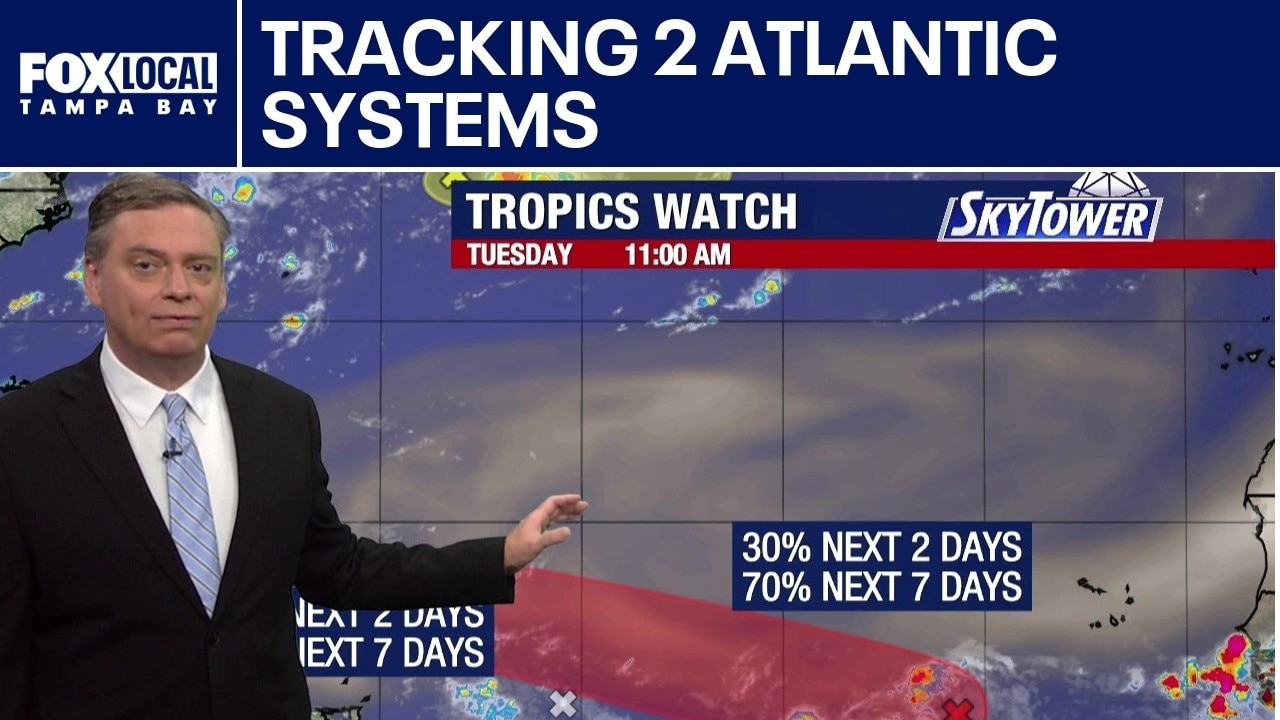
Two Atlantic systems being tracked
FOX 13 Meteorologist Jim Weber is watching two areas in the Atlantic that he said poses no concern now. He says one that has a 10% area is heading out over open waters. A second area in the Atlantic has a 70 percent chance of developing over the next week. Weber says it is sitting on the southern side of wind shear and a Saharan dust plume, which increases its chance of development. Weber says while it may get stronger, it is expected to eventually work its way into a more hostile environment as it moves toward the north.
TAMPA, Fla. - We are down to two areas that FOX 13 meteorologists are watching in the tropics. The first is a trough of low pressure in the Central Subtropical Atlantic located about 750 miles east-northeast of Bermuda.
Atlantic tropical wave development
What we know:
It has become a little more concentrated but continues to move over open waters and is heading for cooler waters later this week. Development is low at only 20%, but regardless of development will remain over open waters.
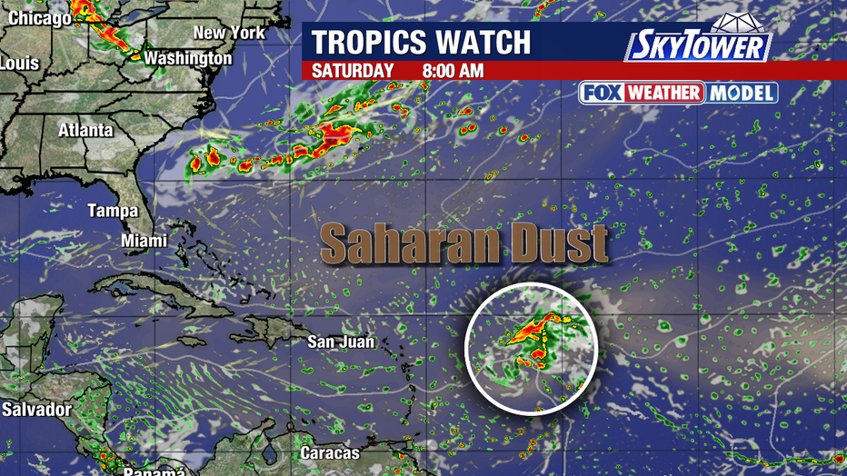
The Central Tropical Atlantic has an area of disorganized showers and thunderstorms that are associated with a west moving tropical wave about 550 miles southwest of the Cabo Verde Islands.
Development of this system is possible while it remains south of the main plume of Saharan Dust and in an area which is more conducive for development. It is likely that a tropical depression will form later this week.
Eventually, wind shear will begin to increase and dry air may become problematic by the weekend. The National Hurricane Center puts the chance of development at 40% over the next two days and 70% over the next seven days.
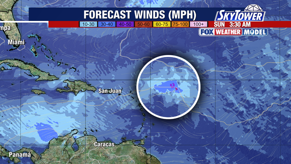
Future path and circulation
What's next:
The Fox Weather Model indicates winds increasing to near tropical storm force but currently does not indicate a closed circulation.
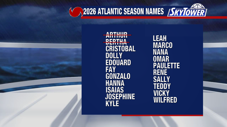
The next name on the list is Cristobal.
The Source: The information in this story was gathered from the FOX 13 weather team as well as official tropical weather outlooks issued by the National Hurricane Center.