

National Hurricane Center eyes area of disturbed weather moving into Bay of Campeche
TAMPA, Fla. - As the 2025 hurricane season gets underway, meteorologists are keeping an eye on an area of disturbed weather in the northwestern Caribbean Sea.
FOX 13 Meteorologist Nash Rhodes says after crossing the Yucatan Peninsula, a cluster of thunderstorms in the northwestern Caribbean Sea will have a chance of developing in the Bay of Campeche.
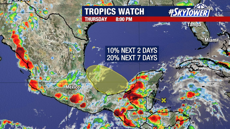
The National Hurricane Center says the disturbance has a 20% chance of forming within the next week. However, those chances will likely rise if the system remains over water.
Why is Bay of Campeche important?
According to FOX Weather, the Bay of Campeche is known for rapid spin-ups of tropical cyclones due to warm sea surface temperatures and favorable terrain, but several factors are working against significant development in this case.
Forecast models and the current phase of the Madden-Julian Oscillation suggest that environmental conditions will likely inhibit tropical cyclone formation.
Will the tropical disturbance impact Florida?
What's next:
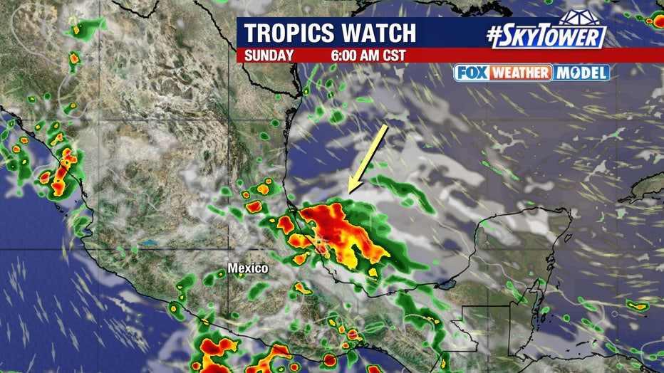
Rhodes says that most weather models that show the system developing keep it moving west toward Mexico without any impact on Florida.
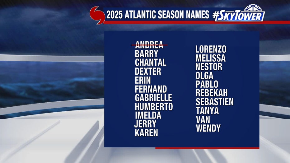
The next name on the 2025 hurricane list is Barry, but there are no indications as of now that a named storm will form in the immediate future.
The Source: This story was written with information gathered by FOX 13 Meteorologist Nash Rhodes and FOX Weather.
STAY CONNECTED WITH FOX 13 TAMPA:
- Download the FOX Local app for your smart TV
- Download FOX Local mobile app: Apple | Android
- Download the FOX 13 News app for breaking news alerts, latest headlines
- Download the SkyTower Radar app
- Sign up for FOX 13’s daily newsletter
- Follow FOX 13 on YouTube