

Tropical waves face high wind shear ahead of September peak
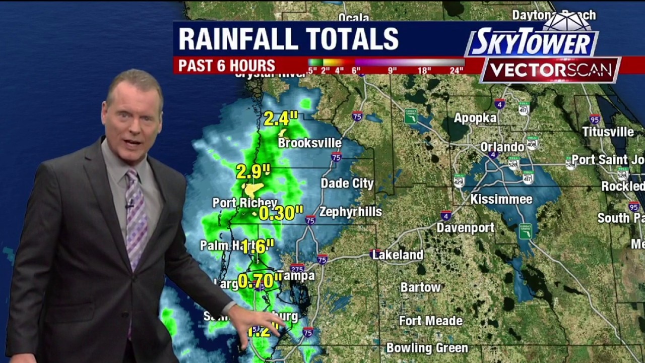
Tampa weather | Thursday morning forecast
FOX 13 Meteorologist Dave Osterberg says Thursday will have another heat blast with storms moving inland in the afternoon. The high temperature will be 92 degrees.
TAMPA, Fla. - A quiet stretch across the Atlantic is keeping tropical waves from developing as unfavorable conditions stifle storm formation near the Caribbean.
Tropical wave activity remains calm
What we know:
Tropical waves moving west toward the islands are facing severe environmental headwinds. High wind shear and Saharan dust are limiting any potential for these systems to organize or strengthen.
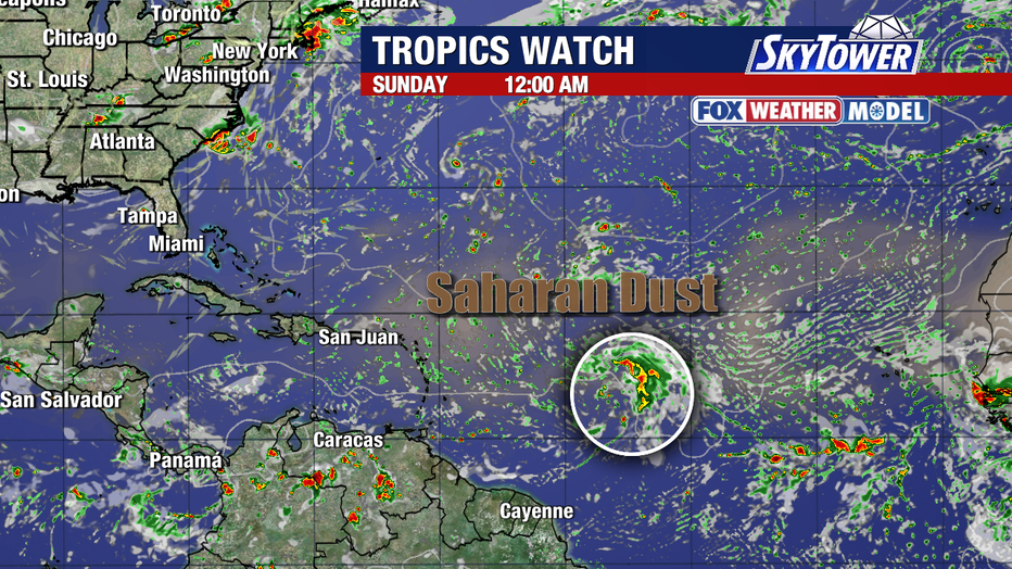
Climatological peak brings more waves
The backstory:
The tropics are approaching the climatological peak of the hurricane season on Sept. 10. While more tropical waves are expected to pop up in the coming weeks, atmospheric conditions will keep things quiet for the next five to seven days.
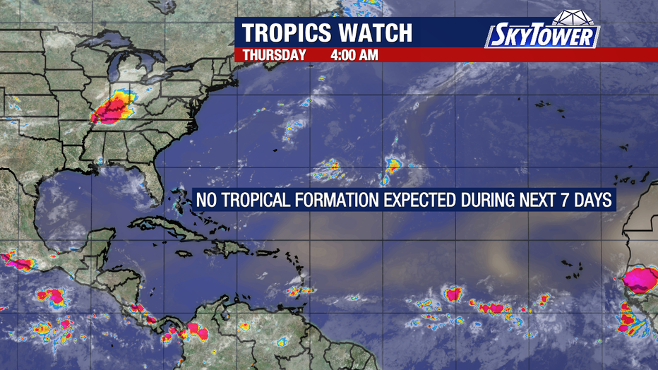
Atlantic track conditions remain uncertain
What we don't know:
It remains unclear if environmental factors like Saharan dust will clear in time for future waves to develop as September approaches. Officials have not indicated when conditions might become more favorable for storm formation.
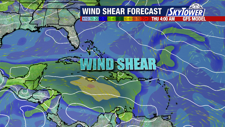
Calm weather window expected soon
What's next:
Weather conditions are projected to stay quiet across the tropical Atlantic over the next five to seven days. Forecasters will continue monitoring new waves as the season reaches its September peak.
The Source: The information in this story was gathered from FOX 13 Meteorologist Dave Osterberg, detailing tropical Atlantic conditions, atmospheric wind shear and dust impacts, and long-range climatological forecasts.