

Tropical systems could develop in Atlantic
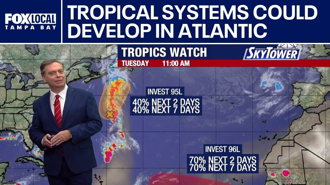
FOX 13 Meteorologist Jim Weber is watching two areas in the tropics, including Invest 95L, which is expected to work its way north, where it is expected to encounter hostile wind shear as it tries to become a tropical depression. It is not expected to impact the United States. He is also watching Invest 96L off the coast of Africa, which has a 70% chance of development. Weber noted that the models show it moving west-northwest and then several models have it turning to the north, while others have it moving west. He said it is still too early to definitively say where it is going to go. The next name on the list is Dolly.
FOX 13 Meteorologist Jim Weber is watching two areas in the tropics, including Invest 95L, which is expected to work its way north, where it is expected to encounter hostile wind shear as it tries to become a tropical depression. It is not expected to impact the United States. He is also watching Invest 96L off the coast of Africa, which has a 70% chance of development. Weber noted that the models show it moving west-northwest and then several models have it turning to the north, while others have it moving west. He said it is still too early to definitively say where it is going to go. The next name on the list is Dolly.
2 tropical systems monitored in Atlantic
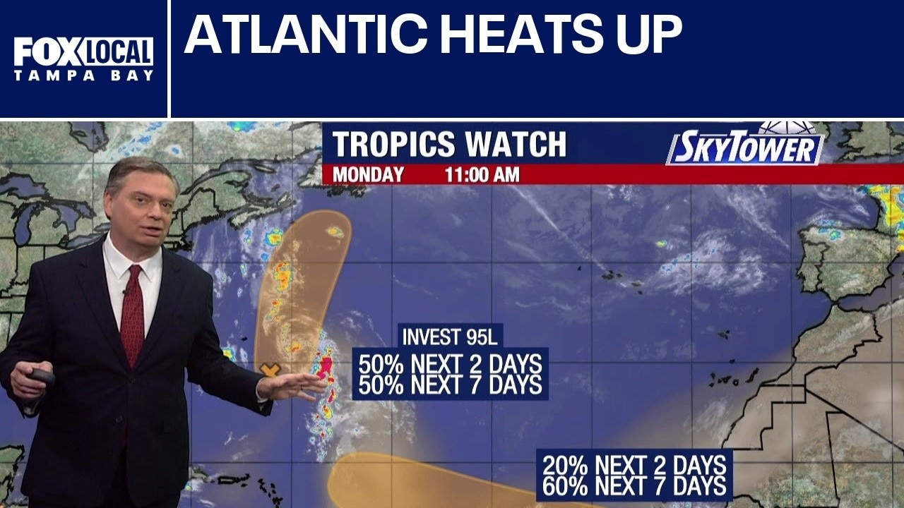
FOX 13 Meteorologist Jim Weber is looking at two areas in the Atlantic, including Invest 95, that may develop this week. He said Invest 95 could become a tropical depression or tropical storm, but it is moving north and will not impact the United States. He is also watching an area off the coast of Africa that has a 60% chance of developing this week. The next name on the list is Dolly. Weber is also watching the Pacific, which has three named systems and four areas of interest.
FOX 13 Meteorologist Jim Weber is looking at two areas in the Atlantic, including Invest 95, that may develop this week. He said Invest 95 could become a tropical depression or tropical storm, but it is moving north and will not impact the United States. He is also watching an area off the coast of Africa that has a 60% chance of developing this week. The next name on the list is Dolly. Weber is also watching the Pacific, which has three named systems and four areas of interest.
Tropical Storm Moke passes south of Hawaii
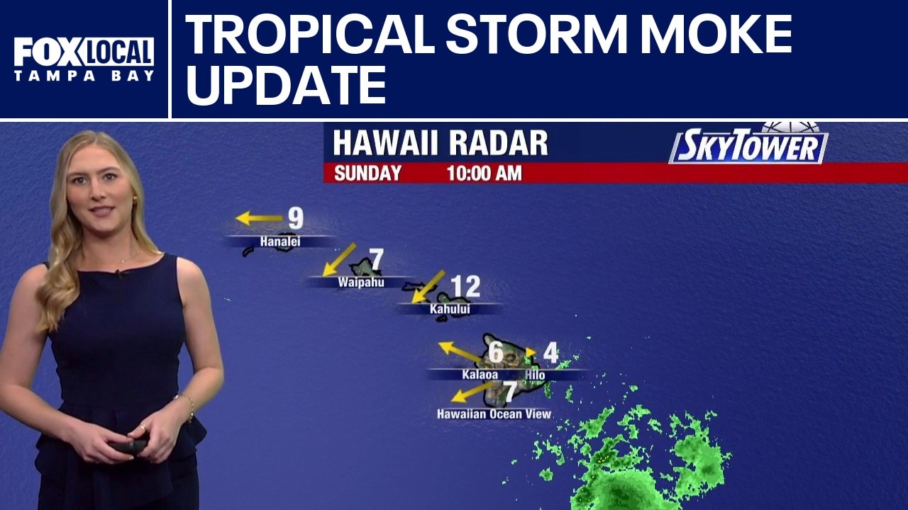
FOX 13 Meteorologist Valerie Mills is tracking Tropical Storm Moke in the Pacific as it is passing south of the Hawaiian Islands, with winds and rain expected to increase this week. Moke is forecast to remain a tropical storm and pass south of the islands without making landfall. A pair of areas of development are currently being monitored in the Atlantic. The first area is just to the south-southeast of Bermuda, with only a 30% chance of development over the next week. The other area is near Portugal and Spain, where it has been bringing some rain but has a low chance of development overall. A tropical wave merging off the coast of Africa is also something to monitor this week, with a 50% chance of development over the next week. The next name on the 2026 Atlantic storm list is Dolly.
FOX 13 Meteorologist Valerie Mills is tracking Tropical Storm Moke in the Pacific as it is passing south of the Hawaiian Islands, with winds and rain expected to increase this week. Moke is forecast to remain a tropical storm and pass south of the islands without making landfall. A pair of areas of development are currently being monitored in the Atlantic. The first area is just to the south-southeast of Bermuda, with only a 30% chance of development over the next week. The other area is near Portugal and Spain, where it has been bringing some rain but has a low chance of development overall. A tropical wave merging off the coast of Africa is also something to monitor this week, with a 50% chance of development over the next week. The next name on the 2026 Atlantic storm list is Dolly.
Couple of areas to watch
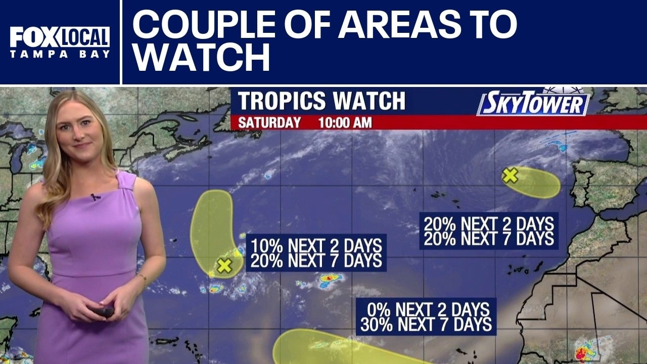
FOX 13 meteorologist Valerie Mills explains how we have a couple of areas to watch in the Atlantic Basin. It is about this point in the hurricane season where the main development region starts to come to life.
FOX 13 meteorologist Valerie Mills explains how we have a couple of areas to watch in the Atlantic Basin. It is about this point in the hurricane season where the main development region starts to come to life.
2 Atlantic tropical systems being monitored
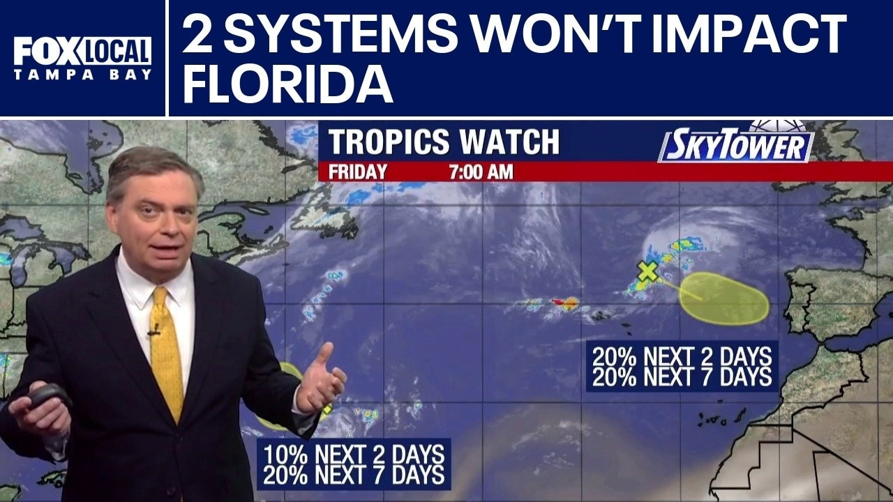
FOX 13 Meteorologist Jim Weber is watching two areas in the Atlantic that both have a 20% chance of development over the next week. However, he says regardless of development, neither system will impact Florida. Weber says one system is headed toward Europe and could eventually impact Portugal. Weber is also watching Tropical Depression Two-C in the Pacific, which is expected to pass south of the Hawaiian Islands.
FOX 13 Meteorologist Jim Weber is watching two areas in the Atlantic that both have a 20% chance of development over the next week. However, he says regardless of development, neither system will impact Florida. Weber says one system is headed toward Europe and could eventually impact Portugal. Weber is also watching Tropical Depression Two-C in the Pacific, which is expected to pass south of the Hawaiian Islands.
Tropical waves hindered by Saharan dust
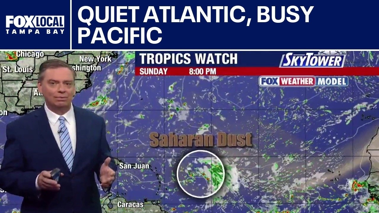
FOX 13 Meteorologist Jim Weber is watching the tropics, which remain quiet on the Atlantic side, while the Pacific remains active with Hurricane Lala and Tropical Depression Two-E. Weber noted that waves rolling off the coast of Africa keep encountering Saharan dust and wind shear which prohibits development.
FOX 13 Meteorologist Jim Weber is watching the tropics, which remain quiet on the Atlantic side, while the Pacific remains active with Hurricane Lala and Tropical Depression Two-E. Weber noted that waves rolling off the coast of Africa keep encountering Saharan dust and wind shear which prohibits development.
Continuing to watch the tropics
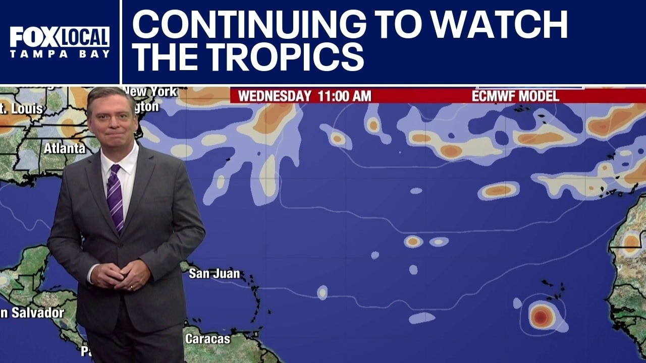
FOX 13 meteorologist Jim Weber explains the latest developments in the tropics. We continue to watch Hurricane Lala as it continues to strengthen. Invest 90E is another area of concern as it tracks along a similar path.
FOX 13 meteorologist Jim Weber explains the latest developments in the tropics. We continue to watch Hurricane Lala as it continues to strengthen. Invest 90E is another area of concern as it tracks along a similar path.
Saharan dust breaks apart tropical waves
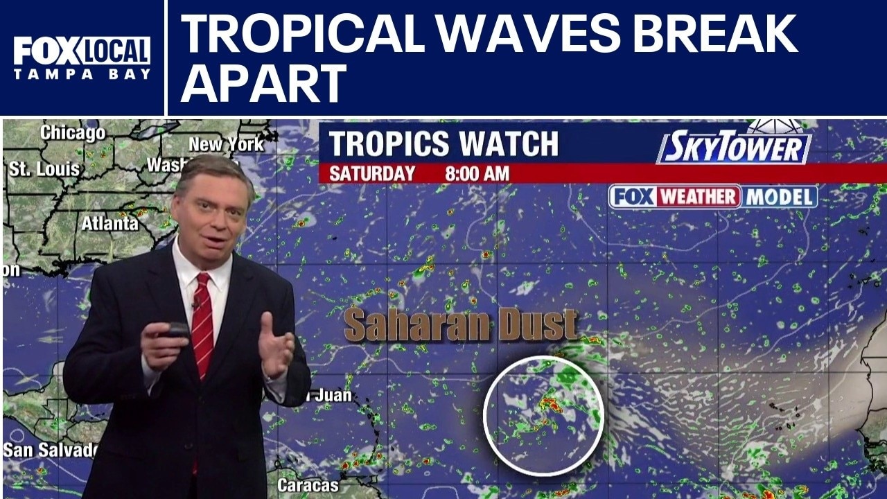
FOX 13 Meteorologist Jim Weber is keeping an eye on Hurricane Lala, which is moving over open water after it skirted by Hawaii. In the Atlantic, he said dry air and wind shear pulled apart several tropical systems that were rolling off the coast of Africa. Weber said no tropical formation is expected over the next seven days.
FOX 13 Meteorologist Jim Weber is keeping an eye on Hurricane Lala, which is moving over open water after it skirted by Hawaii. In the Atlantic, he said dry air and wind shear pulled apart several tropical systems that were rolling off the coast of Africa. Weber said no tropical formation is expected over the next seven days.
Quiet Atlantic: Dry air staves off tropics
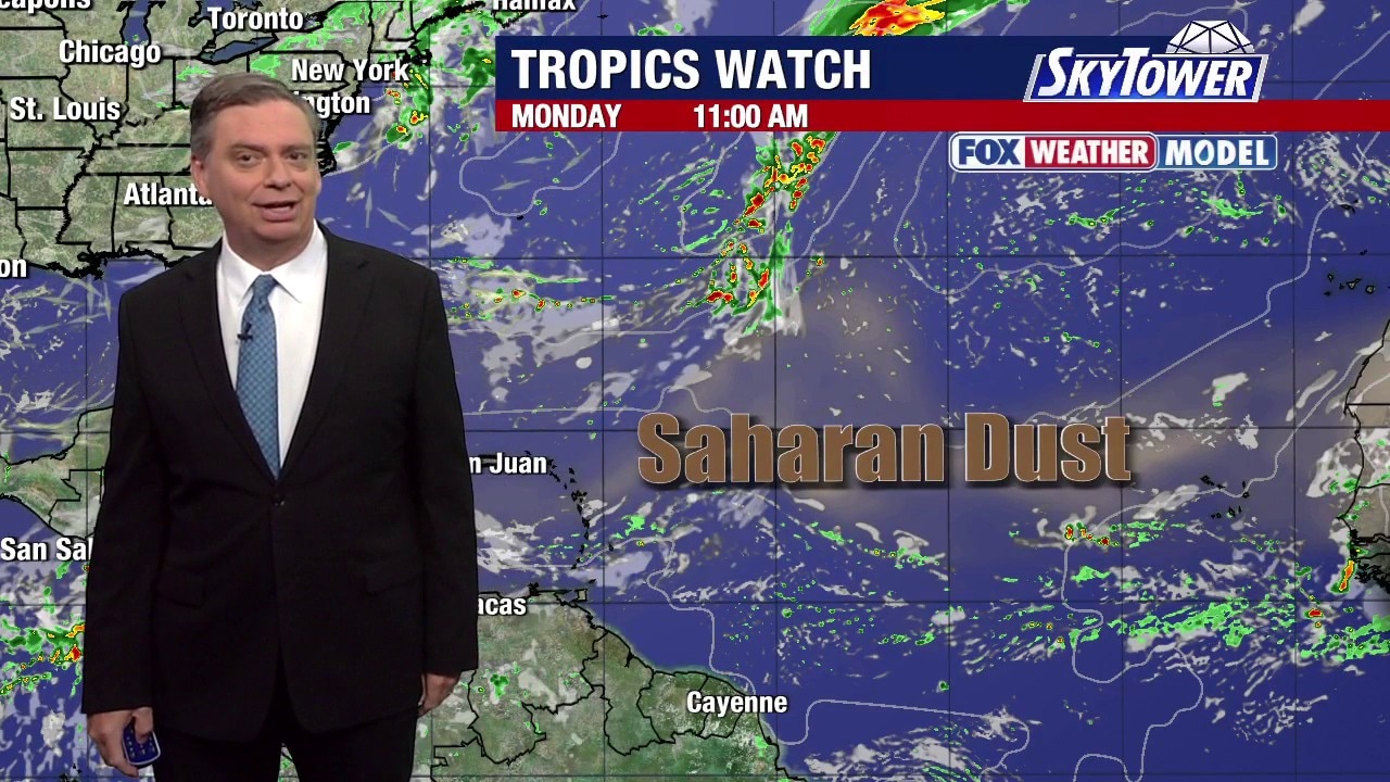
FOX 13 Meteorologist Jim Weber is keeping an eye on a quiet Atlantic with no tropical formation expected over the next week. However, Weber said we will likely see more waves making their way off the coast of Africa, adding that there is still a lot of dry air in the Atlantic that creates a hostile environment, which is not conducive for development. He noted that it is possible for a wave to find a pocket in between dry air that would allow for development. In the Pacific, Hurricane Lala passed by the Big Island of Hawaii before being downgraded to a tropical storm.
FOX 13 Meteorologist Jim Weber is keeping an eye on a quiet Atlantic with no tropical formation expected over the next week. However, Weber said we will likely see more waves making their way off the coast of Africa, adding that there is still a lot of dry air in the Atlantic that creates a hostile environment, which is not conducive for development. He noted that it is possible for a wave to find a pocket in between dry air that would allow for development. In the Pacific, Hurricane Lala passed by the Big Island of Hawaii before being downgraded to a tropical storm.
Keeping tabs on Tropical Storm Lala
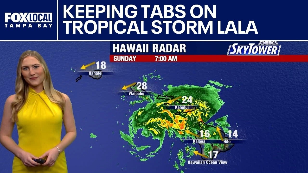
FOX 13 meteorologist Valerie Mills is keeping tabs on Tropical Storm Lala. It weakened early Sunday morning, from a Category 1 to a Tropical Storm, with sustained winds of 70 mph. The trend continues to move west and away from the islands throughout Sunday into Monday.
FOX 13 meteorologist Valerie Mills is keeping tabs on Tropical Storm Lala. It weakened early Sunday morning, from a Category 1 to a Tropical Storm, with sustained winds of 70 mph. The trend continues to move west and away from the islands throughout Sunday into Monday.
Tracking Tropical Storm Lala
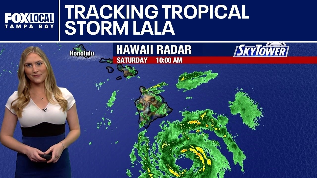
FOX 13 meteorologist Valerie Mills is tracking Tropical Storm Lala, which has sustained winds of 65 mph. It is still expected to become Hurricane Lala. This system is expected to pass just to the south, running parallel to the islands over the weekend.
FOX 13 meteorologist Valerie Mills is tracking Tropical Storm Lala, which has sustained winds of 65 mph. It is still expected to become Hurricane Lala. This system is expected to pass just to the south, running parallel to the islands over the weekend.
Tropical Storm Lala aims for Hawaii
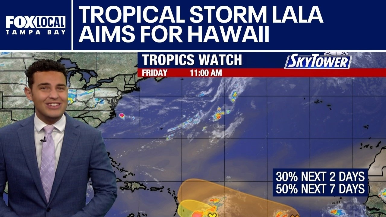
FOX 13 Meteorologist Nash Rhodes explains that the National Hurricane Center is tracking two tropical systems in the Atlantic alongside Tropical Storm Lala in the Pacific, which is forecast to strengthen into a Category 1 hurricane before striking Hawaii.
FOX 13 Meteorologist Nash Rhodes explains that the National Hurricane Center is tracking two tropical systems in the Atlantic alongside Tropical Storm Lala in the Pacific, which is forecast to strengthen into a Category 1 hurricane before striking Hawaii.
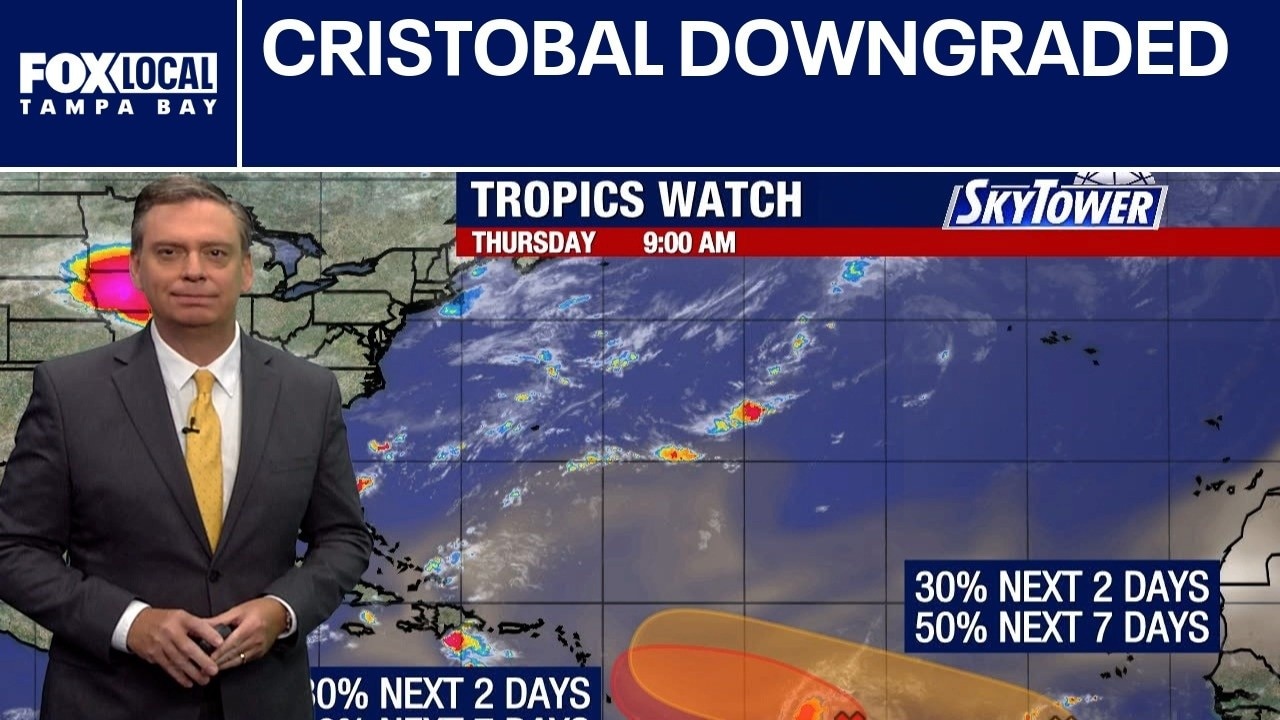
Cristobal downgraded
FOX 13 meteorologist Jim Weber explains that Tropical Depression Cristobal was downgraded from a tropical storm and is expected to dissipate over open water Thursday. Two atmospheric disturbances farther south struggle against dry air and wind shear.
FOX 13 meteorologist Jim Weber explains that Tropical Depression Cristobal was downgraded from a tropical storm and is expected to dissipate over open water Thursday. Two atmospheric disturbances farther south struggle against dry air and wind shear.
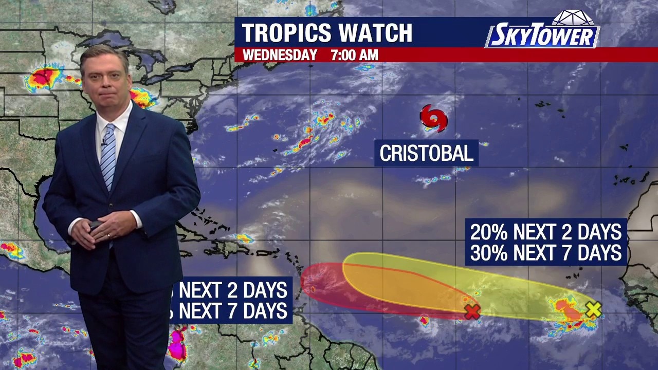
Cristobal: New named system
FOX 13 Meteorologist Jim Weber is monitoring a new system named Cristobal. Tropical Storm Cristobal has formed in the central Atlantic, tracking east-northeast away from the United States coastline. Forecasters expect the system to be short-lived while they monitor two additional tropical waves further east.
FOX 13 Meteorologist Jim Weber is monitoring a new system named Cristobal. Tropical Storm Cristobal has formed in the central Atlantic, tracking east-northeast away from the United States coastline. Forecasters expect the system to be short-lived while they monitor two additional tropical waves further east.
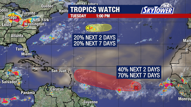

Tropical wave's chances for development increase in Atlantic
We are down to two areas that FOX 13 meteorologists are watching in the tropics. The first is a trough of low pressure in the Central Subtropical Atlantic located about 750 miles east-northeast of Bermuda.
We are down to two areas that FOX 13 meteorologists are watching in the tropics. The first is a trough of low pressure in the Central Subtropical Atlantic located about 750 miles east-northeast of Bermuda.
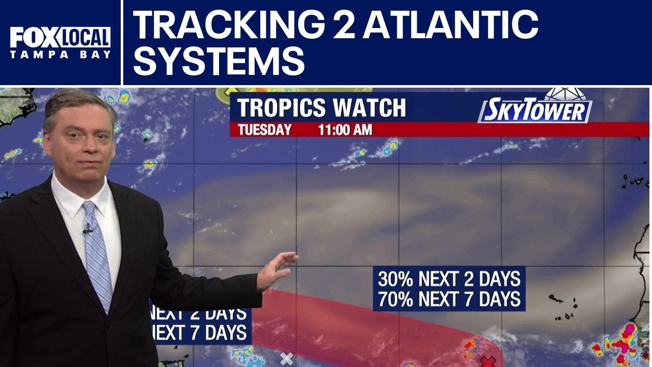
Two Atlantic systems being tracked
FOX 13 Meteorologist Jim Weber is watching two areas in the Atlantic that he said poses no concern now. He says one that has a 10% area is heading out over open waters. A second area in the Atlantic has a 70 percent chance of developing over the next week. Weber says it is sitting on the southern side of wind shear and a Saharan dust plume, which increases its chance of development. Weber says while it may get stronger, it is expected to eventually work its way into a more hostile environment as it moves toward the north.
FOX 13 Meteorologist Jim Weber is watching two areas in the Atlantic that he said poses no concern now. He says one that has a 10% area is heading out over open waters. A second area in the Atlantic has a 70 percent chance of developing over the next week. Weber says it is sitting on the southern side of wind shear and a Saharan dust plume, which increases its chance of development. Weber says while it may get stronger, it is expected to eventually work its way into a more hostile environment as it moves toward the north.
Today's tropical weather forecast
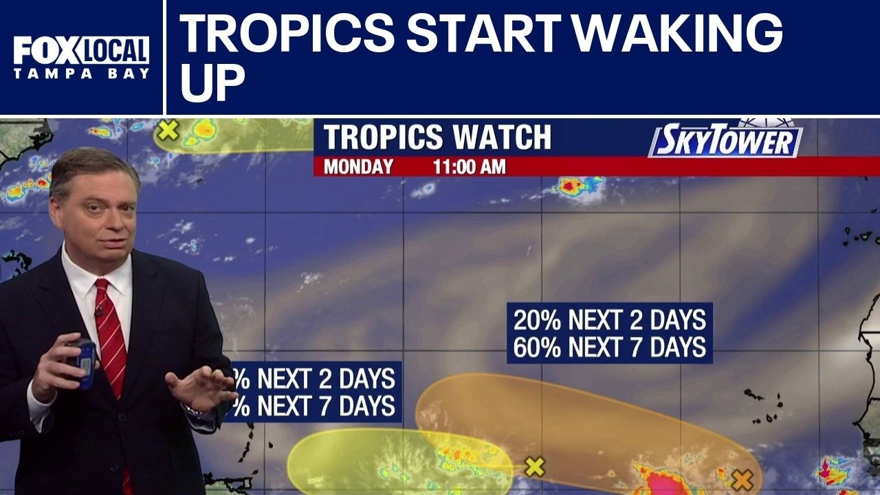
FOX 13 Meteorologist Jim Weber is watching several tropical waves in the Atlantic. However, he said there is no big concern with anything. One wave that has a 10% chance of developing over the next week is moving away from the United States. Another wave with a 10 percent chance of development is moving into the Caribbean, where Weber says it will encounter wind shear and it won’t be able to survive in a hostile environment. The third wave found an area in between Saharan dust plumes and has a 60 percent chance of development over the next week. Weber says the storm is giving signs that it will turn toward the north as we head toward next week.
FOX 13 Meteorologist Jim Weber is watching several tropical waves in the Atlantic. However, he said there is no big concern with anything. One wave that has a 10% chance of developing over the next week is moving away from the United States. Another wave with a 10 percent chance of development is moving into the Caribbean, where Weber says it will encounter wind shear and it won’t be able to survive in a hostile environment. The third wave found an area in between Saharan dust plumes and has a 60 percent chance of development over the next week. Weber says the storm is giving signs that it will turn toward the north as we head toward next week.
Tropics show signs of life
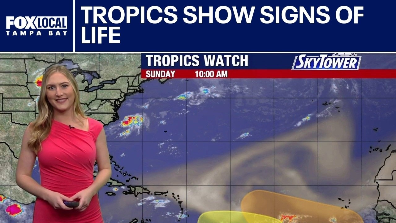
FOX 13 meteorologist Valerie Mills is monitoring the tropics as activity picks up in the main development region. One area has a 20% chance of development over the next seven days, while another has a 40% chance.
FOX 13 meteorologist Valerie Mills is monitoring the tropics as activity picks up in the main development region. One area has a 20% chance of development over the next seven days, while another has a 40% chance.
Monitoring the tropics
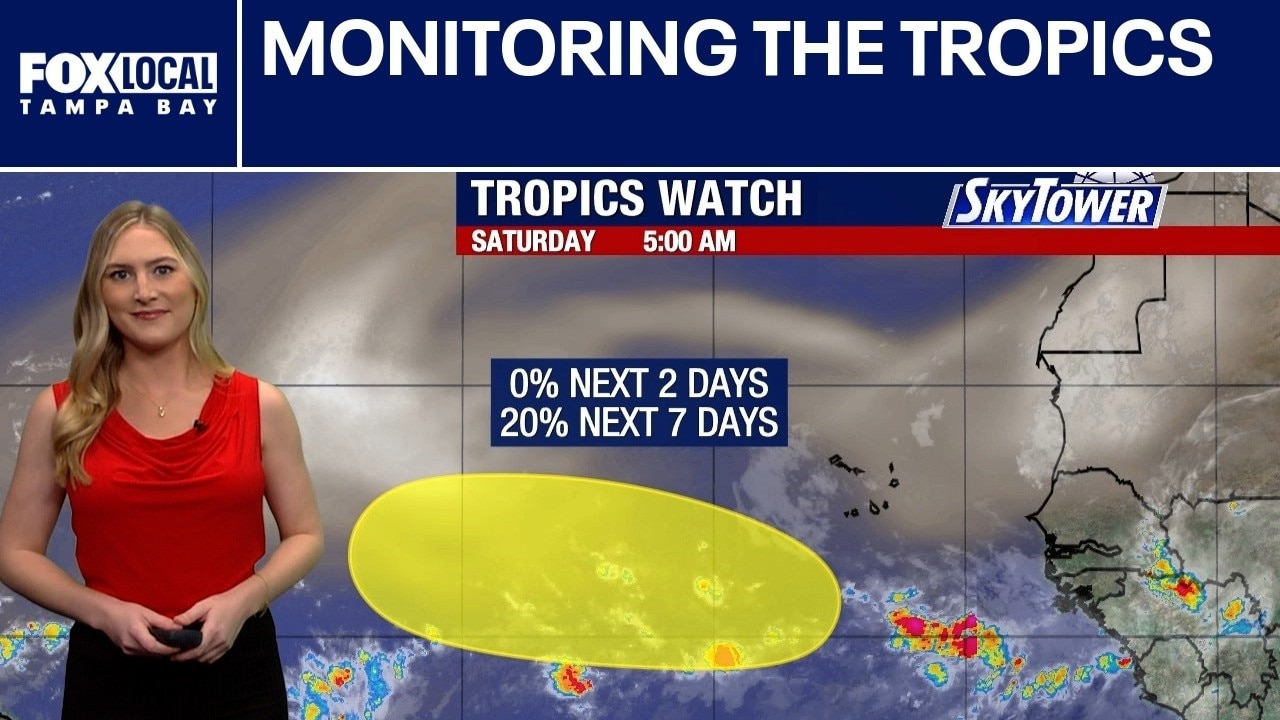
Fox 13 Meteorologist Valerie Mills is monitoring a new system in the far eastern Atlantic. A tropical wave set to emerge off the coast of Africa currently shows a low—20%—chance of gradual development.
Fox 13 Meteorologist Valerie Mills is monitoring a new system in the far eastern Atlantic. A tropical wave set to emerge off the coast of Africa currently shows a low—20%—chance of gradual development.
Below average season
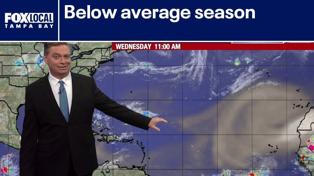
Fox 13 Meteorologist Jim Weber explains how signs point to a below-average hurricane season, driven in part by a continuing and intensifying El Niño. Additionally, no tropical storm formation is expected over the next seven days. However, vigilance remains important as the season moves toward its peak on September 10.
Fox 13 Meteorologist Jim Weber explains how signs point to a below-average hurricane season, driven in part by a continuing and intensifying El Niño. Additionally, no tropical storm formation is expected over the next seven days. However, vigilance remains important as the season moves toward its peak on September 10.