

Hurricane Ian drains water across Tampa Bay area

Video: Hurricane Ian pushes water out of Hillsborough Bay
Along Bayshore Boulevard, Hurricane Ian's winds drained the water out of Hillsborough Bay. An eerie sight which also occurred back in 2017 during Hurricane Irma. Video shows a timelapse from a weather camera and ground video from FOX 13 crews.
CLEARWATER, Fla. - With Hurricane Ian making landfall south of Tampa Bay, the eerie imagery – reminiscent of those from Hurricane Irma in 2017 – of an empty Hillsborough Bay and other local waterways are back.
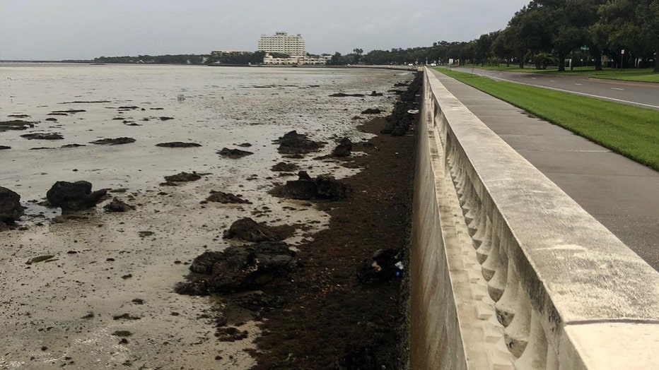
An empty Hillsborough Bay along Bayshore Boulevard (Tampa Police Department)
Strong winds from the storm – even though its eye is about 200 miles away from Tampa Bay as of 9 a.m. – are pushing water out of the bays and bayous, including Hillsborough Bay along Bayshore Boulevard and the Intracoastal areas in Pinellas County.
Water drained due to Hurricane Ian's winds over near Clearwater Marine Aquarium.
The same was seen down in Venice before 10 a.m., closer to where Ian is expected to make landfall.
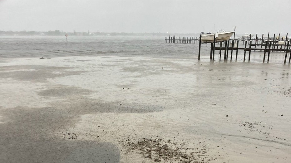
Over in Hudson Beach, the water receded, leaving behind sand and buoys.
Hudson Beach (Provided by Travis Boles)
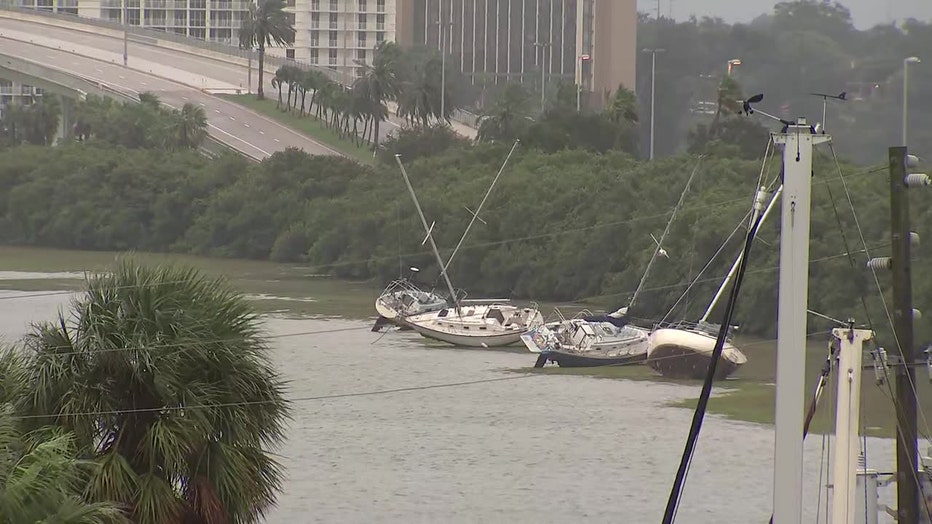
Bradenton police shared images showing the same taking place along the Manatee River.
"This is the Manatee river in Ellenton. Here, there's usually 2-3 feet of water, but the water is being sucked out right now. #HurricaneIan," they wrote.
Here's video out of Osprey.
Water will rush back in as though after Ian passes.
"Do not walk out into receding water in Tampa Bay or Charlotte Harbor - the water WILL return through storm surge and poses a life-threatening risk," FEMA tweeted.
If Tampa Bay was on the receiving end of the eastern side of the storm, it would've been a different story for its waterways. The right front quadrant, from essentially 1 o'clock to 3 o'clock on our imaginary clock, has the strongest winds and worst storm surge.
READ: Why is the right side of a hurricane more dangerous?
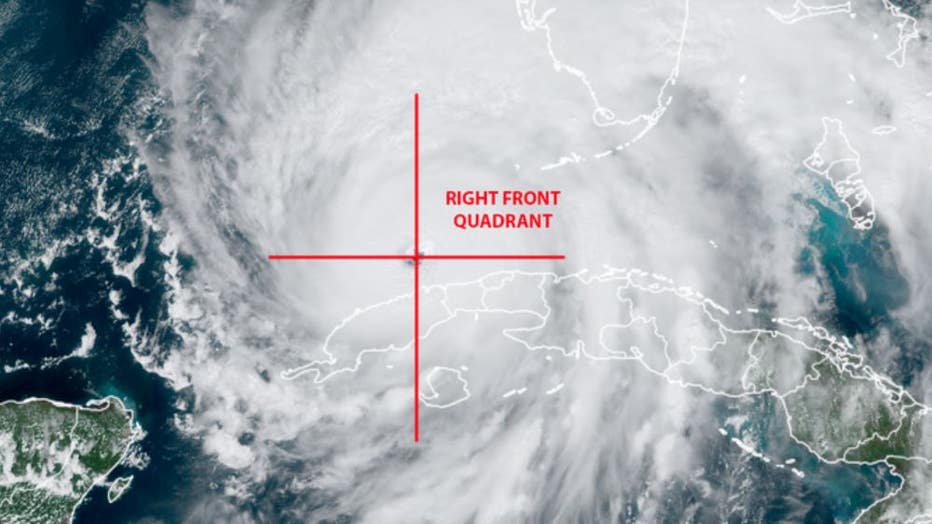
(GOES-16 image courtesy NOAA/CIRA/RAAM-B)
If Ian followed its previously projected path – which could've led to a direct hit to Tampa Bay or following a parallel track west of the region – it could have been devastating, given that Florida's Gulf Coast is susceptible to a hurricane's storm surge.
Storm surge risk is greater on the eastern side of a hurricane.
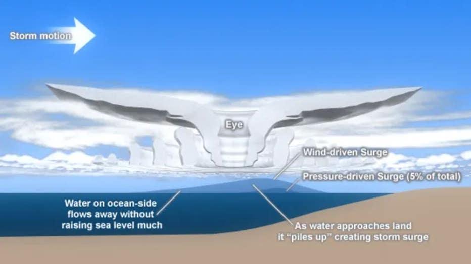
The storm motion is left to right with the circulation of the storm being counter-clockwise. Look at the water piling up at the right front quadrant of the cross-section of the hurricane. (The Comet Project and NOAA)
During Irma, the 115 mph winds out of the northeast were offshore wind and actually forced water out of Tampa Bay. FOX 13 video from the time shows exposed sea walls and Tampa residents walking on what hours before was underwater by feet.

From 2017: Hurricane Irma empties Tampa Bay
Tampa Bay was on the left side of Hurricane Irma in 2017 when it made landfall near Marco Island. The offshore winds blew the waters of the bay out to the Gulf of Mexico, allowing Tampa residents to walk along the muddy bottom of Hillsborough Bay from Bayshore.