

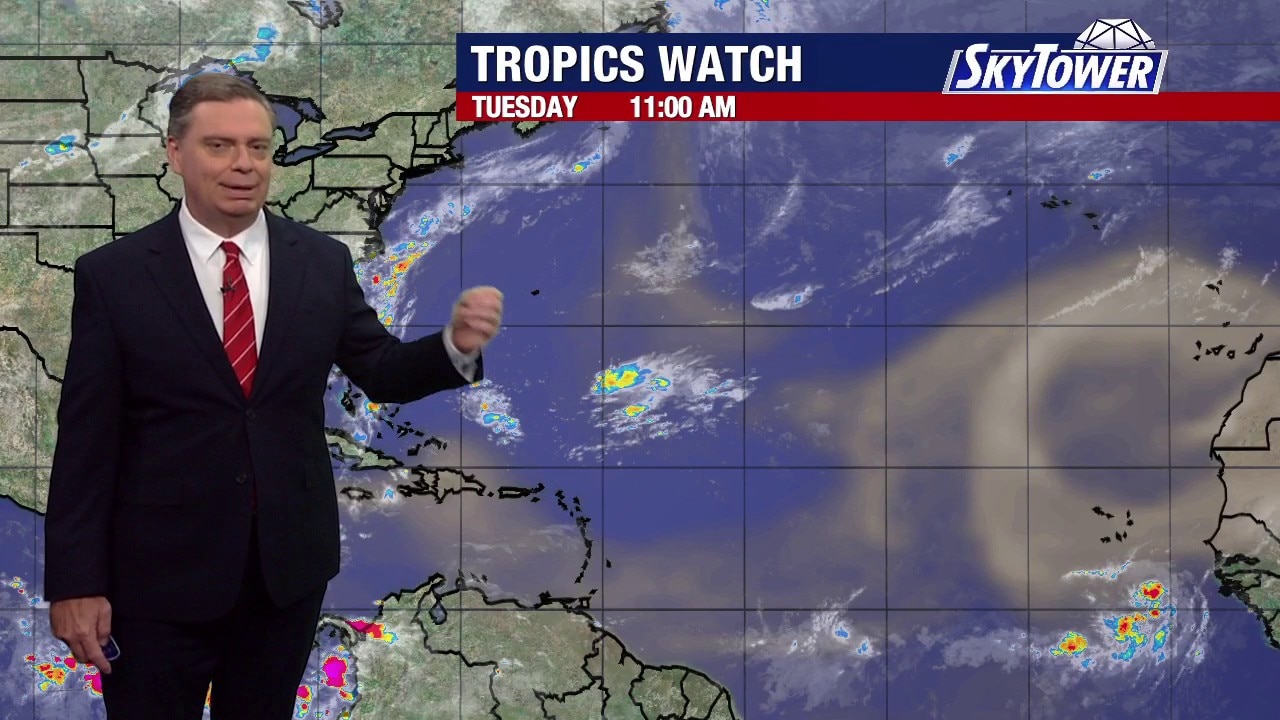
Saharan dust delays Atlantic storms
FOX 13 Meteorologist Jim Weber says we’re running behind when it comes to having named storms form during hurricane season. He said a large plume of Saharan dust is working its way off the coast of Africa, which is inhibiting tropical systems. Weber noted that there is a tropical wave rolling off the coast as well but is not supposed to develop over the next week.
FOX 13 Meteorologist Jim Weber says we’re running behind when it comes to having named storms form during hurricane season. He said a large plume of Saharan dust is working its way off the coast of Africa, which is inhibiting tropical systems. Weber noted that there is a tropical wave rolling off the coast as well but is not supposed to develop over the next week.
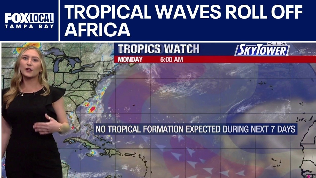
Tropical waves, Saharan dust roll off Africa
FOX 13 Meteorologist Valerie Mills is keeping an eye on the tropics and says Monday is usually when the third named storm of the season typically forms. However, she said everything is quiet, but she is keeping tabs on a couple of tropical waves coming off the coast of Africa. She added that Saharan dust plumes are creating an inhospitable environment for storm to form.
FOX 13 Meteorologist Valerie Mills is keeping an eye on the tropics and says Monday is usually when the third named storm of the season typically forms. However, she said everything is quiet, but she is keeping tabs on a couple of tropical waves coming off the coast of Africa. She added that Saharan dust plumes are creating an inhospitable environment for storm to form.
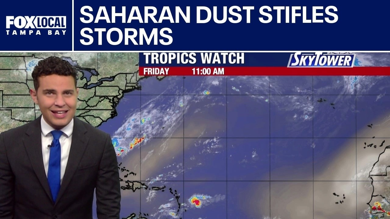
Saharan dust stifles storms
FOX 13 Meteorologist Nash Rhodes is keeping the quiet tropics. He said the National Hurricane Center is calling for no formation over the next seven days. According to Rhodes a plume of Saharan dust coming off the coast of Africa is bringing drier air across the Atlantic region making it difficult for storm systems to find their footing.
FOX 13 Meteorologist Nash Rhodes is keeping the quiet tropics. He said the National Hurricane Center is calling for no formation over the next seven days. According to Rhodes a plume of Saharan dust coming off the coast of Africa is bringing drier air across the Atlantic region making it difficult for storm systems to find their footing.
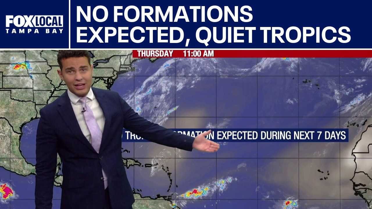
Quiet tropics, no formations expected
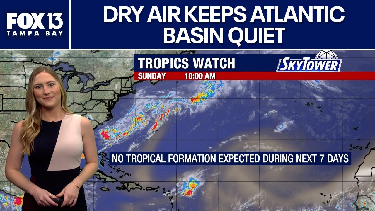
FOX 13’s Meteorologist Nash Rhodes reports that no tropical development is expected over the next seven days. High levels of dry air and Saharan dust are playing key roles as we enter early August. These hostile conditions make it difficult for any tropical systems to form.
FOX 13’s Meteorologist Nash Rhodes reports that no tropical development is expected over the next seven days. High levels of dry air and Saharan dust are playing key roles as we enter early August. These hostile conditions make it difficult for any tropical systems to form.
No tropical formation expected through July
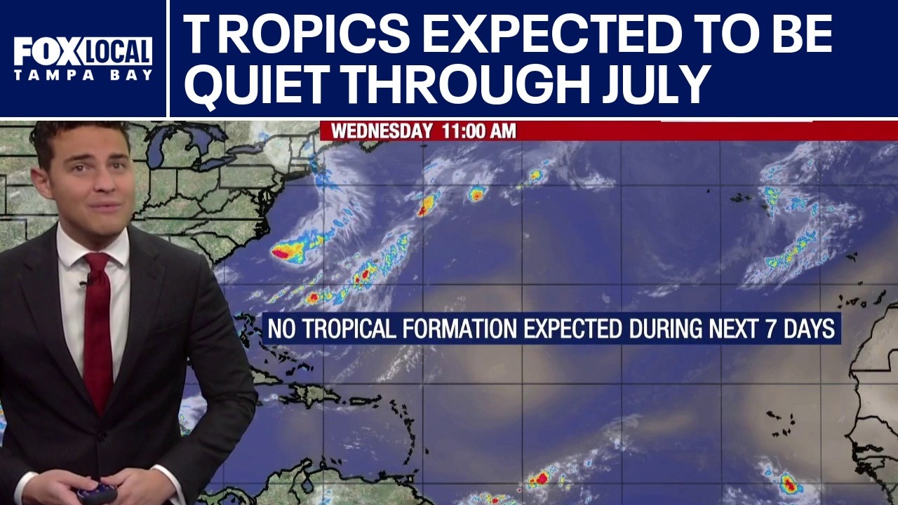
FOX 13's Meteorologist Nash Rhodes reports that the tropics should remain quiet through the end of July. Unfavorable environmental conditions—specifically strong upper-level winds and atmospheric dry air—are expected to suppress any tropical development over the next seven days.
FOX 13's Meteorologist Nash Rhodes reports that the tropics should remain quiet through the end of July. Unfavorable environmental conditions—specifically strong upper-level winds and atmospheric dry air—are expected to suppress any tropical development over the next seven days.
Unfavorable conditions keep things quiet in Atlantic
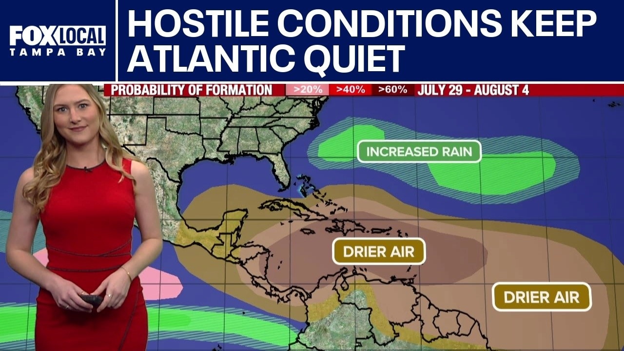
FOX 13’s Meteorologist Valerie Mills discusses what we’re watching in the tropics. Lots of dry air and Saharan dust across the Atlantic Basin, particularly over the Caribbean portions of the southern gulf as well, and a hostile environment are expected to keep things quiet through the end of July. Conditions remain unfavorable for any possible tropical development.
FOX 13’s Meteorologist Valerie Mills discusses what we’re watching in the tropics. Lots of dry air and Saharan dust across the Atlantic Basin, particularly over the Caribbean portions of the southern gulf as well, and a hostile environment are expected to keep things quiet through the end of July. Conditions remain unfavorable for any possible tropical development.
Tropics to remain quiet through July
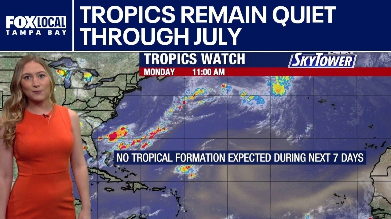
FOX 13 Meteorologist Valerie Mills is keeping an eye on the tropics. She says lots of dry air and Saharan dust coming across the Atlantic basin limits factors for any tropical development through the month of July and the start of August. No formations are being watched or highlighted over the next seven days by the National Hurricane Center. However, on the eastern pacific, two hurricanes are being watched. Hurricane Fausto, a Category 1 storm, and Hurricane Genevieve, a Category 4 storm, that will continue to weaken over open waters.
FOX 13 Meteorologist Valerie Mills is keeping an eye on the tropics. She says lots of dry air and Saharan dust coming across the Atlantic basin limits factors for any tropical development through the month of July and the start of August. No formations are being watched or highlighted over the next seven days by the National Hurricane Center. However, on the eastern pacific, two hurricanes are being watched. Hurricane Fausto, a Category 1 storm, and Hurricane Genevieve, a Category 4 storm, that will continue to weaken over open waters.
Saharan dust and drier air keep Caribbean quiet
FOX 13 meteorologist Valerie Mills says the tropics are quiet due to the heavy Saharan dust and dry air. She says she expects the dust to keep things quiet through the end of the month. Mills says she is keeping an eye on an area in the eastern pacific that has low chances of development.
FOX 13 meteorologist Valerie Mills says the tropics are quiet due to the heavy Saharan dust and dry air. She says she expects the dust to keep things quiet through the end of the month. Mills says she is keeping an eye on an area in the eastern pacific that has low chances of development.
Saharan dust returns, but tropics remain quiet
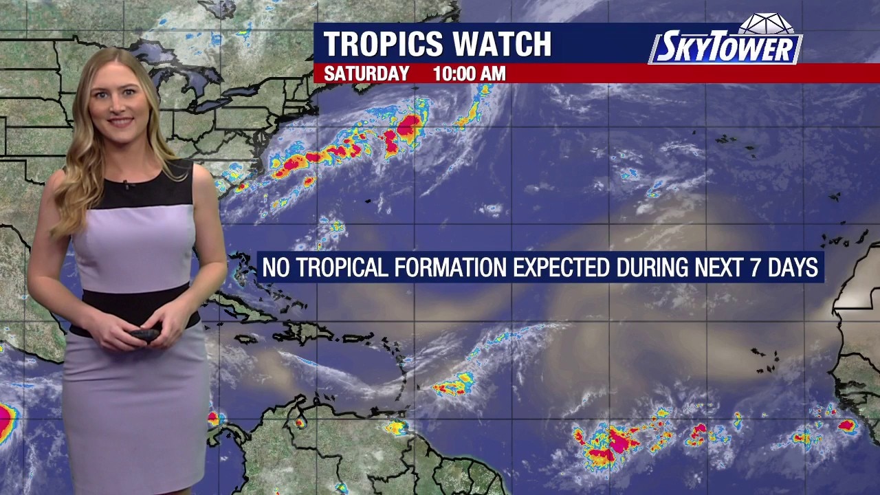
FOX 13 Meteorologist Valerie Mills says all is quiet with no formations that we are currently tracking over the next 7 days. Large plumes of Saharan dust are being monitored near portions of the Caribbean Islands, although they are not near Florida or the Gulf. The next 2026 storm name in line is Cristobal.
FOX 13 Meteorologist Valerie Mills says all is quiet with no formations that we are currently tracking over the next 7 days. Large plumes of Saharan dust are being monitored near portions of the Caribbean Islands, although they are not near Florida or the Gulf. The next 2026 storm name in line is Cristobal.
Tropical Storm Bertha fizzles out
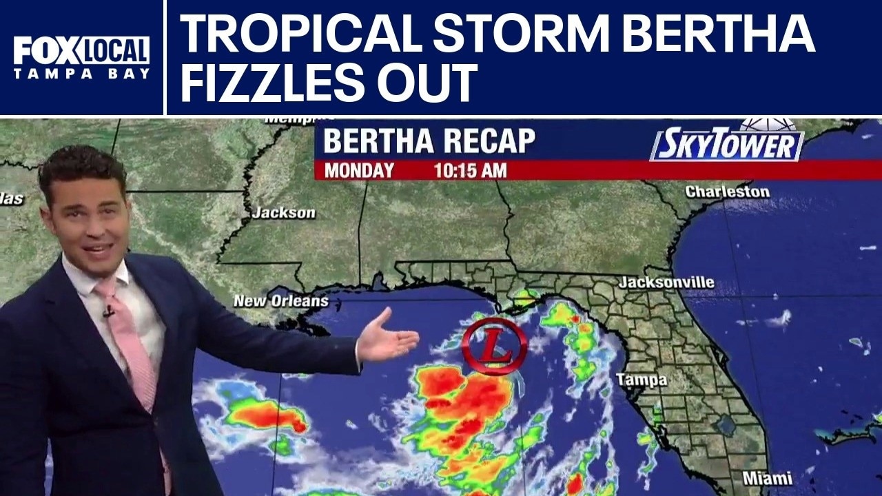
FOX 13 Meteorologist Nash Rhodes says Tropical Storm Bertha fizzled out late Thursday night after making landfall in Louisiana and Texas. He said no tropical formation is expected over the next seven days. According to Rhodes, upper-level wind shear and Saharan dust are keeping the tropics quiet.
FOX 13 Meteorologist Nash Rhodes says Tropical Storm Bertha fizzled out late Thursday night after making landfall in Louisiana and Texas. He said no tropical formation is expected over the next seven days. According to Rhodes, upper-level wind shear and Saharan dust are keeping the tropics quiet.
Tropical Storm Bertha to make 2nd landfall
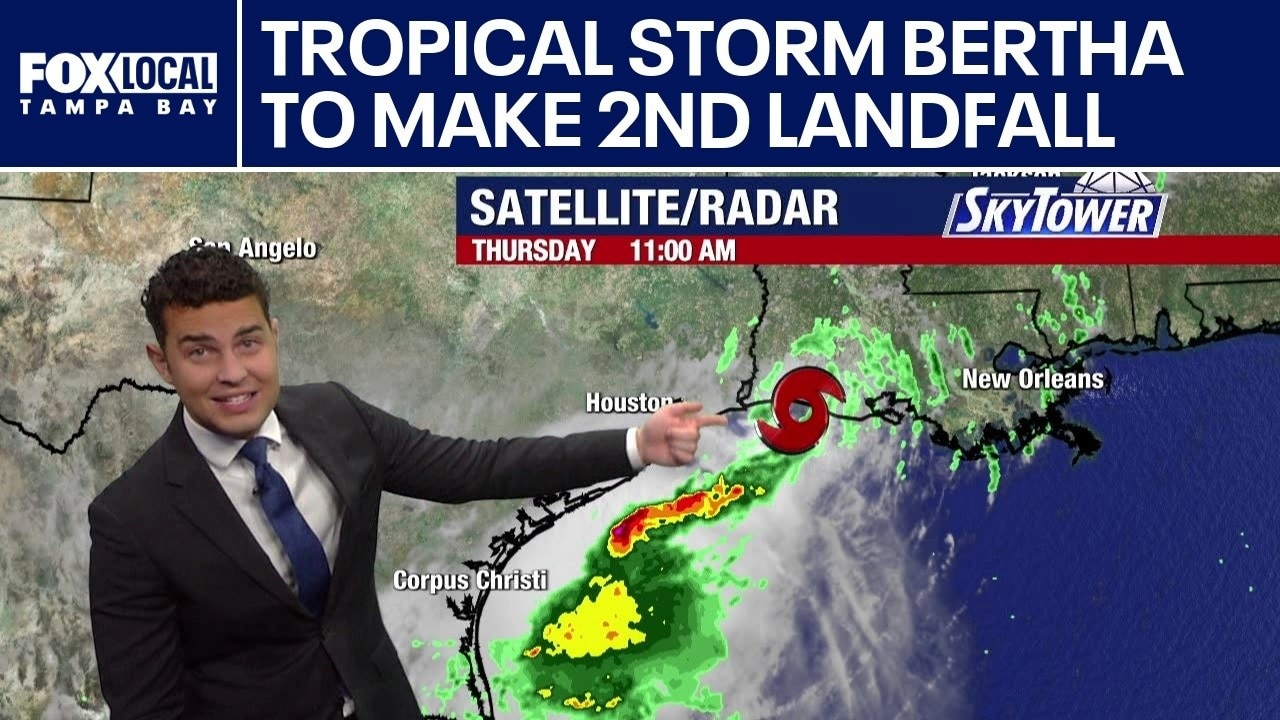
Tropical Storm Bertha to make 2nd landfall FOX 13 Meteorologist Nash Rhodes is keeping tabs on Tropical Storm Bertha which made landfall on Wednesday in Louisiana. It is expected to make another landfall in Texas on Thursday afternoon. It is moving west at 10 miles per hour and it has winds of 45 miles per hour. The deeper the storm moves into Texas, the quicker it begins to weaken.
Tropical Storm Bertha to make 2nd landfall FOX 13 Meteorologist Nash Rhodes is keeping tabs on Tropical Storm Bertha which made landfall on Wednesday in Louisiana. It is expected to make another landfall in Texas on Thursday afternoon. It is moving west at 10 miles per hour and it has winds of 45 miles per hour. The deeper the storm moves into Texas, the quicker it begins to weaken.
Tropical Storm Bertha to make landfall Wednesday
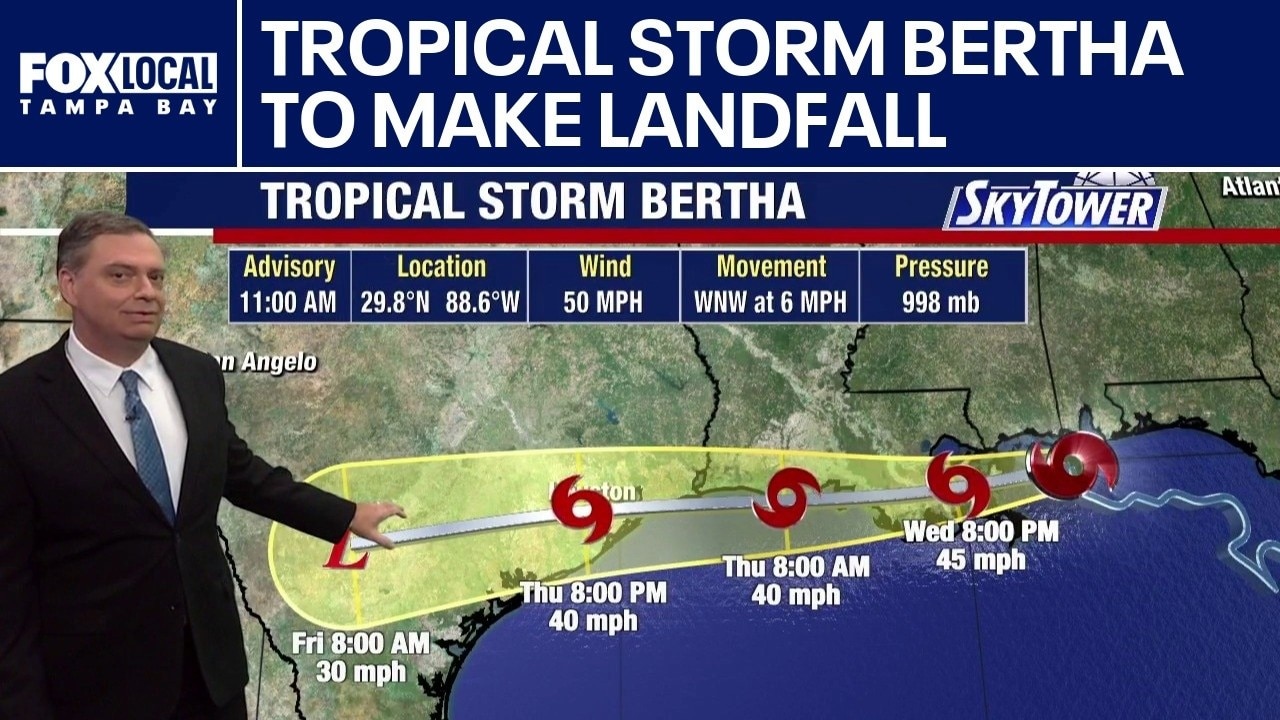
FOX 13 Meteorologist Jim Weber is monitoring Tropical Strom Bertha, which is expected to make landfall on Wednesday. He said most of the rainy, windy weather associated with the storm is to the south of the center of Bertha. According to Weber the wind shear is keeping the system from intensifying. After making landfall, the tropical storm will continue moving west-northwest along the coastline of Louisiana and Texas.
FOX 13 Meteorologist Jim Weber is monitoring Tropical Strom Bertha, which is expected to make landfall on Wednesday. He said most of the rainy, windy weather associated with the storm is to the south of the center of Bertha. According to Weber the wind shear is keeping the system from intensifying. After making landfall, the tropical storm will continue moving west-northwest along the coastline of Louisiana and Texas.
Tropical Storm Bertha heads toward Louisiana
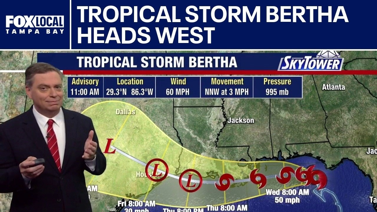
FOX 13 Meteorologist Jim Weber is watching Tropical Storm Bertha, which formed on Monday night. He said the system is getting better organized and strengthened. As of 11 a.m. on Tuesday, it had winds of 60 mph and was moving north-northwest at three miles per hour. Weber added that it will begin weakening on Wednesday as it works its way toward the Louisiana coast. Some computer models have Bertha dissipating after hitting Louisiana, while others have it heading toward Texas.
FOX 13 Meteorologist Jim Weber is watching Tropical Storm Bertha, which formed on Monday night. He said the system is getting better organized and strengthened. As of 11 a.m. on Tuesday, it had winds of 60 mph and was moving north-northwest at three miles per hour. Weber added that it will begin weakening on Wednesday as it works its way toward the Louisiana coast. Some computer models have Bertha dissipating after hitting Louisiana, while others have it heading toward Texas.

Tropical Storm Bertha strengthens, Gulf Coast flood risk grows
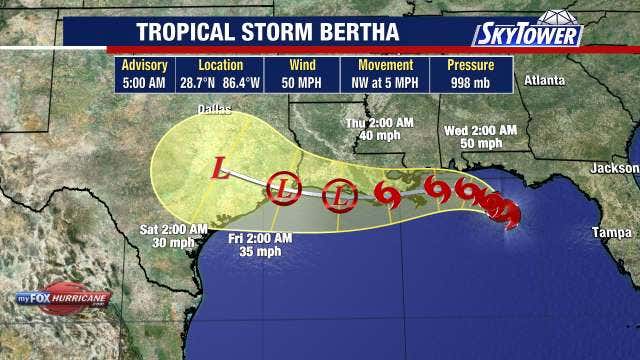
Tropical Storm Bertha formed Monday evening and strengthened overnight in the Gulf, continuing to slowly organize as it tracks near the northern Gulf Coast, according to the National Hurricane Center (NHC).
Tropical Storm Bertha formed Monday evening and strengthened overnight in the Gulf, continuing to slowly organize as it tracks near the northern Gulf Coast, according to the National Hurricane Center (NHC).
Tropical Storm Bertha expected to form in Gulf
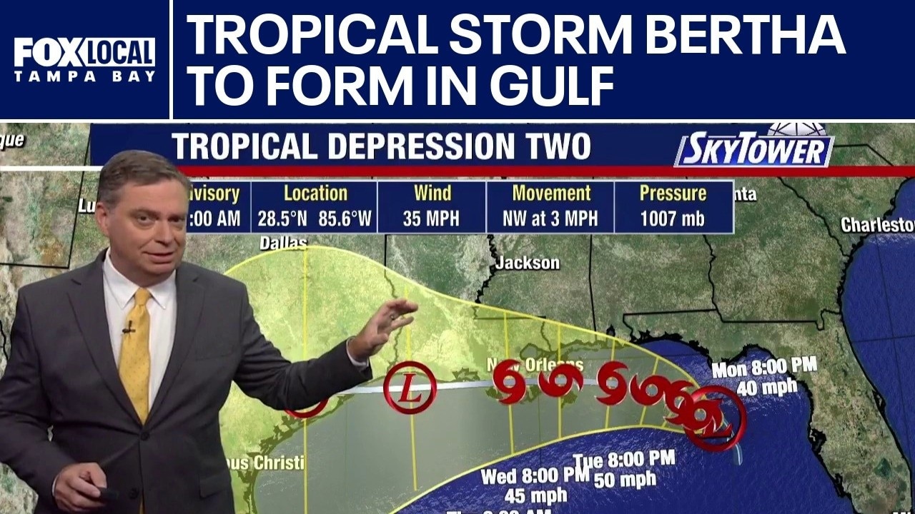
FOX 13 Meteorologist Jim Weber is keeping an eye on Tropical Depression Two. He said that while it is getting better organized, it is still a disorganized system. Weber said the storm is dealing with wind shear and there are obstacles in its way that is preventing it from developing quickly. However, it is expected to become Tropical Storm Bertha this week. Weber added that winds were at 35 mph around 11:30 a.m. on Monday and it was moving northwest at three miles per hour. A tropical storm watch is up from the Florida Panhandle to Louisiana.
FOX 13 Meteorologist Jim Weber is keeping an eye on Tropical Depression Two. He said that while it is getting better organized, it is still a disorganized system. Weber said the storm is dealing with wind shear and there are obstacles in its way that is preventing it from developing quickly. However, it is expected to become Tropical Storm Bertha this week. Weber added that winds were at 35 mph around 11:30 a.m. on Monday and it was moving northwest at three miles per hour. A tropical storm watch is up from the Florida Panhandle to Louisiana.

Tropical Depression Two expected to become tropical storm Monday
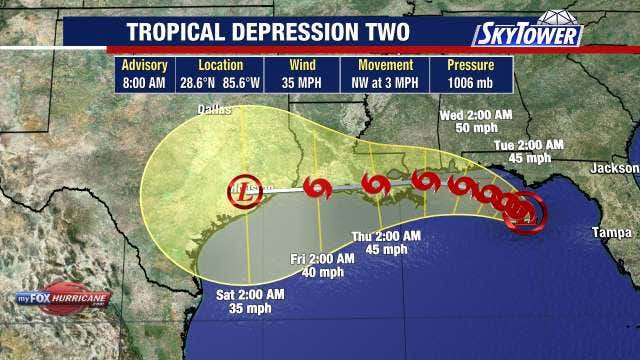
Tropical Depression Two continues to organize in the Gulf and is expected to strengthen into a tropical storm later Monday as it tracks near Florida's northern Gulf Coast over the next several days.
Tropical Depression Two continues to organize in the Gulf and is expected to strengthen into a tropical storm later Monday as it tracks near Florida's northern Gulf Coast over the next several days.
Tropical Depression Two forms in Gulf
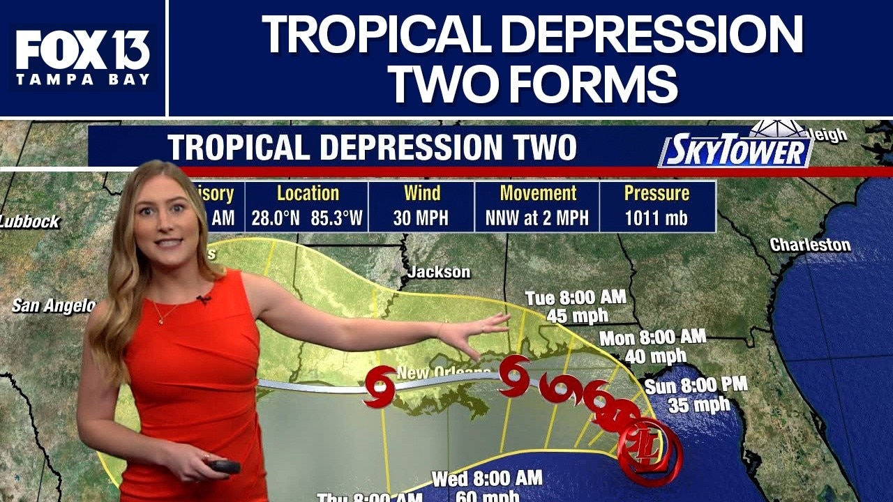
FOX 13 Meteorologist Valerie Mills says portions of the Florida Panhandle are under a Tropical Storm Watch after the tropical disturbance elevated to Tropical Depression Two. Mills says she will be watching out for tropical storm conditions for Monday and Tuesday. She says the development will travel along the Gulf coast further into the week. She says this will most likely become our next named storm, Bertha.
FOX 13 Meteorologist Valerie Mills says portions of the Florida Panhandle are under a Tropical Storm Watch after the tropical disturbance elevated to Tropical Depression Two. Mills says she will be watching out for tropical storm conditions for Monday and Tuesday. She says the development will travel along the Gulf coast further into the week. She says this will most likely become our next named storm, Bertha.

Unsettled Gulf weather moves toward Florida
FOX 13 meteorologist Valerie Mills says unsettled weather in the Gulf will be affecting Florida for the next few days. She says she is watching it for tropical development, but the odds are still low. Mills says there is a 20% chance of development in the next 2 days, while there’s a 30% chance in the next 7.
FOX 13 meteorologist Valerie Mills says unsettled weather in the Gulf will be affecting Florida for the next few days. She says she is watching it for tropical development, but the odds are still low. Mills says there is a 20% chance of development in the next 2 days, while there’s a 30% chance in the next 7.
Gulf system to bring downpours to Florida
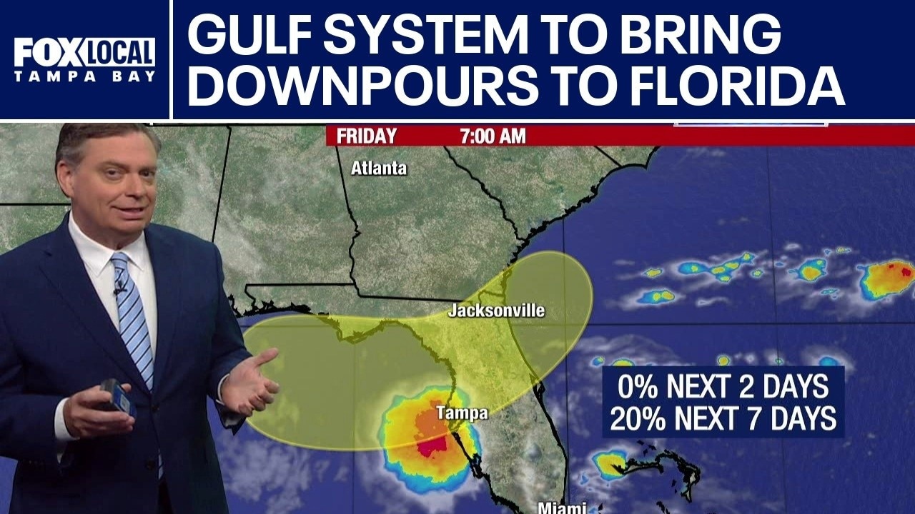
FOX 13 Meteorologist Jim Weber is continuing to watch an area in the Gulf that is expected to bring much-needed rain to Florida this weekend. He said the system will likely drift to the north and northwest and will linger before heading to the northeast. He said to get a tropical depression, or a tropical storm there needs to be winds and a closed low and he is not seeing that in the models yet. Weber is also tracking a system off the coast of Africa that has a 10% chance of developing over the next week. He says it will likely enter a hostile environment and dissipate.
FOX 13 Meteorologist Jim Weber is continuing to watch an area in the Gulf that is expected to bring much-needed rain to Florida this weekend. He said the system will likely drift to the north and northwest and will linger before heading to the northeast. He said to get a tropical depression, or a tropical storm there needs to be winds and a closed low and he is not seeing that in the models yet. Weber is also tracking a system off the coast of Africa that has a 10% chance of developing over the next week. He says it will likely enter a hostile environment and dissipate.
Rain chances increase this weekend
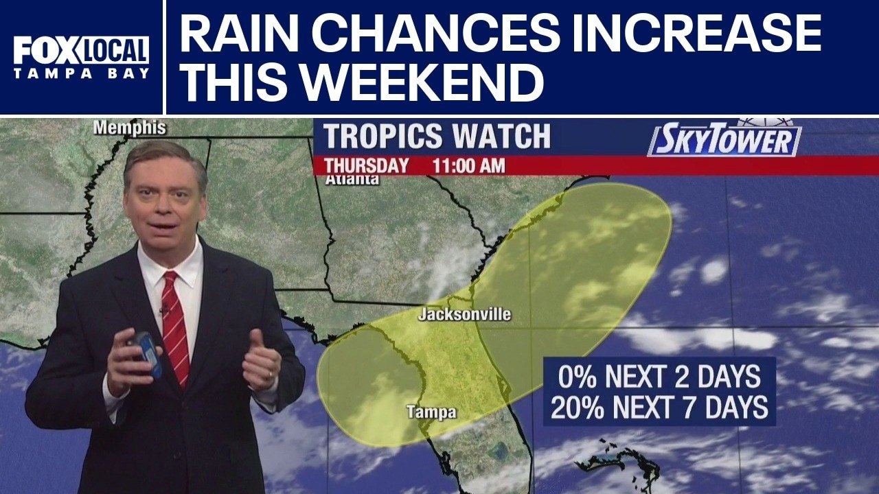
FOX 13 Meteorologist Jim Weber is still watching an area that has been highlighted by the National Hurricane Center in the Gulf. He said there is nothing there as of Thursday morning, but over the next few days, he will be watching for the potential of an area of low pressure developing and crossing the northeastern Gulf as we head into the weekend. It has a 20% chance of developing over the next seven days. He is also watching a tropical wave off the coast of Africa that is expected to head into an area that is not favorable for any development.
FOX 13 Meteorologist Jim Weber is still watching an area that has been highlighted by the National Hurricane Center in the Gulf. He said there is nothing there as of Thursday morning, but over the next few days, he will be watching for the potential of an area of low pressure developing and crossing the northeastern Gulf as we head into the weekend. It has a 20% chance of developing over the next seven days. He is also watching a tropical wave off the coast of Africa that is expected to head into an area that is not favorable for any development.