Fred degenerates to tropical wave; risk of severe weather remains

Saturday evening tropics forecast update
As Tropical Depression Fred moves out into the Gulf of Mexico Saturday night into Sunday, Tropical Storm Grace is close on Fred's heels.
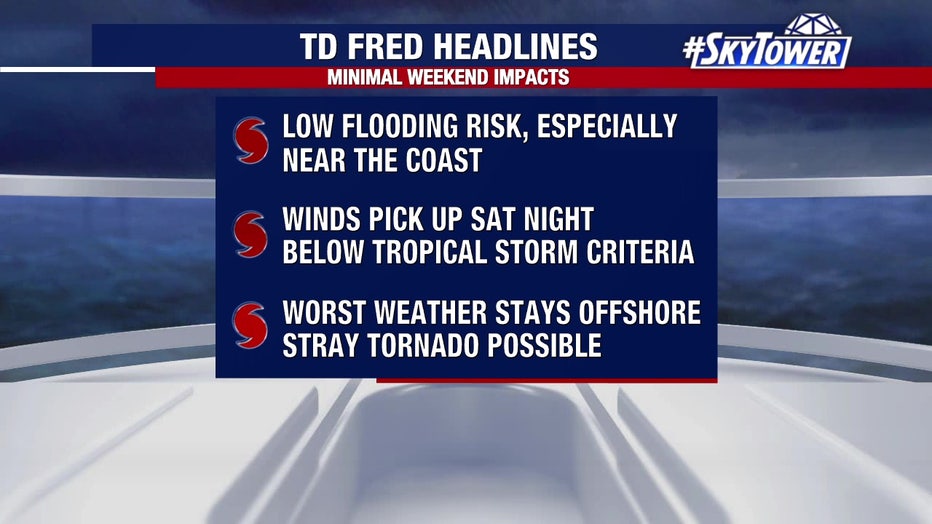
TAMPA, Fla. - Tropical Depression Fred continued to struggle Saturday as it skirted the coast of Cuba. Now just a tropical wave, the system’s eventual impact on Florida will be less than first feared.
The National Hurricane Center said interaction with Cuba had "significantly disrupted" Fred’s circulation, ripping the ragged system apart. Still, they expect Fred to re-strengthen as it crosses the warm waters of the Gulf of Mexico this weekend.
LINK: Track Fred on MyFoxHurricane.com

Forecasters are confident that Fred will remain off Florida’s coast this weekend, keeping Bay Area counties out of the cone of uncertainty.
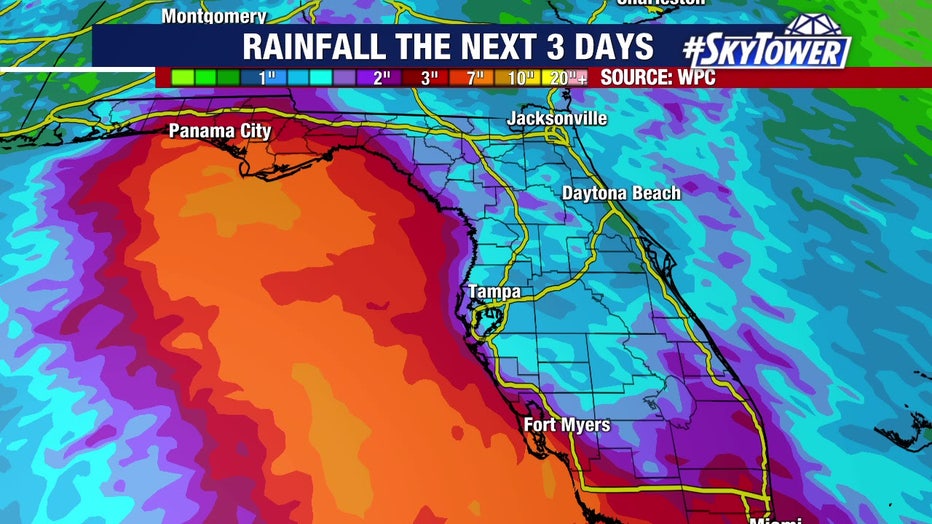
Although Fred’s center will push out into the Gulf of Mexico, the eastern side of the system may still bring rain to Florida’s west coast.

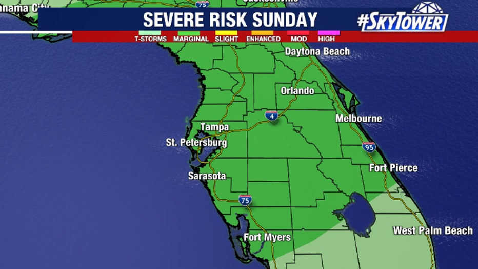
"Pretty much the entire state at some point this weekend will be under a marginal risk for severe weather. Mainly what that's for is for some of those outer bands that could generate a rotating thunderstorm or quick spin up tornado," FOX 13 meteorologist Tony Sadiku offered. "It could get a little bit breezy along the beaches an you probably don't want to be on the water, but we're not talking about a significant wind system."

Watches and warnings were issued Friday ahead of Fred's approach to South Florida and Governor Ron DeSantis issued a state of emergency for 27 counties, including Manatee County.
As of Saturday, only the tropical storm warning for the Florida Keys remained in effect.

LINK: Track Fred on MyFoxHurricane.com
Meanwhile, further out into the Atlantic, Tropical Storm Grace formed Saturday on what may be a similar initial path as Fred.
Featured
Small but speedy Tropical Storm Grace follows in Fred's footsteps
Some computer models show Tropical Storm Grace taking a track similar to Fred's. The storm’s eventual impact on Florida, if any, is not yet clear. Like Fred, land interaction through the Caribbean will play a large role.


